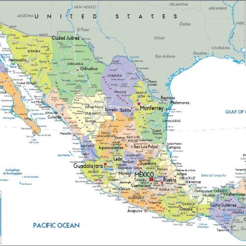
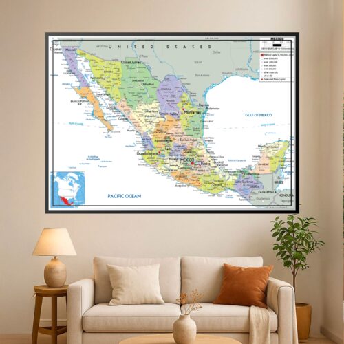
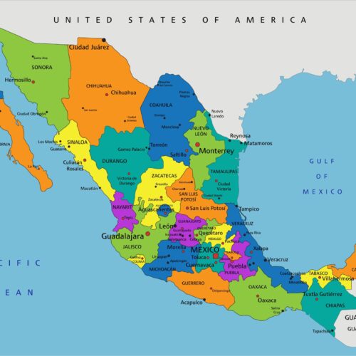
Political Map of Mexico with States and Major Cities Wall map poster with political map character, ideal for offices, classrooms, libraries, studies and.
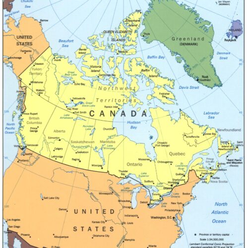
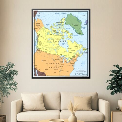
Political Map of North America – Geographic Reference Art map poster with political map character, ideal for offices, classrooms, libraries, studies and.
Political Map of North America – Geographic Reference Art map poster with political map character, ideal for offices, classrooms, libraries, studies and.
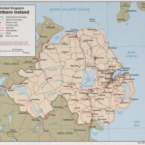
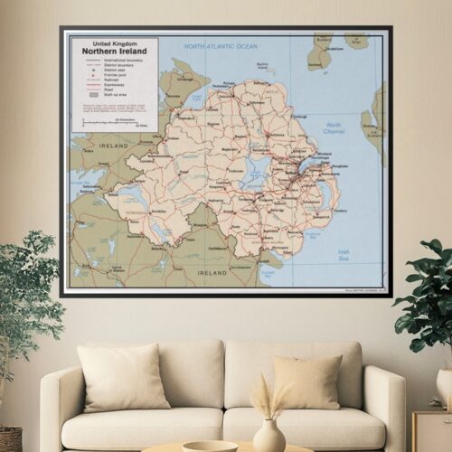
Political Map of Northern Ireland map poster with political map character, ideal for offices, classrooms, libraries, studies and travel-inspired wall decor.
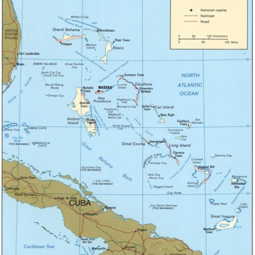
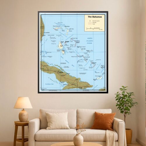
Political Map of The Bahamas – Geographic Reference Wall Art map poster with political map character, ideal for offices, classrooms, libraries, studies and.
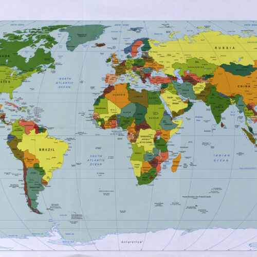
Political Map of the world Political and Physical Maps 1998 map poster with physical map character, ideal for offices, classrooms, libraries, studies and.
Serbia and Montenegro Political Map map poster with political map character, ideal for offices, classrooms, libraries, studies and travel-inspired wall decor.
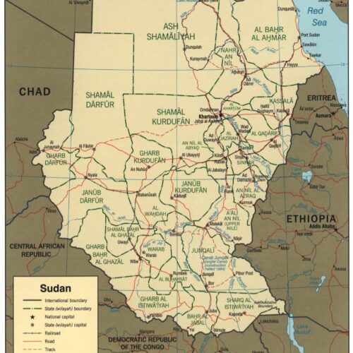
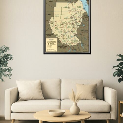
Sudan Map – Administrative Divisions and State Capitals map poster with political map character, ideal for offices, classrooms, libraries, studies and.
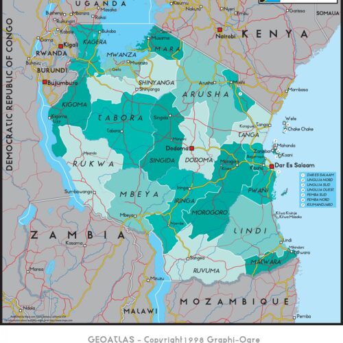
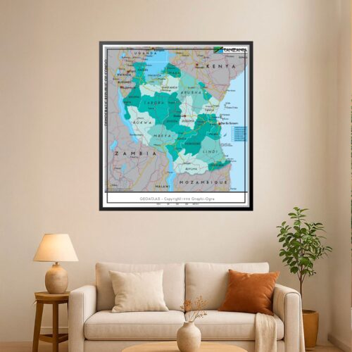
Tanzania Administrative Regions Map map poster with political map character, ideal for offices, classrooms, libraries, studies and travel-inspired wall decor.
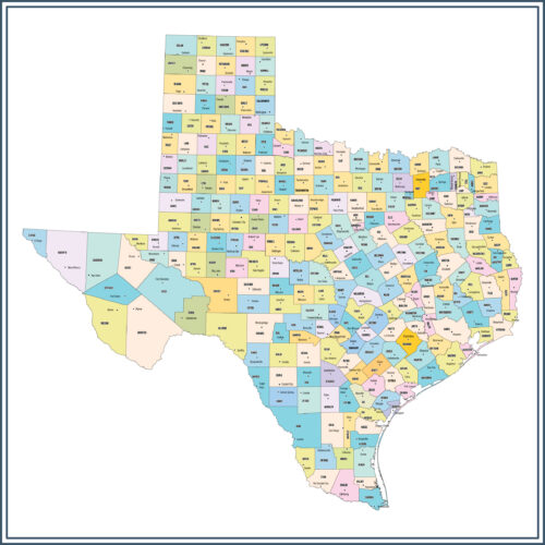
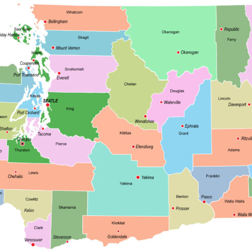
Texas County Map and County Seats map poster with political map character, ideal for offices, classrooms, libraries, studies and travel-inspired wall decor.
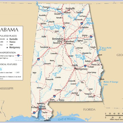
The detailed map of Alabama with boundaries map poster with political map character, ideal for offices, classrooms, libraries, studies and travel-inspired.
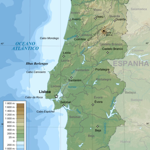
Topographic and administrative map in Portuguese of Portugal map poster with topographic map character, ideal for offices, classrooms, libraries, studies.
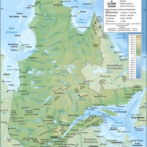
Topographic map in French of Quebec map poster with topographic map character, ideal for offices, classrooms, libraries, studies and travel-inspired wall.
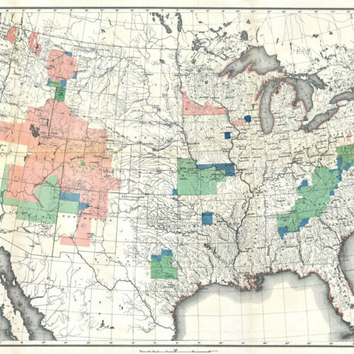
Topographic Survey Map of the USA Geographicus -1888. map poster with topographic map character, ideal for offices, classrooms, libraries, studies and.
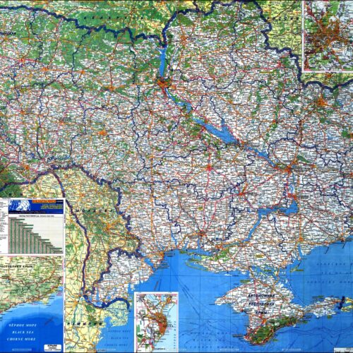
Ukraine Map Large Scale Roads and Highways map poster with political map character, ideal for offices, classrooms, libraries, studies and travel-inspired.
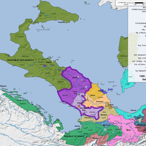
Upside Down Political map of Italy 1450-1500 map poster with political map character, ideal for offices, classrooms, libraries, studies and travel-inspired.
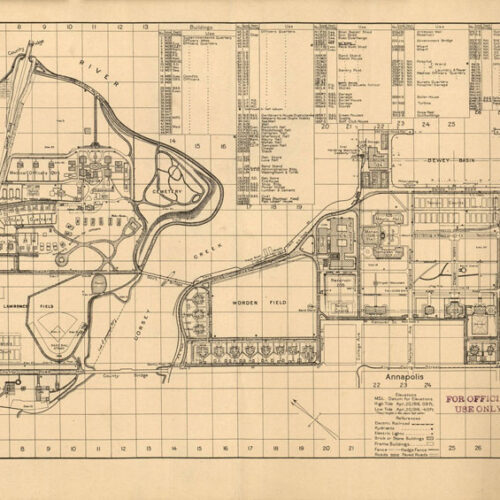
US Naval Academy. Political Topographical and Physical Maps map poster with physical map character, ideal for offices, classrooms, libraries, studies and.
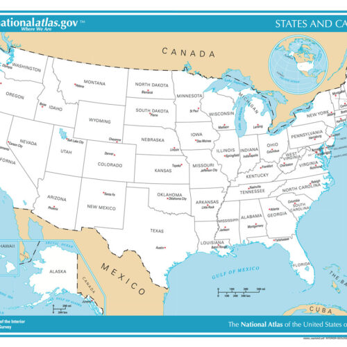
US States and capitals Political Topographical and Physical map poster with physical map character, ideal for offices, classrooms, libraries, studies and.
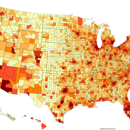
USA Population Map by Counties map poster with political map character, ideal for offices, classrooms, libraries, studies and travel-inspired wall decor.
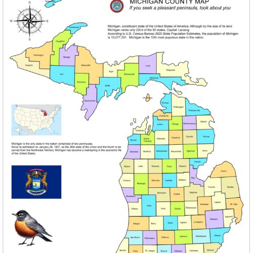
Vibrant Michigan County Map: A Colorful Guide to Michigan's map poster with political map character, ideal for offices, classrooms, libraries, studies and.
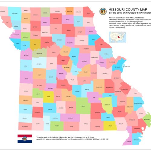
Vibrant Missouri County Map: A Colorful Guide to Missouri's map poster with political map character, ideal for offices, classrooms, libraries, studies and.
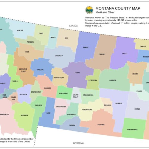
Vibrant Montana County Map: A Colorful Guide to Montana's map poster with political map character, ideal for offices, classrooms, libraries, studies and.
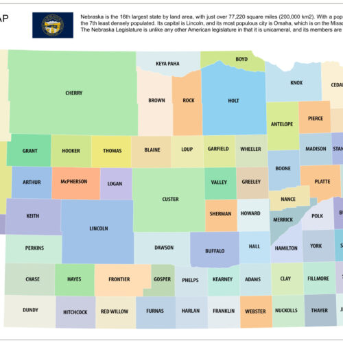
Vibrant Nebraska County Map: A Colorful Guide to Nebraska's map poster with political map character, ideal for offices, classrooms, libraries, studies and.
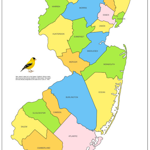
Vibrant New Jersey County Map: A Colorful Guide to NJ's map poster with political map character, ideal for offices, classrooms, libraries, studies and.
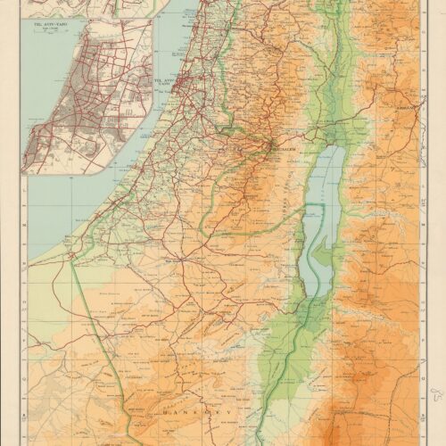
Vintage Political Map of Israel map poster with political map character, ideal for offices, classrooms, libraries, studies and travel-inspired wall decor.
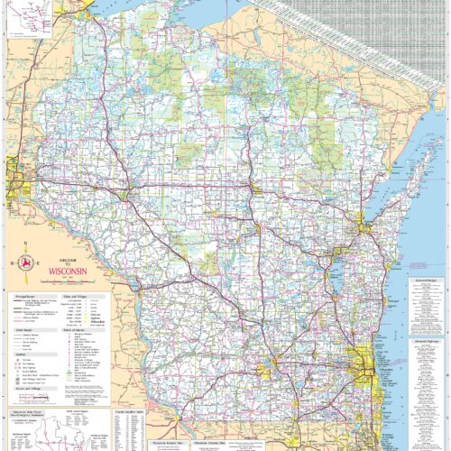
Wisconsin State Highway Detailed Map map poster with political map character, ideal for offices, classrooms, libraries, studies and travel-inspired wall.