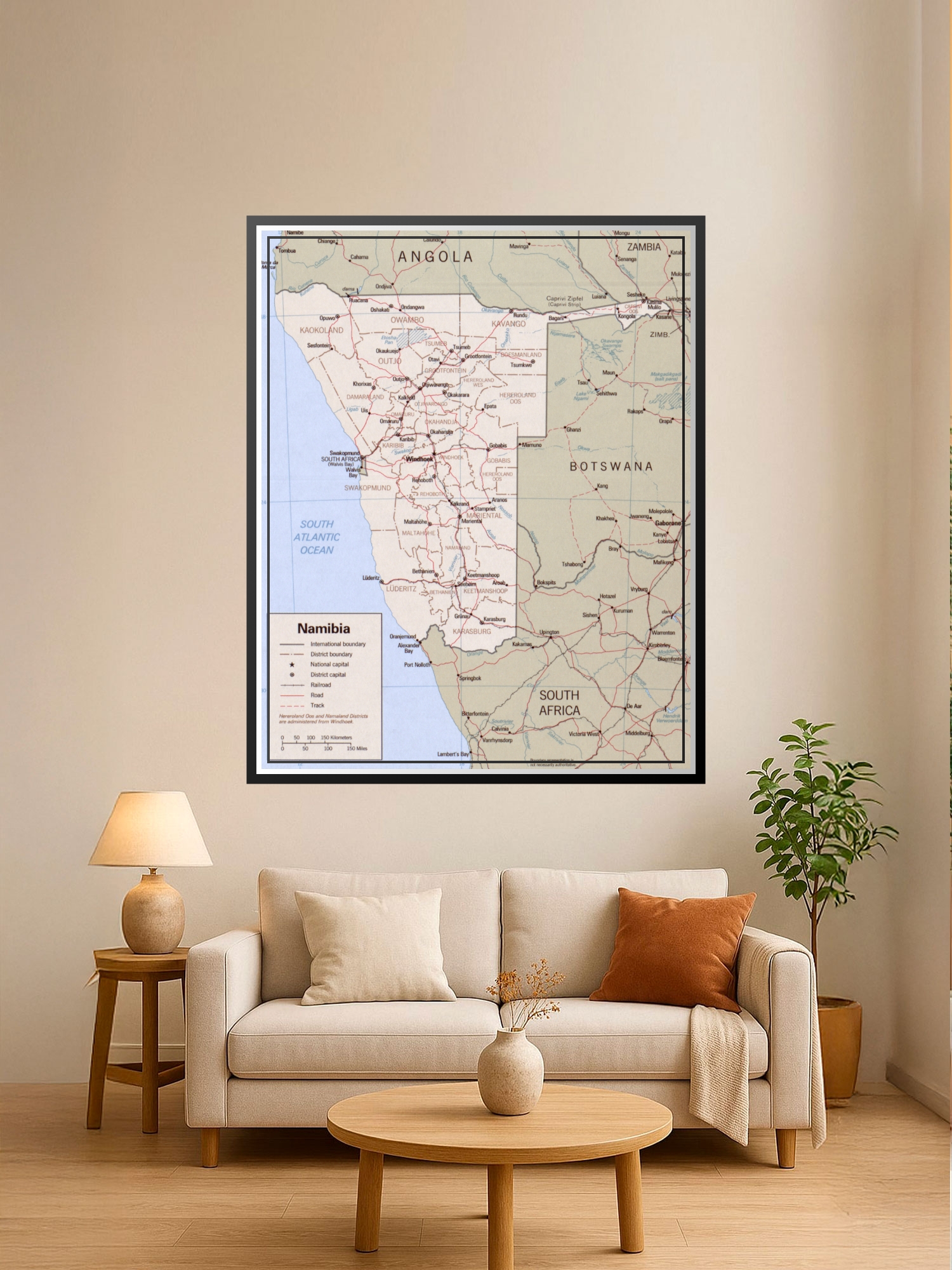
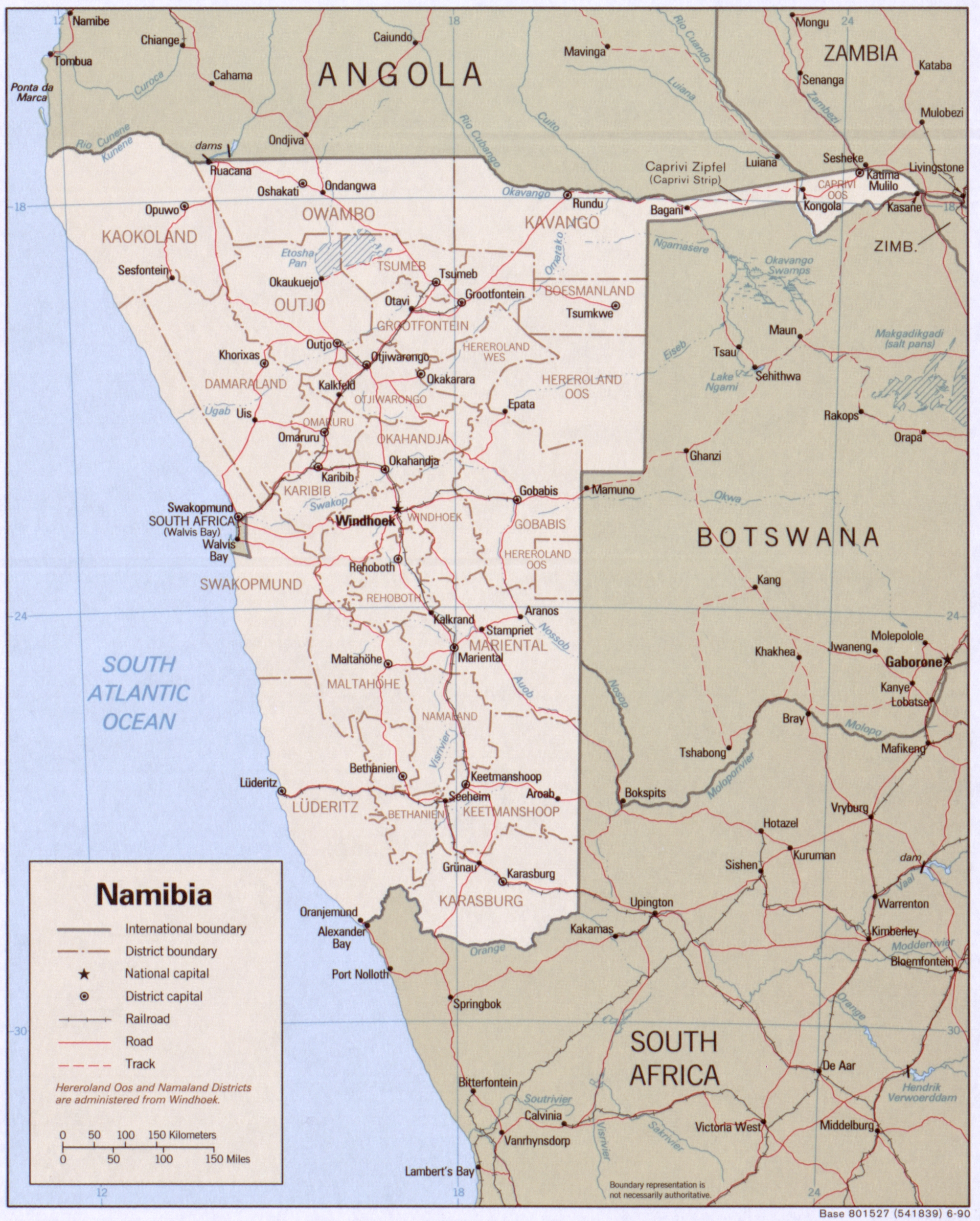
Political Map of Namibia Poster – Regional Boundaries & Travel Guide

| Weight | 8 oz |
|---|---|
| Dimensions | 26 × 2 × 2 in |
| Size (inches) | |
| Finishing Options |
Political Map of Namibia Poster – Regional Boundaries & Travel Guide
Explore southern Africa with this detailed political map of Namibia, showcasing international borders, district boundaries, major cities, and transportation networks. Perfect for geography enthusiasts, travelers, educators, and anyone planning a Namibian adventure. The map features clearly marked regions including Kakoland, Owambo, Kavango, and Kalahari, with road and railroad routes for navigation reference. Ideal for classrooms, home offices, travel planning spaces, and geographical collections. Gallery-quality cartographic print on archival paper, ready to frame and display.
Available Finishes
- A classic, high-quality poster print with crisp detail and solid color.
- Ideal for everyday wall art, dorms, offices, and framing behind glass.
- Great choice when you want a traditional poster look at a good value.
- Sealed with a protective laminate layer for added strength and wipe-clean protection.
- Resists moisture, fingerprints, and scuffs.
- Great for high-traffic areas, classrooms, shops, and break rooms.
- Professional matte-coated paper with a smooth, refined texture.
- Reduces glare while maintaining rich, accurate color tones.
- Perfect for text-heavy designs, illustrations, and minimalist art.
How to Choose the Right Finish for Your Map
similar maps

Reviews
There are no reviews yet.