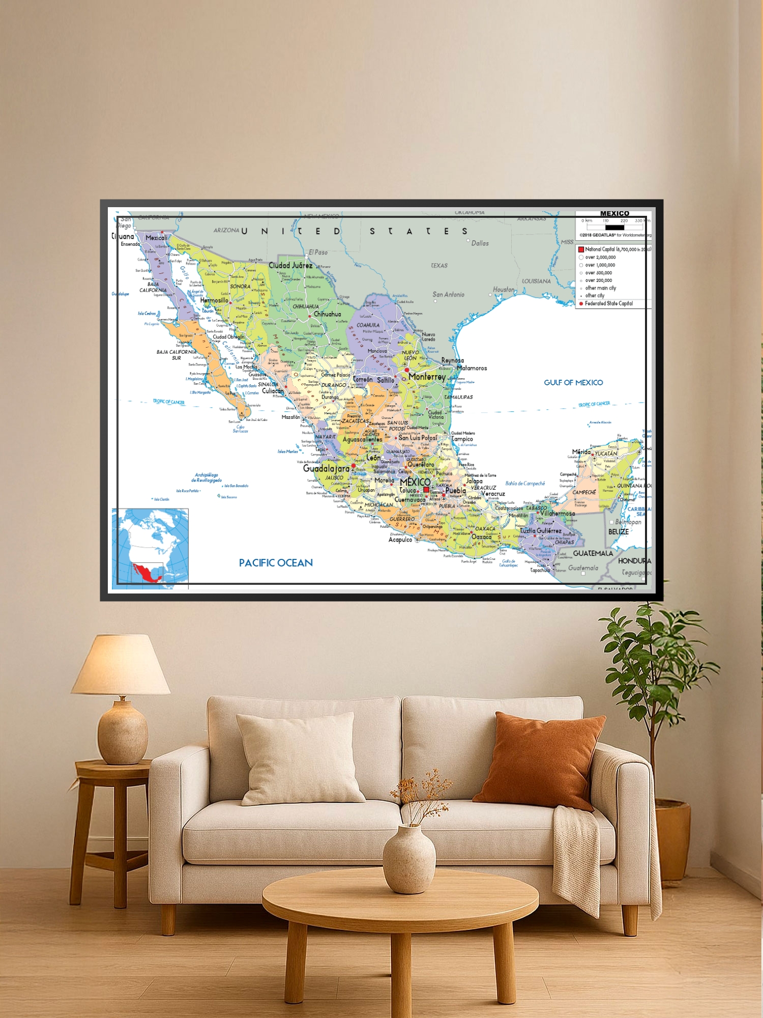
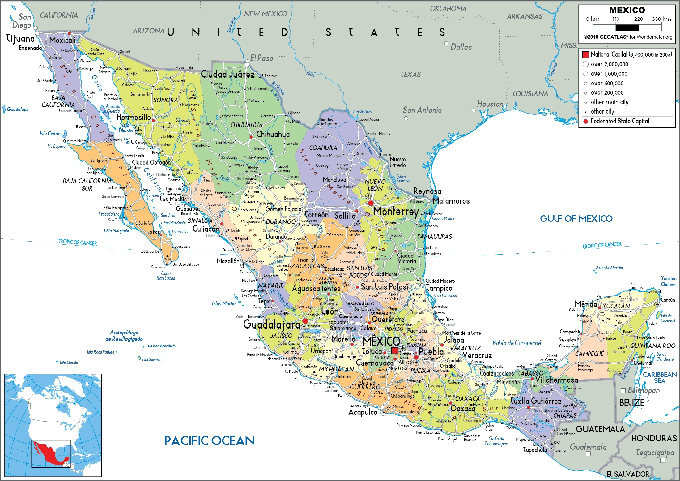
Political Map of Mexico Poster – States & Capitals | Educational Wall Art

| Weight | 8 oz |
|---|---|
| Dimensions | 26 × 2 × 2 in |
| Size (inches) | |
| Finishing Options |
Political Map of Mexico Poster – States & Capitals | Educational Wall Art
Explore Mexico’s rich geography with this detailed political map showcasing all 31 states, federal entities, major cities, and capital locations. Color-coded regions make it easy to distinguish state boundaries while clear labeling of key cities like Mexico City, Guadalajara, and Monterrey provides geographic context. Perfect for classrooms, offices, travel enthusiasts, and anyone planning Mexican adventures or studying North American geography. This educational wall art combines cartographic precision with vibrant regional colors that bring Mexico’s diverse landscape to life. Printed on archival-grade paper with fade-resistant inks, ready to frame and display in study rooms, libraries, or living spaces.
Available Finishes
- A classic, high-quality poster print with crisp detail and solid color.
- Ideal for everyday wall art, dorms, offices, and framing behind glass.
- Great choice when you want a traditional poster look at a good value.
- Sealed with a protective laminate layer for added strength and wipe-clean protection.
- Resists moisture, fingerprints, and scuffs.
- Great for high-traffic areas, classrooms, shops, and break rooms.
- Professional matte-coated paper with a smooth, refined texture.
- Reduces glare while maintaining rich, accurate color tones.
- Perfect for text-heavy designs, illustrations, and minimalist art.
How to Choose the Right Finish for Your Map
Reviews
There are no reviews yet.