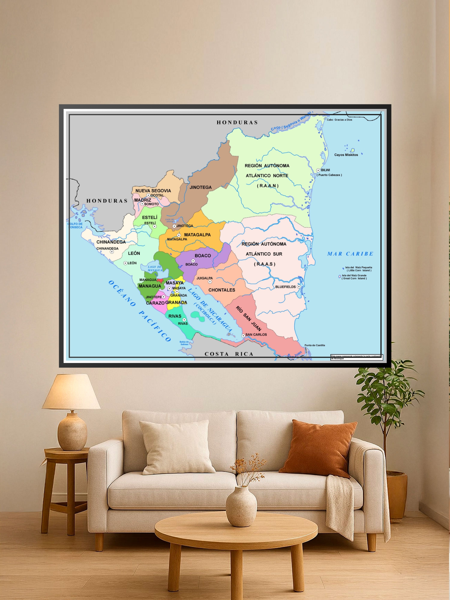
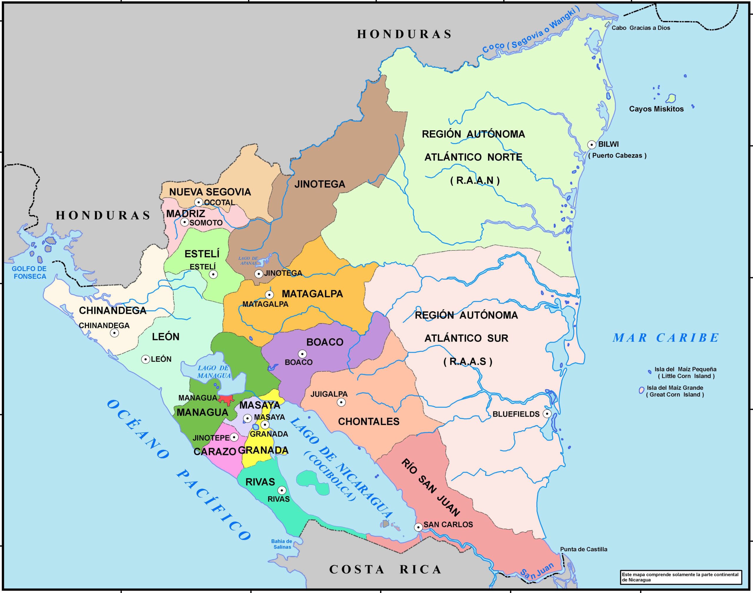
Political Map of Nicaragua Poster – Regional Divisions & Geography

| Weight | 8 oz |
|---|---|
| Dimensions | 26 × 2 × 2 in |
| Size (inches) | |
| Finishing Options |
Political Map of Nicaragua Poster – Regional Divisions & Geography
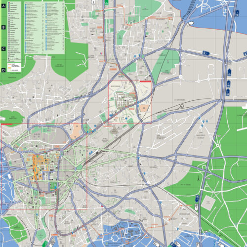
This detailed political map of Nicaragua showcases the country’s administrative departments and autonomous regions with color-coded clarity and geographic precision. The cartographic design displays all major cities, regional boundaries, and coastal outlines with clean typography and clear blue borders delineating the Caribbean Sea and Pacific Ocean. Perfect for educators, students, travelers, and geography enthusiasts who want to understand Nicaragua’s regional structure, it combines accuracy with visual appeal. Ideal for classrooms, home offices, travel-themed rooms, and study spaces where geographic knowledge enhances decor. A thoughtful gift for teachers, travelers, or anyone planning trips to Central America. Gallery-quality print on archival-grade paper ensures legibility and durability for years of reference and display.
Available Finishes
- A classic, high-quality poster print with crisp detail and solid color.
- Ideal for everyday wall art, dorms, offices, and framing behind glass.
- Great choice when you want a traditional poster look at a good value.
- Sealed with a protective laminate layer for added strength and wipe-clean protection.
- Resists moisture, fingerprints, and scuffs.
- Great for high-traffic areas, classrooms, shops, and break rooms.
- Professional matte-coated paper with a smooth, refined texture.
- Reduces glare while maintaining rich, accurate color tones.
- Perfect for text-heavy designs, illustrations, and minimalist art.
How to Choose the Right Finish for Your Map

Reviews
There are no reviews yet.