-
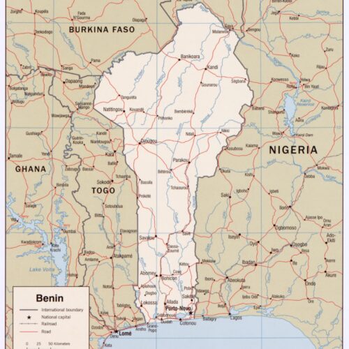
 Benin Political Map – West Africa Borders, Roads & Capitals map poster with political map character, ideal for offices, classrooms, libraries, studies and.
 -
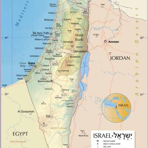 Map of Israel and Surrounding Regions Including West Bank map poster with political map character, ideal for offices, classrooms, libraries, studies and.
 -
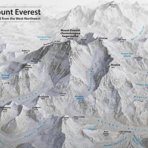
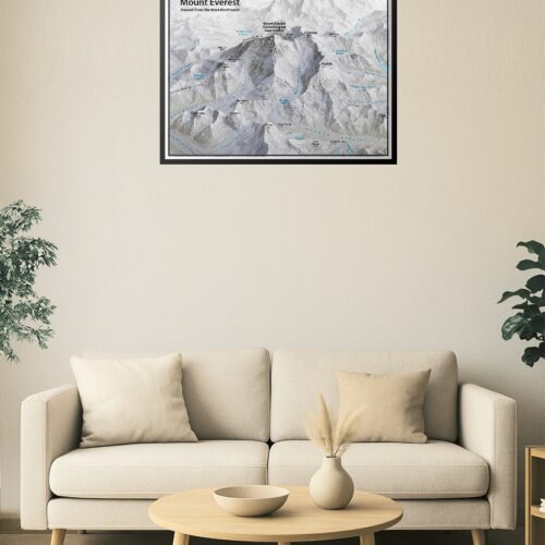 Mount Everest 3D Relief Map – West-Northwest Aerial View map poster with topographic map character, ideal for offices, classrooms, libraries, studies and.
 -
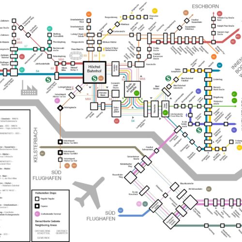 Nahverkehrsplan Frankfurt-West Bezirk District 2022 Map map poster with general map character, ideal for offices, classrooms, libraries, studies and.
 -
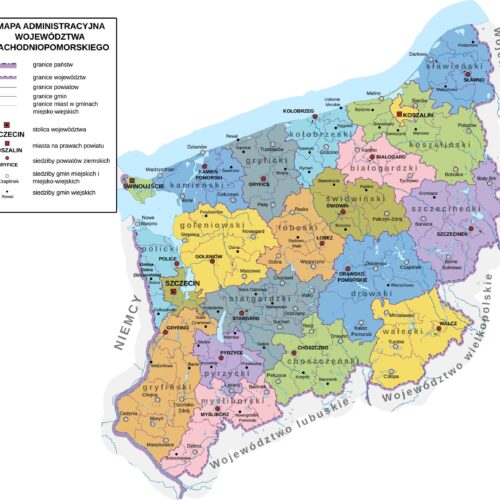 West Pomeranian Voivodeship administrative map. map poster with political map character, ideal for offices, classrooms, libraries, studies and.
 -
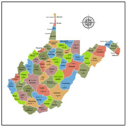 West Virginia County Map map poster with county map character, ideal for offices, classrooms, libraries, studies and travel-inspired wall decor.
 -
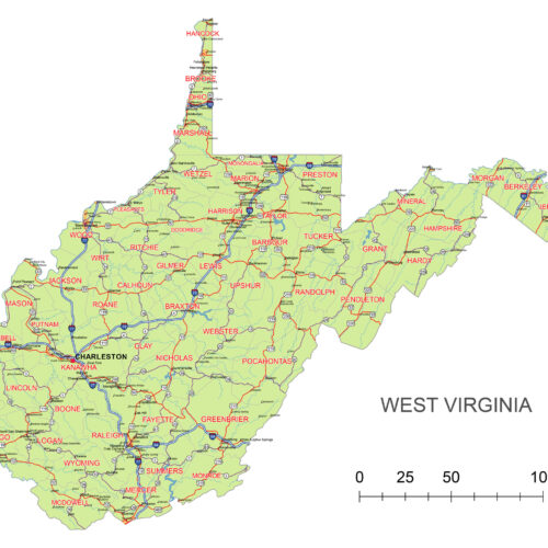 West Virginia Map with interstates map poster with general map character, ideal for offices, classrooms, libraries, studies and travel-inspired wall decor.
 -
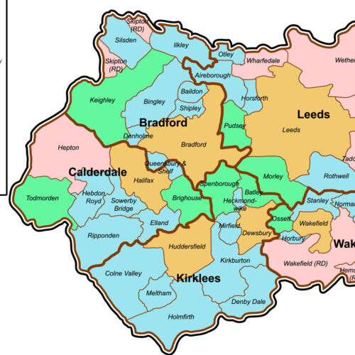 West Yorkshire County Map. Great Britain map poster with county map character, ideal for offices, classrooms, libraries, studies and travel-inspired wall.
Enjoy FREE U.S. Shipping on All Orders – No Minimum!