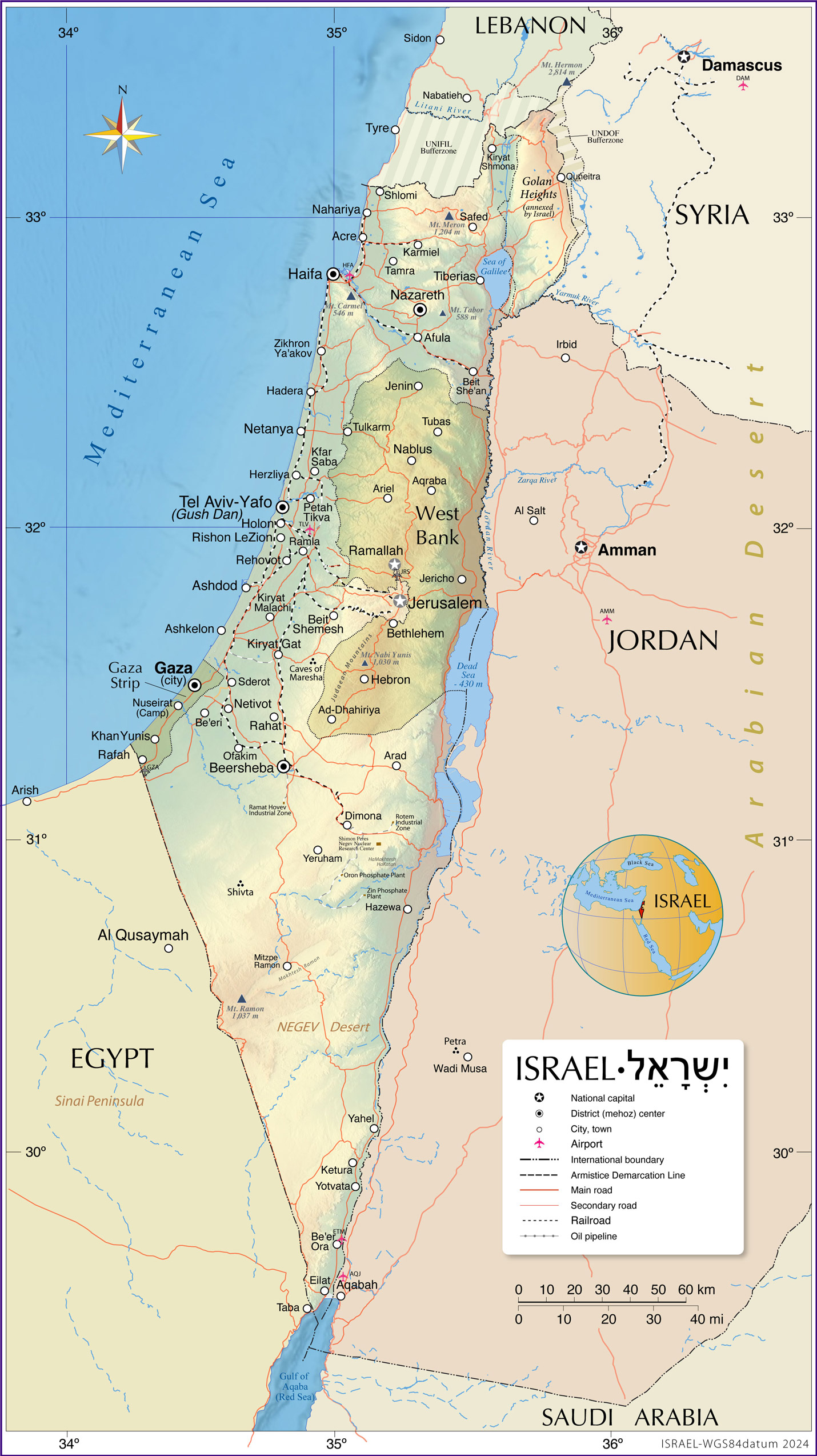
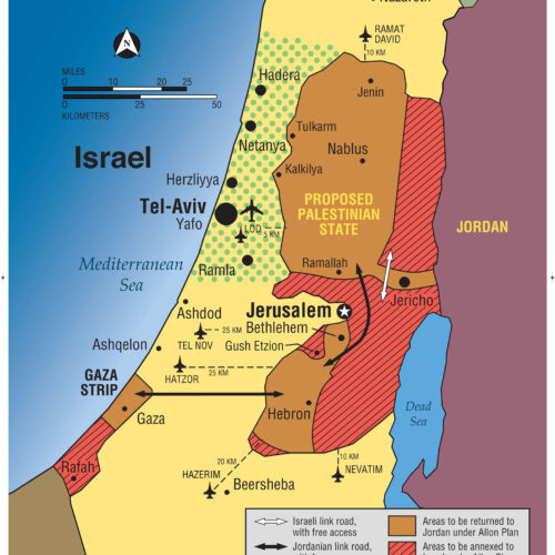
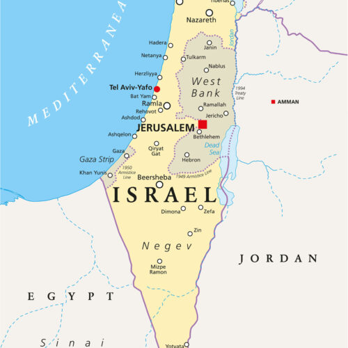
Map of Israel and Surrounding Regions Including West Bank, Gaza Strip, Golan Heights & Neighboring Countries Poster
| Weight | 6 oz |
|---|---|
| Dimensions | 20 × 2 × 2 in |
| Finishing Options | |
| Brand Name | |
| Size (inches) |
Map of Israel and Surrounding Regions Including West Bank, Gaza Strip, Golan Heights & Neighboring Countries Poster
Map of Israel and Surrounding Regions Including West Bank, Gaza Strip, Golan Heights & Neighboring Countries Poster features a carefully selected political map design for collectors, travelers, students and map lovers. The artwork highlights Map of Israel and Surrounding Regions Including West Bank with a clean presentation that works well in offices, classrooms, libraries, studies and gallery walls. This map print is a strong choice for educational decor, geography-inspired interiors or anyone who enjoys detailed cartographic wall art. Choose from the available size and finish options shown on this page. Frame not included.
Map of Israel and Surrounding Regions Including West Bank map poster with political map character, ideal for offices, classrooms, libraries, studies and.
How to Choose the Right Finish for Your Map
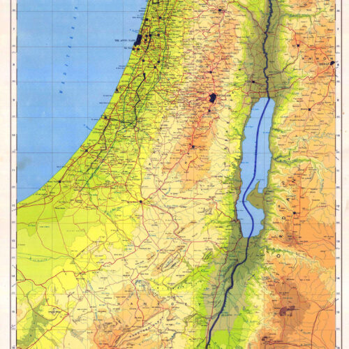
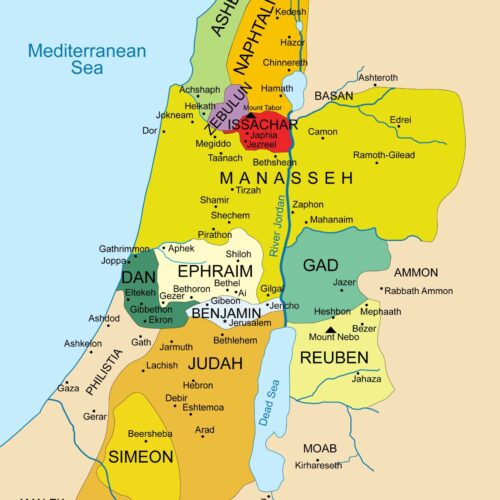
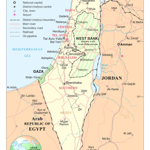
similar maps
Reviews
There are no reviews yet.