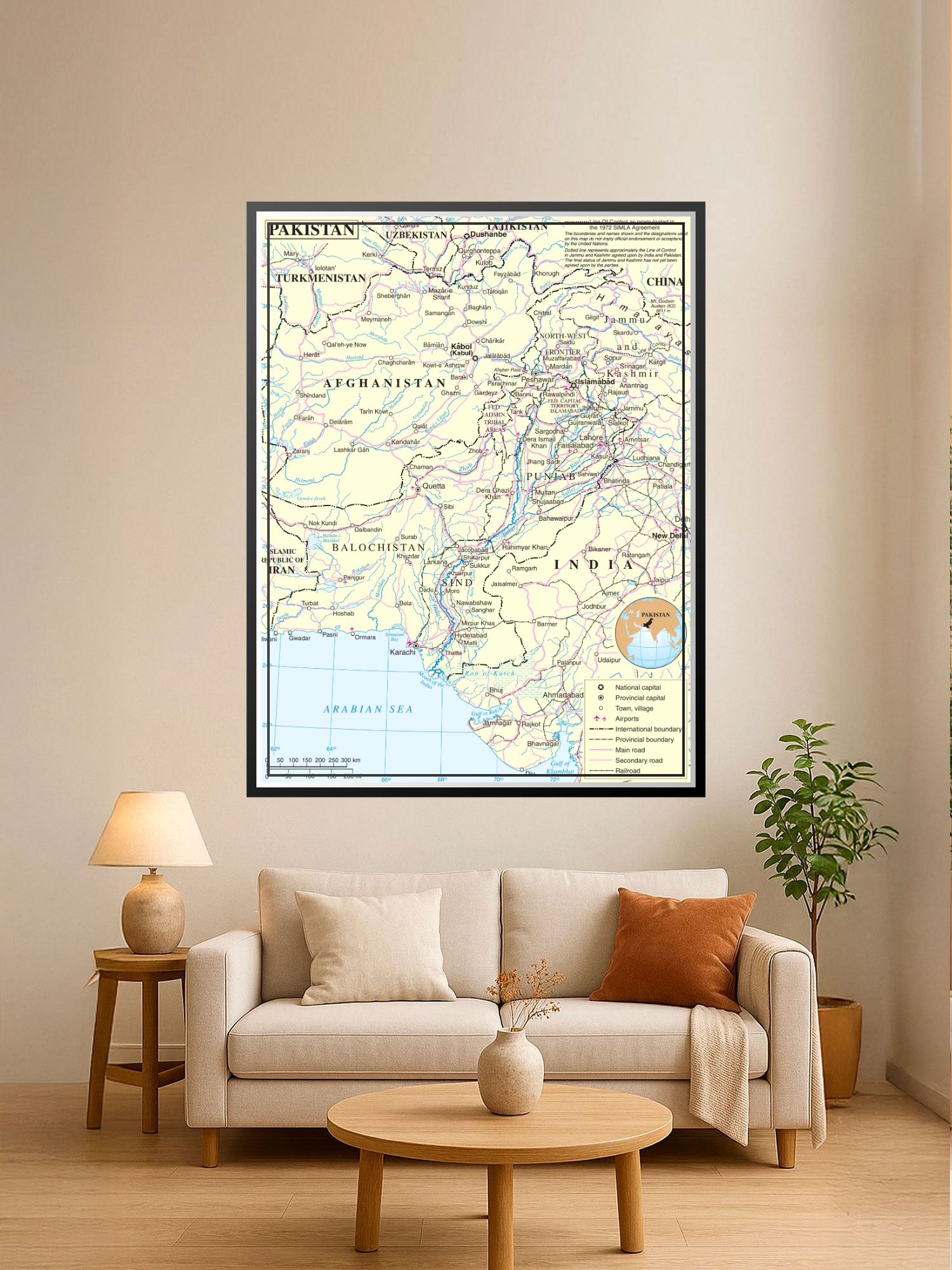
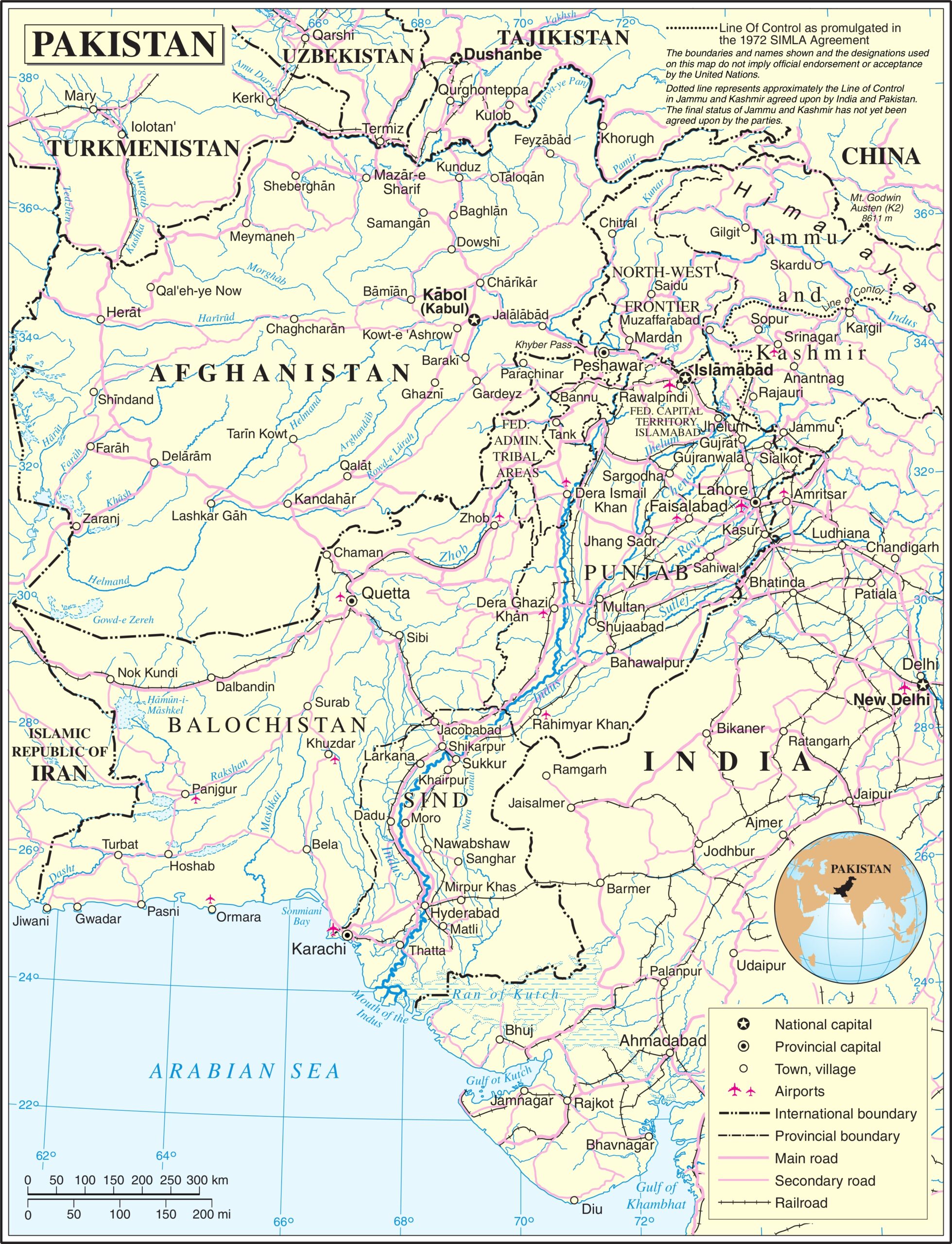
Political Map of Pakistan Poster – Geographic Reference Wall Maps

| Weight | 8 oz |
|---|---|
| Dimensions | 26 × 2 × 2 in |
| Size (inches) | |
| Finishing Options |
Political Map of Pakistan Poster – Geographic Reference Wall Maps
This detailed political map of Pakistan showcases international borders, provincial boundaries, major cities, and geographic features with cartographic precision. The cream and pastel color palette creates a sophisticated, educational aesthetic that works beautifully in home offices, classrooms, libraries, and travel-themed spaces. Perfect for geography enthusiasts, students, educators, and anyone with a connection to South Asia, this map combines informative detail with gallery-worthy presentation. The scale, legend, and clear labeling of regions including Balochistan, Sindh, Punjab, and Khyber Pakhtunkhwa make it both a functional reference and a striking decorative piece. Printed on archival-grade paper with fade-resistant inks, ready to frame and display.
Available Finishes
- A classic, high-quality poster print with crisp detail and solid color.
- Ideal for everyday wall art, dorms, offices, and framing behind glass.
- Great choice when you want a traditional poster look at a good value.
- Sealed with a protective laminate layer for added strength and wipe-clean protection.
- Resists moisture, fingerprints, and scuffs.
- Great for high-traffic areas, classrooms, shops, and break rooms.
- Professional matte-coated paper with a smooth, refined texture.
- Reduces glare while maintaining rich, accurate color tones.
- Perfect for text-heavy designs, illustrations, and minimalist art.
How to Choose the Right Finish for Your Map

Reviews
There are no reviews yet.