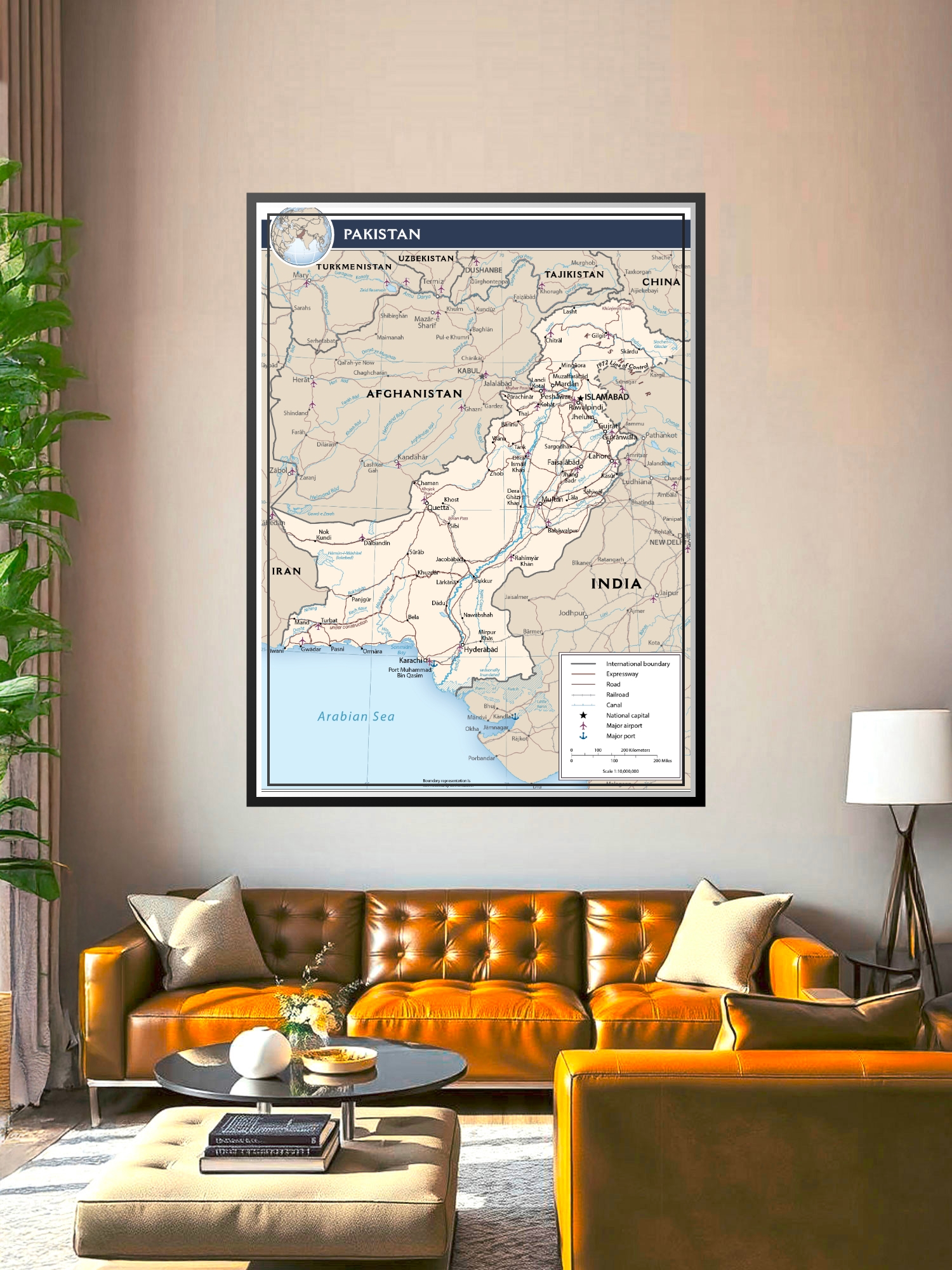
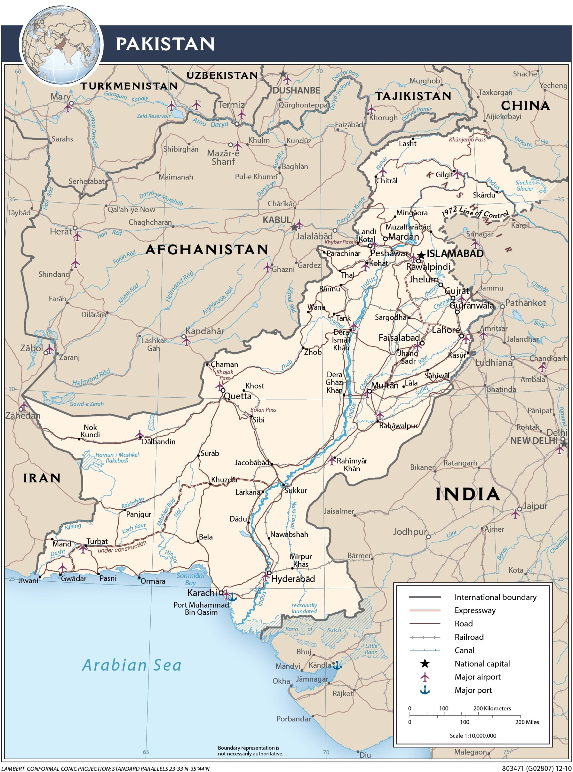
Political Map of Pakistan Poster – Detailed Geography & Travel Guide

| Weight | 8 oz |
|---|---|
| Dimensions | 26 × 2 × 2 in |
| Size (inches) | |
| Finishing Options |
Political Map of Pakistan Poster – Detailed Geography & Travel Guide
Explore the geography and political boundaries of Pakistan with this detailed cartographic wall art. Featuring clearly marked international borders, major cities including Islamabad, Karachi, and Lahore, and essential infrastructure like highways, railways, and airports, this map serves as both an educational resource and striking visual reference. The cream and blue color palette with precise line work makes geographic details easy to read while maintaining aesthetic appeal. Ideal for classrooms, home offices, study rooms, and travel enthusiasts planning trips through South Asia. A thoughtful gift for geography teachers, travelers, business professionals, and anyone with a passion for world maps and regional knowledge.
Available Finishes
- A classic, high-quality poster print with crisp detail and solid color.
- Ideal for everyday wall art, dorms, offices, and framing behind glass.
- Great choice when you want a traditional poster look at a good value.
- Sealed with a protective laminate layer for added strength and wipe-clean protection.
- Resists moisture, fingerprints, and scuffs.
- Great for high-traffic areas, classrooms, shops, and break rooms.
- Professional matte-coated paper with a smooth, refined texture.
- Reduces glare while maintaining rich, accurate color tones.
- Perfect for text-heavy designs, illustrations, and minimalist art.
How to Choose the Right Finish for Your Map

Reviews
There are no reviews yet.