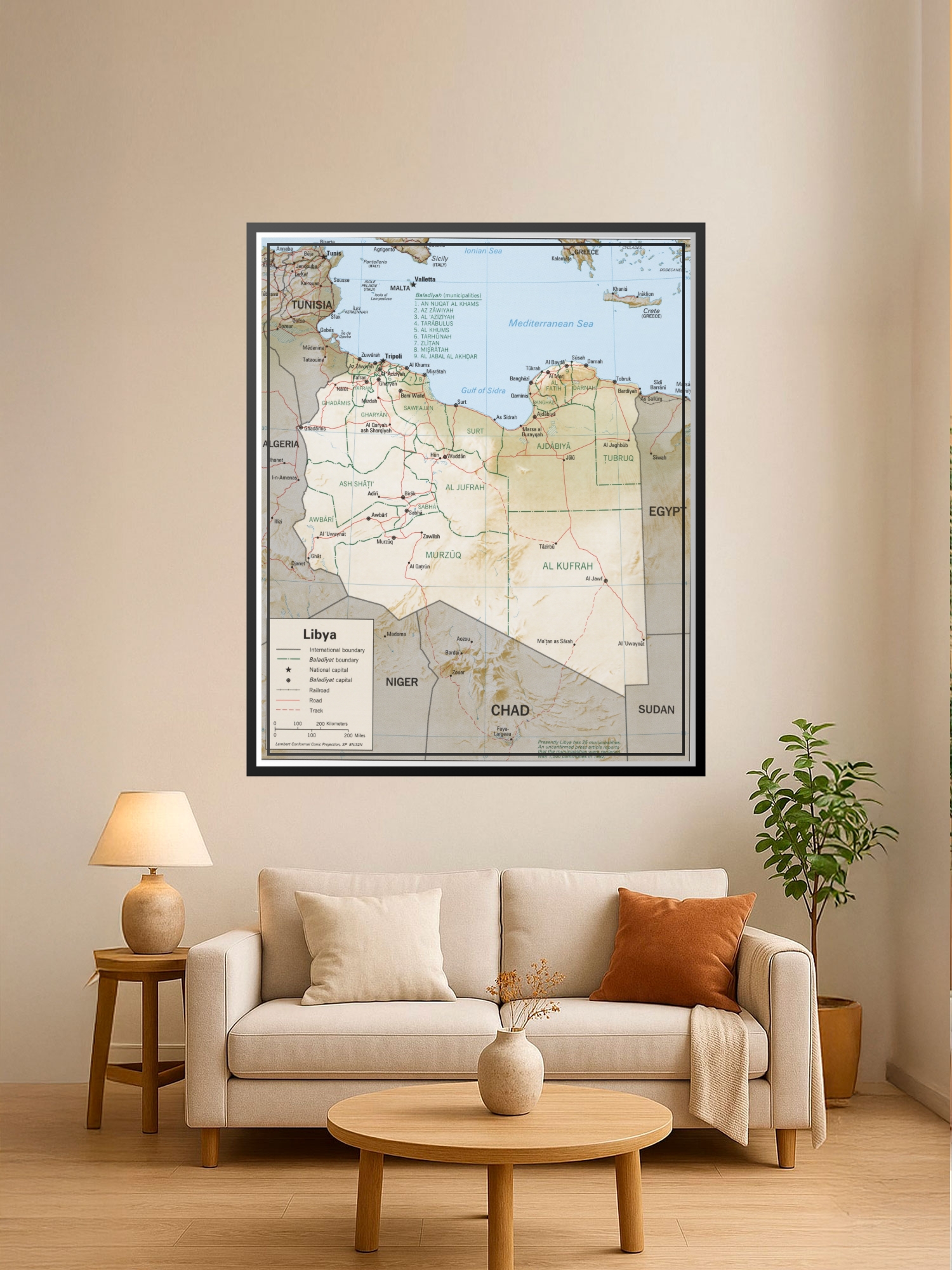
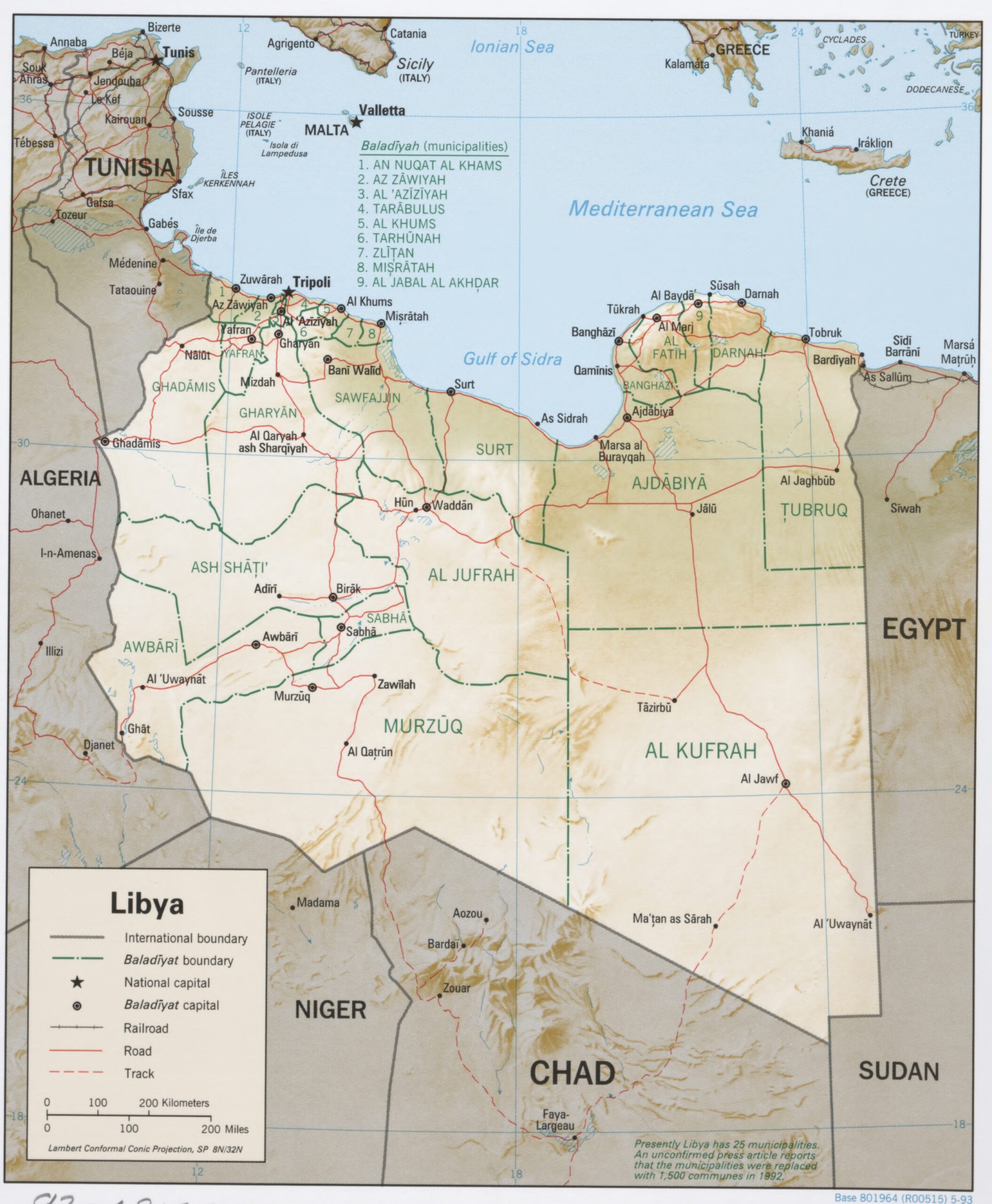
Political Map of Libya Poster – Geographic Reference Wall Art | Educational Decor

| Weight | 8 oz |
|---|---|
| Dimensions | 26 × 2 × 2 in |
| Size (inches) | |
| Finishing Options |
Political Map of Libya Poster – Geographic Reference Wall Art | Educational Decor
This detailed political map of Libya showcases the nation’s administrative boundaries, major cities, and geographic relationships with neighboring countries across North Africa and the Mediterranean. The map features clear demarcation of international borders, Baladiyah (municipal) divisions, and key infrastructure including roads, tracks, and railroads, rendered in classic cartographic style with warm earth tones and blue water features. Perfect for classrooms, home offices, study spaces, and travel enthusiasts who appreciate geographic precision and educational wall decor. An ideal gift for students, educators, geography buffs, and anyone planning travel to North Africa. Printed on archival-grade paper with excellent clarity and detail retention, ready to frame and display.
Available Finishes
- A classic, high-quality poster print with crisp detail and solid color.
- Ideal for everyday wall art, dorms, offices, and framing behind glass.
- Great choice when you want a traditional poster look at a good value.
- Sealed with a protective laminate layer for added strength and wipe-clean protection.
- Resists moisture, fingerprints, and scuffs.
- Great for high-traffic areas, classrooms, shops, and break rooms.
How to Choose the Right Finish for Your Map

Reviews
There are no reviews yet.