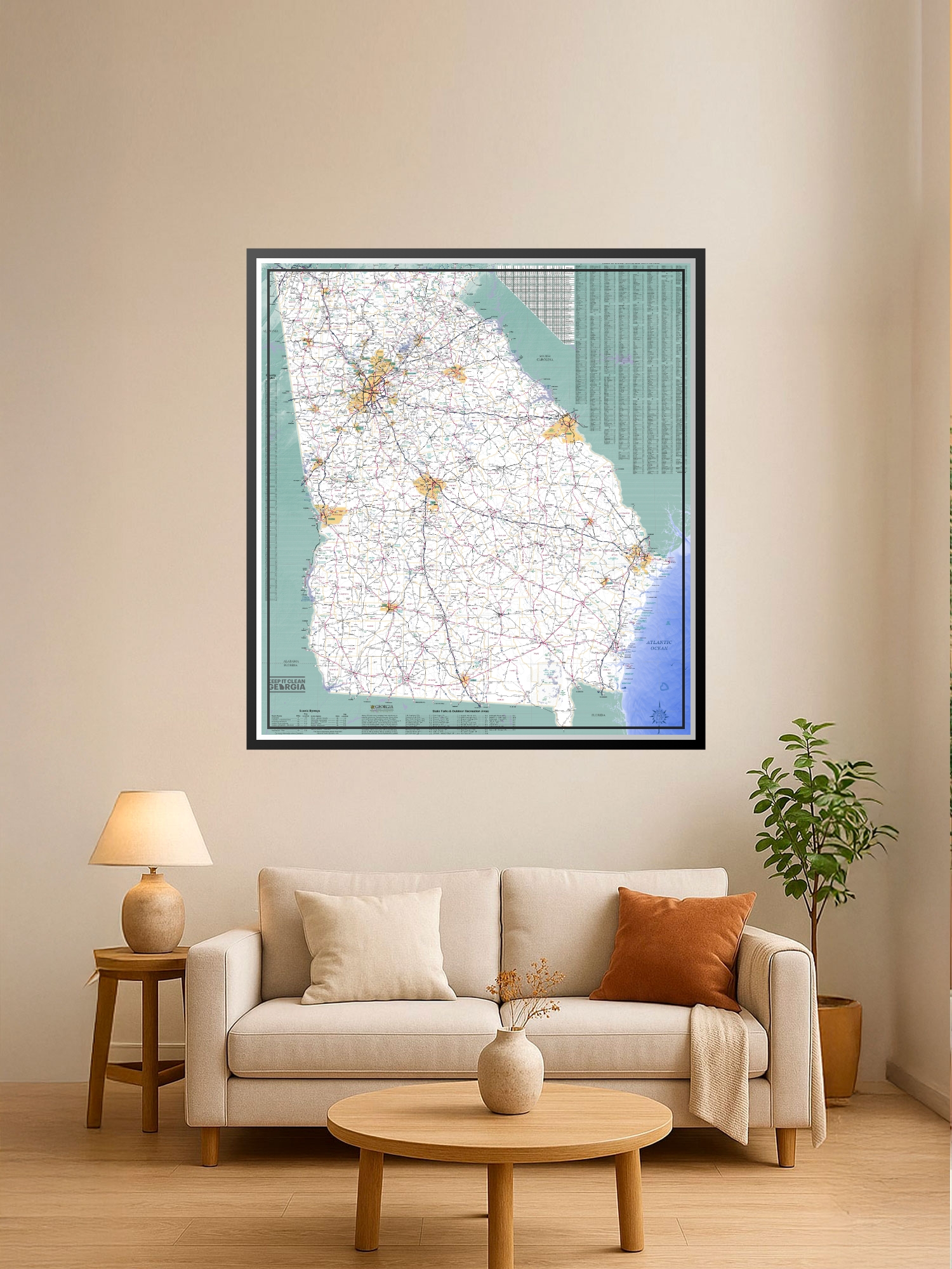
Hwy and Transportation Map of Georgia Poster – All 159 Counties & Complete Coverage | Educational Wall Art

| Weight | 8 oz |
|---|---|
| Dimensions | 26 × 2 × 2 in |
| Size (inches) | |
| Finishing Options |
Hwy and Transportation Map of Georgia Poster – All 159 Counties & Complete Coverage | Educational Wall Art
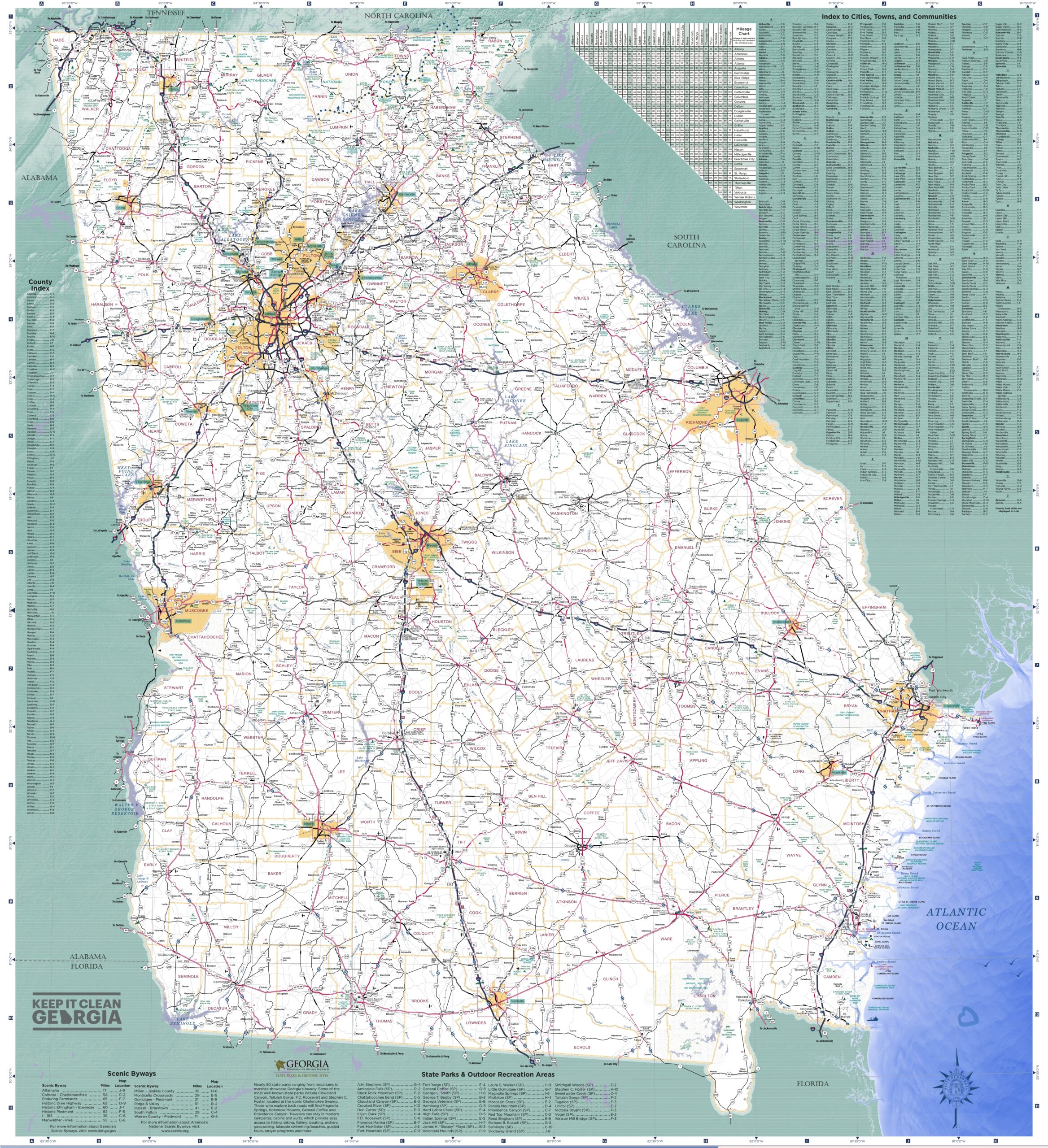
Explore Georgia in precise geographic detail with this comprehensive political map displaying all 159 counties in their exact locations. This authoritative road map captures the entire state from the Atlantic coastline—including Savannah, Brunswick, and Cumberland Island—down to the deep southern borders meeting Florida and Alabama. Perfect for classrooms, offices, travel planning, or anyone who loves detailed cartography. The included Index to Cities, Towns, and Communities provides quick reference for every major location.
Please Note: This is a high-density reference map featuring an immense amount of geographic detail, full city indexes. To fit this much information onto a single print, some of the text labels are incredibly small and may require a magnifying glass to read comfortably.
Available Finishes
- A classic, high-quality poster print with crisp detail and solid color.
- Ideal for everyday wall art, dorms, offices, and framing behind glass.
- Great choice when you want a traditional poster look at a good value.
- Sealed with a protective laminate layer for added strength and wipe-clean protection.
- Resists moisture, fingerprints, and scuffs.
- Great for high-traffic areas, classrooms, shops, and break rooms.
How to Choose the Right Finish for Your Map


Reviews
There are no reviews yet.