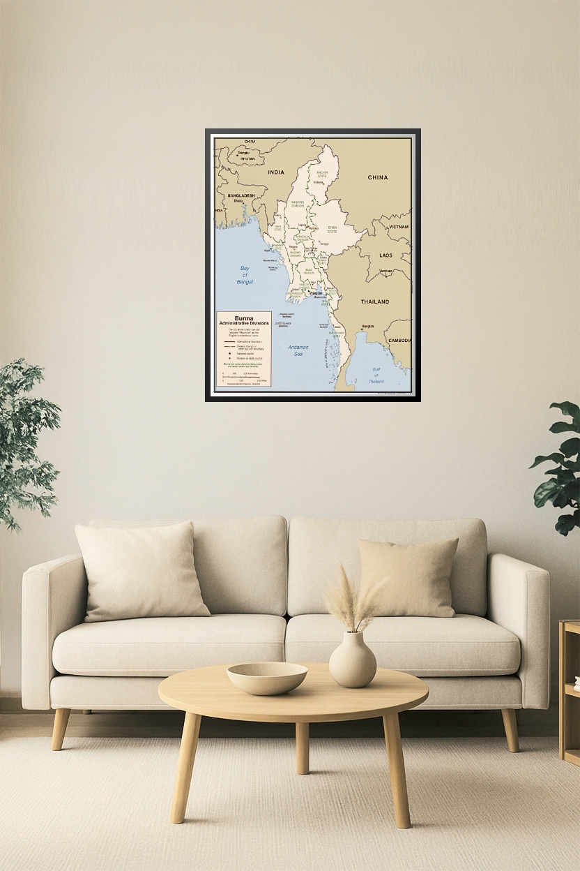
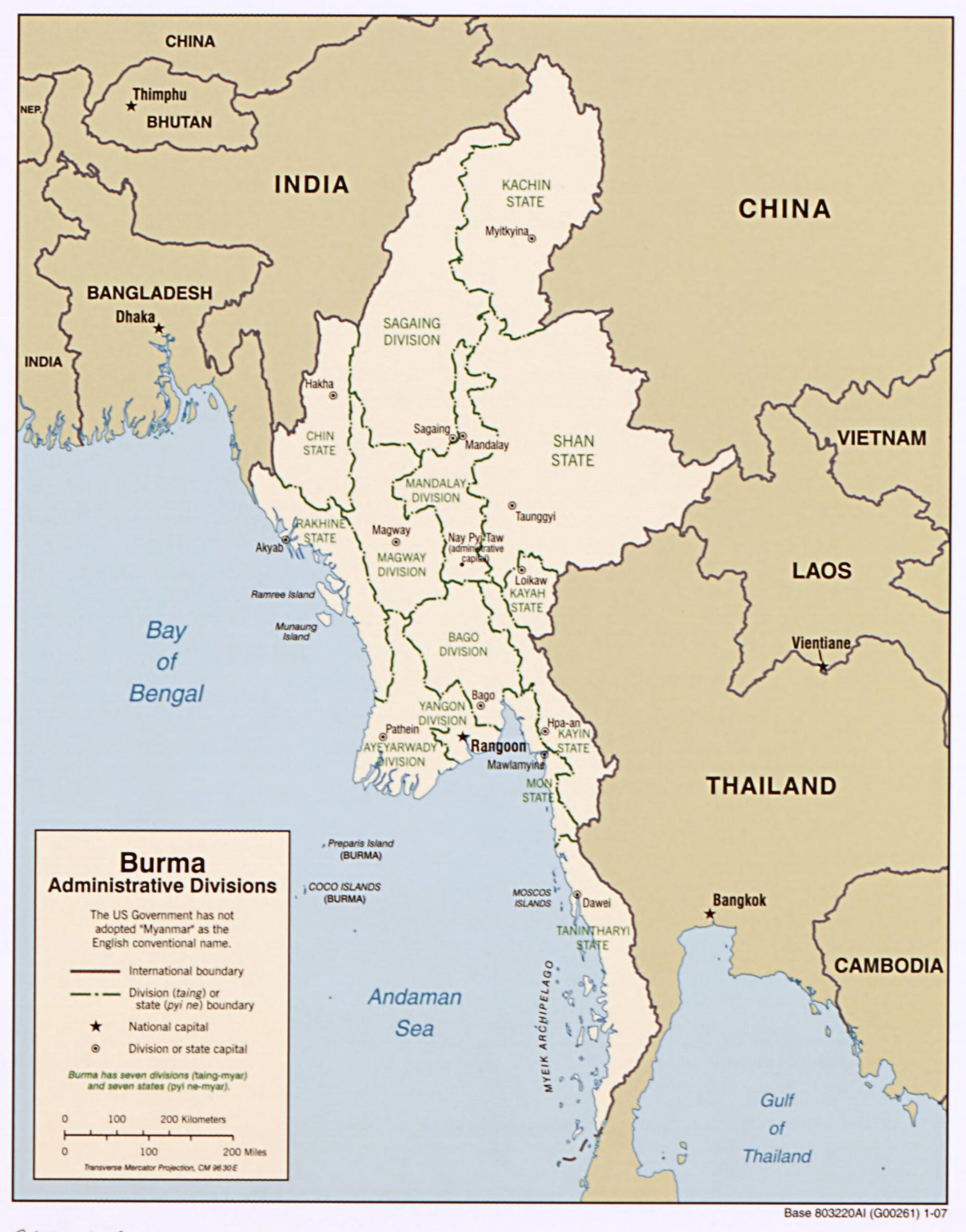

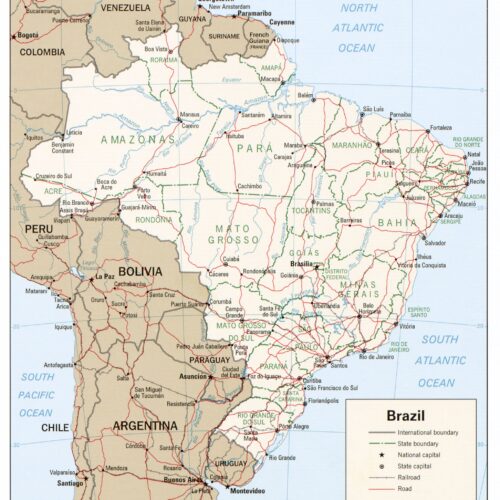
Burma (Myanmar) Administrative Divisions Map – Political Geography with States & Capitals
This detailed political map of Burma (Myanmar) showcases administrative divisions including states and divisions such as Yangon, Mandalay, Kachin, Shan, and more. Featuring clear boundary lines, major cities, and neighboring countries, it’s perfect for educational use, political reference, or travel planning.


Reviews
There are no reviews yet.