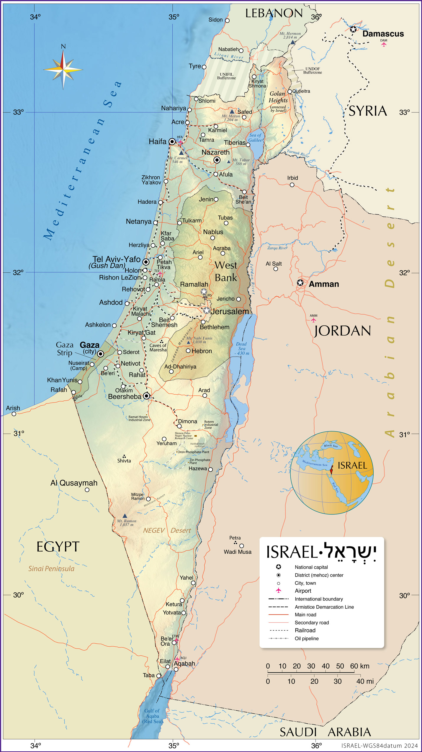
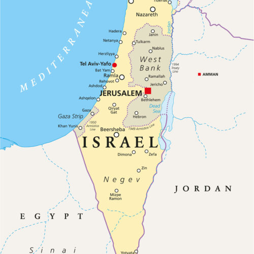
24″x43″ Map of Israel and Surrounding Regions Including West Bank, Gaza Strip, Golan Heights & Neighboring Countries
| Weight | 6 oz |
|---|---|
| Dimensions | 20 × 2 × 2 in |
| Finishing Options | |
| Brand Name |
24″x43″ Map of Israel and Surrounding Regions Including West Bank, Gaza Strip, Golan Heights & Neighboring Countries
Perfect for classrooms, students, or homeschoolers learning about Middle Eastern geography, politics, or history. It clearly shows territorial boundaries and key cities. Great for anyone studying or teaching about the Israeli-Palestinian conflict, regional disputes, or modern borders. It includes sensitive and significant areas like the West Bank, Gaza Strip, East Jerusalem, and Golan Heights.
How to Choose the Right Finish for Your Map
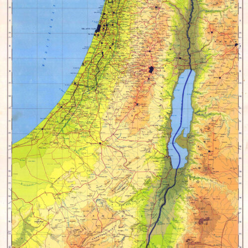
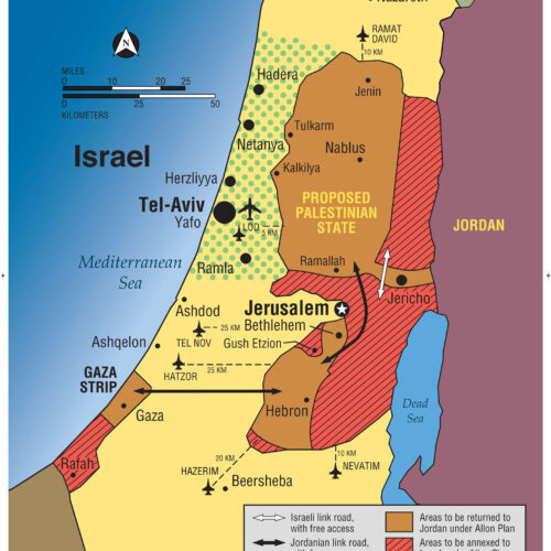
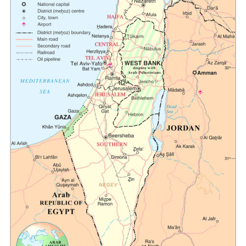
similar maps
Reviews
There are no reviews yet.