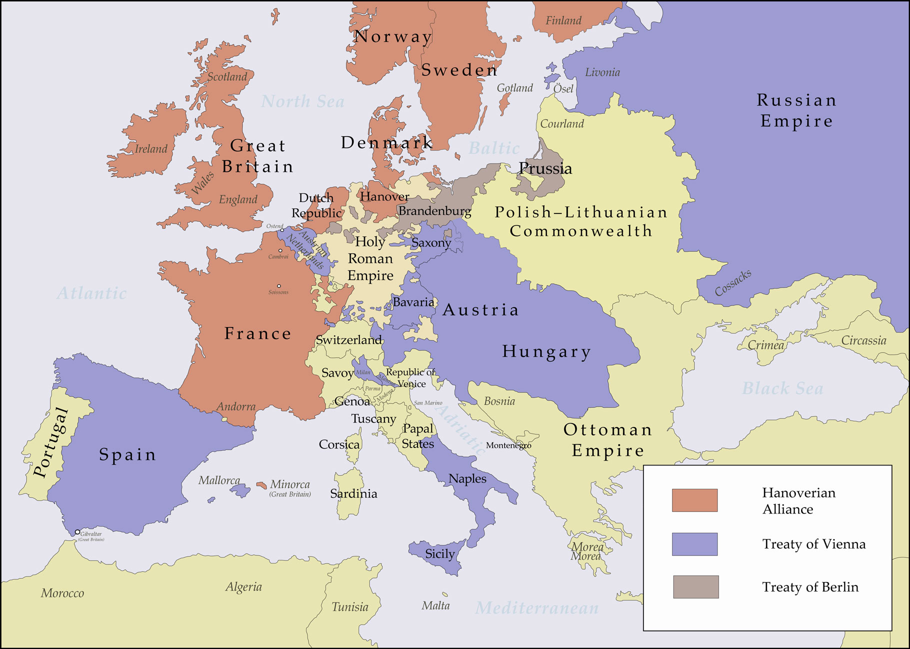
Alliances in Europe Austria 1725-1730 Map Poster
| Weight | 6 oz |
|---|---|
| Dimensions | 26 × 2 × 2 in |
| Finishing Options | |
| Brand Name | |
| Size (inches) |
Alliances in Europe Austria 1725-1730 Map Poster
Alliances in Europe Austria 1725-1730 Map Poster features a carefully selected historical map design for collectors, travelers, students and map lovers. The artwork highlights Alliances in Europe Austria 1725-1730 Map with a clean presentation that works well in offices, classrooms, libraries, studies and gallery walls. This map print is a strong choice for educational decor, geography-inspired interiors or anyone who enjoys detailed cartographic wall art. Choose from the available size and finish options shown on this page. Frame not included.
Alliances in Europe Austria 1725-1730 Map map poster with historical map character, ideal for offices, classrooms, libraries, studies and travel-inspired.
How to Choose the Right Finish for Your Map

Reviews
There are no reviews yet.