-
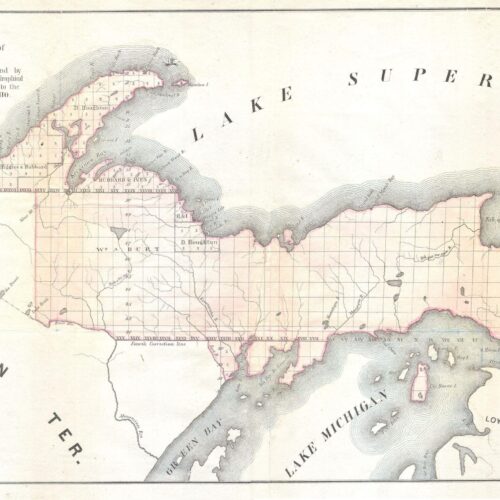 1849 Land Survey Map of Michigan Upper Peninsula map poster with historical map character, ideal for offices, classrooms, libraries, studies and.
 -
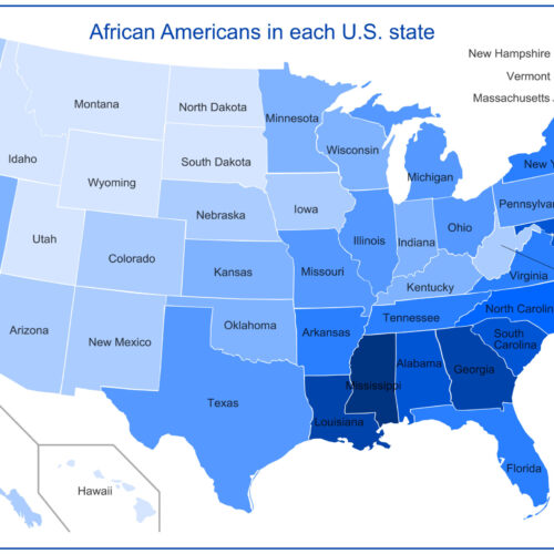 African Americans in each U.S. state in 2010 Map map poster with general map character, ideal for offices, classrooms, libraries, studies and.
 -
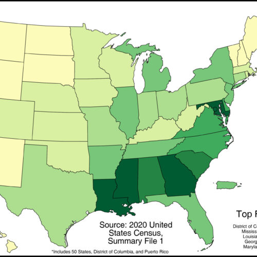 African Americans Population Map in each U.S. state. 2022 map poster with thematic map character, ideal for offices, classrooms, libraries, studies and.
 -
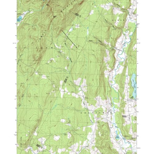 Albany Quadrangle Vermont topographic map map poster with topographic map character, ideal for offices, classrooms, libraries, studies and travel-inspired.
 -
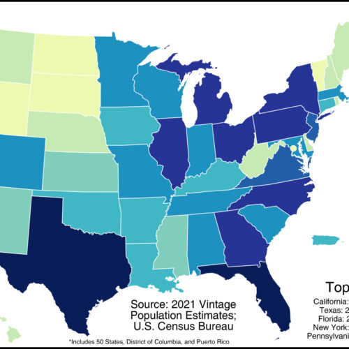
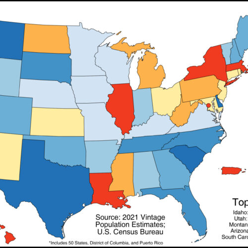 Annual Population Growth Rate by U.S. State 2021 Map map poster with thematic map character, ideal for offices, classrooms, libraries, studies and.
 -
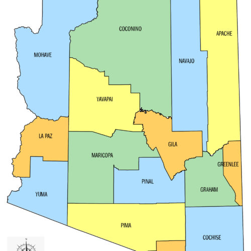 Arizona County Map map poster with state map character, ideal for offices, classrooms, libraries, studies and travel-inspired wall decor.
 -
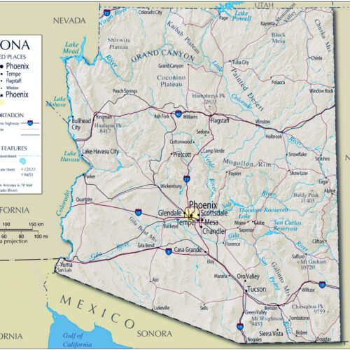 Arizona detailed map of with boundaries map poster with political map character, ideal for offices, classrooms, libraries, studies and travel-inspired wall.
 -
 Austin Map -Texas map poster with state map character, ideal for offices, classrooms, libraries, studies and travel-inspired wall decor.
 -
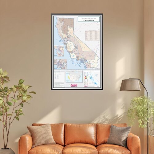
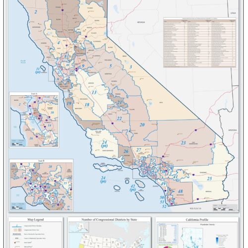 California Congressional District Map – 118th U.S. Congress map poster with state map character, ideal for offices, classrooms, libraries, studies and.
 -
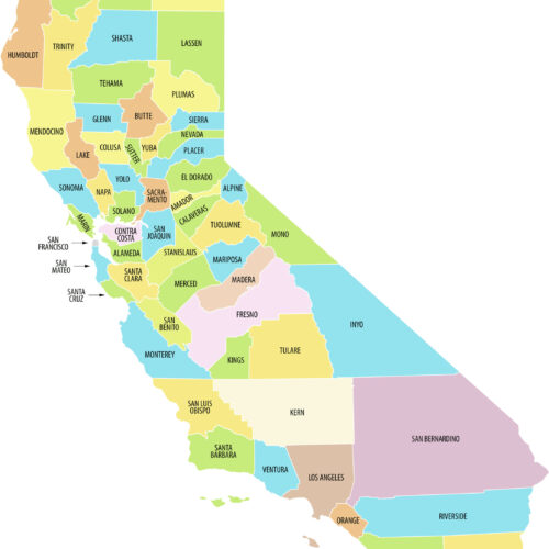 California County Map – labeled map poster with state map character, ideal for offices, classrooms, libraries, studies and travel-inspired wall decor.
 -
 California detailed map of with boundaries map poster with political map character, ideal for offices, classrooms, libraries, studies and travel-inspired.
 -
 California Map Area of Interest map poster with state map character, ideal for offices, classrooms, libraries, studies and travel-inspired wall decor.
 -
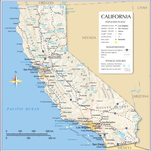
 California Road Map with Cities and Highways map poster with political map character, ideal for offices, classrooms, libraries, studies and travel-inspired.
 -
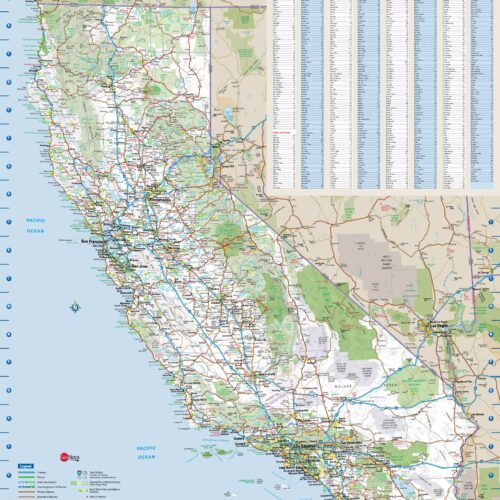
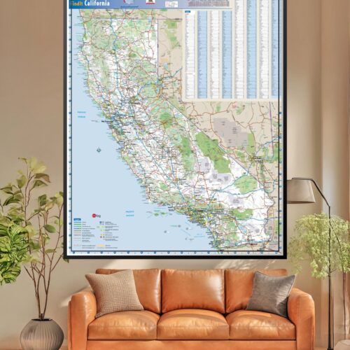 Cartographic California Road Map Cities and Towns map poster with political map character, ideal for offices, classrooms, libraries, studies and.
 -
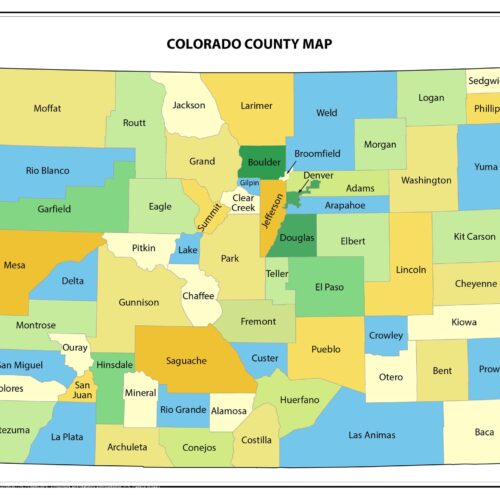 Colorado County Map map poster with state map character, ideal for offices, classrooms, libraries, studies and travel-inspired wall decor.
 -
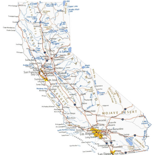
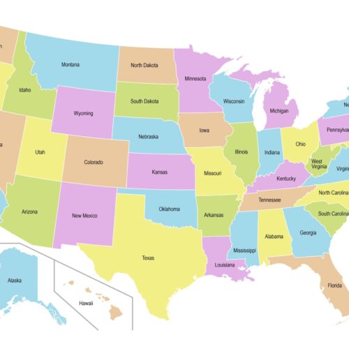 Colorful Map of the United States with State Names map poster with pictorial and fantasy map character, ideal for offices, classrooms, libraries, studies.
 -

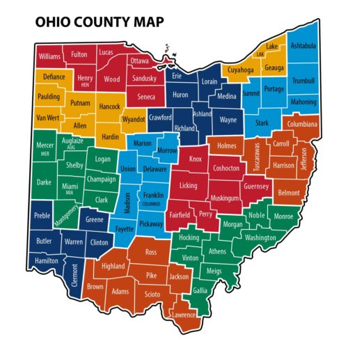 Colorful Ohio County Map – Political Counties map poster with political map character, ideal for offices, classrooms, libraries, studies and.
 -
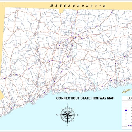 Connecticut Roadways Systems Hwy Map map poster with state map character, ideal for offices, classrooms, libraries, studies and travel-inspired wall decor.
 -
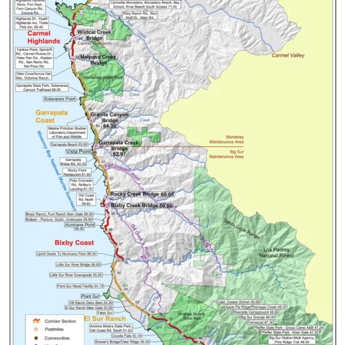
 Detailed Map of Southern California Coastline map poster with state map character, ideal for offices, classrooms, libraries, studies and travel-inspired.
 -
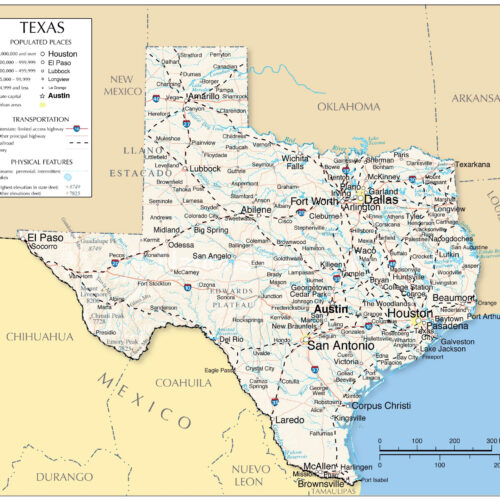 Detailed Map of Texas With Boundaries map poster with political map character, ideal for offices, classrooms, libraries, studies and travel-inspired wall.
 -
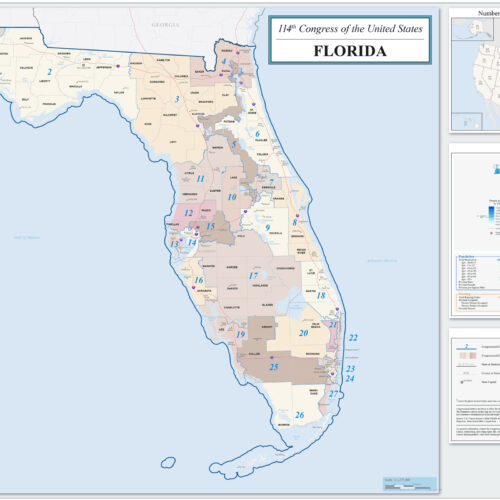 Florida Congressional District 114th Congress Map map poster with state map character, ideal for offices, classrooms, libraries, studies and.
 -
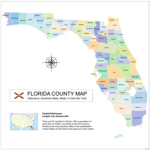 Florida Counties Map map poster with political map character, ideal for offices, classrooms, libraries, studies and travel-inspired wall decor.
 -
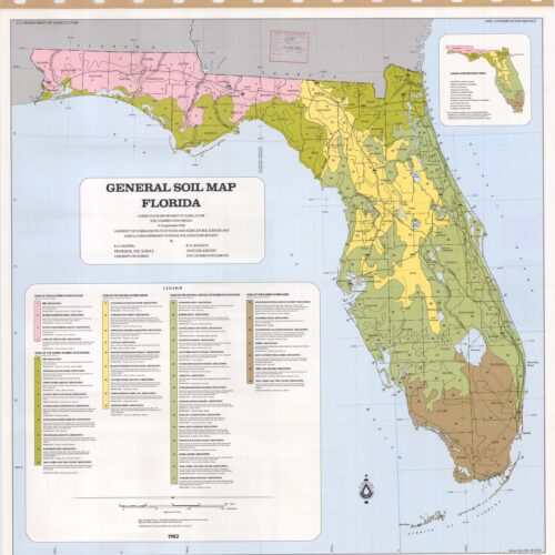 Florida General Soil Map map poster with state map character, ideal for offices, classrooms, libraries, studies and travel-inspired wall decor.
 -

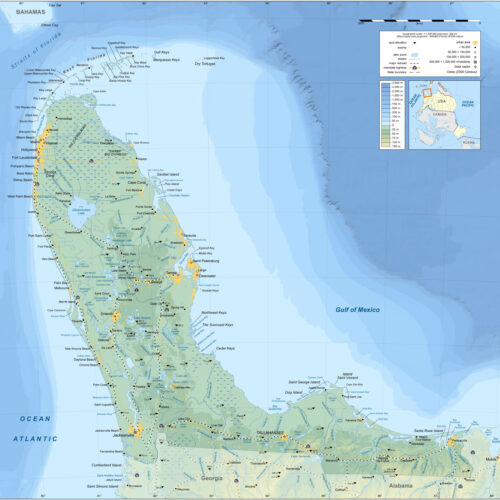
 Florida Physical Map map poster with physical map character, ideal for offices, classrooms, libraries, studies and travel-inspired wall decor.
 -
 Florida Topographic Map Upside Down map poster with topographic map character, ideal for offices, classrooms, libraries, studies and travel-inspired wall.
 -
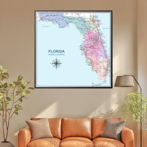
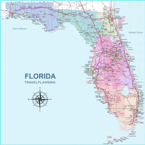 Florida Travel Planning Map – Cartographic Art Style map poster with travel and road map character, ideal for offices, classrooms, libraries, studies and.
 -
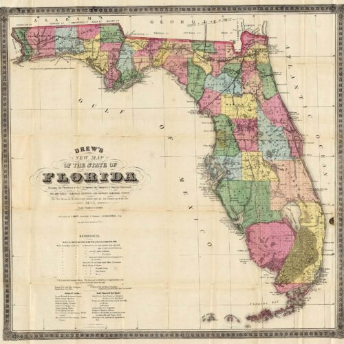 Florida Vintage Map 1870 map poster with historical map character, ideal for offices, classrooms, libraries, studies and travel-inspired wall decor.
 -
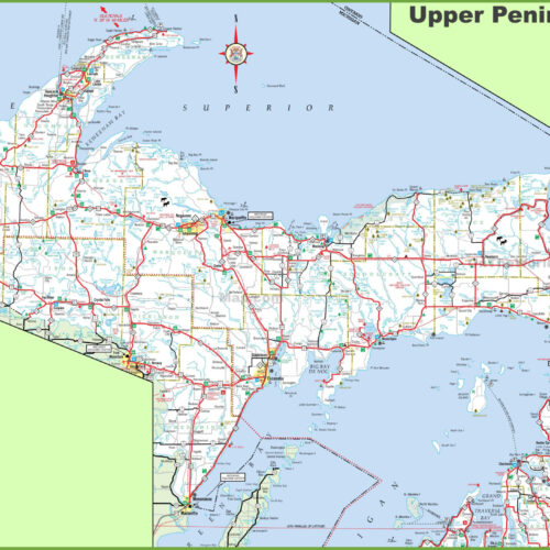
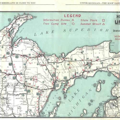 Highway Map of The Upper Peninsula of Michigan map poster with travel and road map character, ideal for offices, classrooms, libraries, studies and.
 -
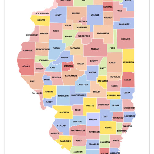 Illinois Counties Map map poster with political map character, ideal for offices, classrooms, libraries, studies and travel-inspired wall decor.
 -
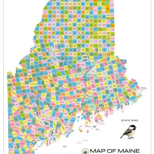
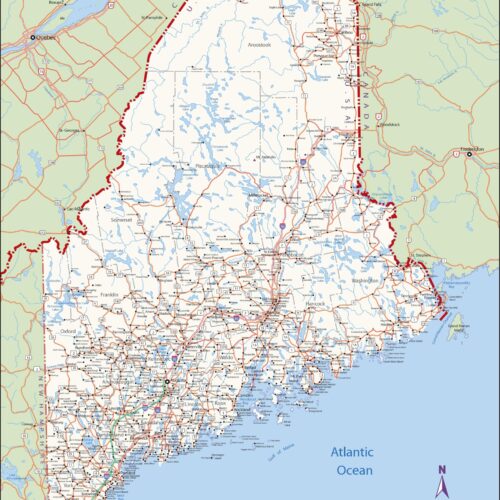 Large detailed map of Maine with cities and towns map poster with political map character, ideal for offices, classrooms, libraries, studies and.
 -
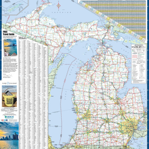 Large detailed map of Michigan with cities and towns map poster with political map character, ideal for offices, classrooms, libraries, studies and.
 -
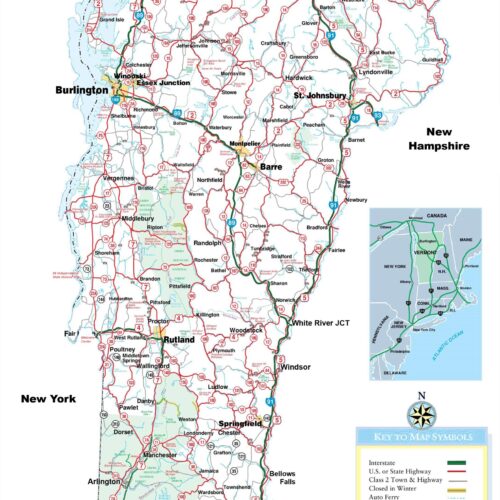 Large Detailed Tourist Map of Vermont with cities and towns map poster with political map character, ideal for offices, classrooms, libraries, studies and.
 -
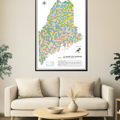
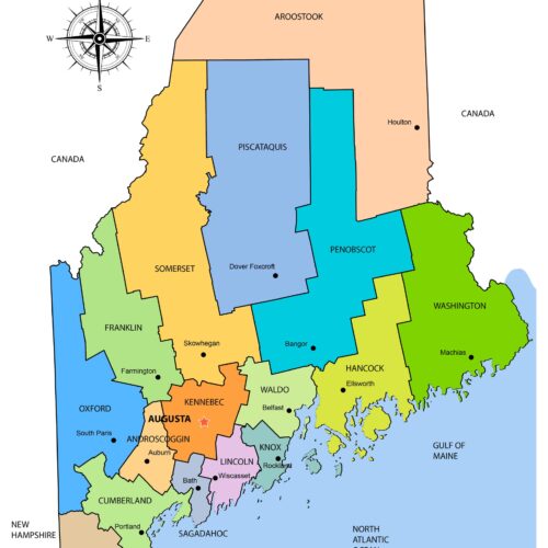 Maine County Map map poster with state map character, ideal for offices, classrooms, libraries, studies and travel-inspired wall decor.
 -
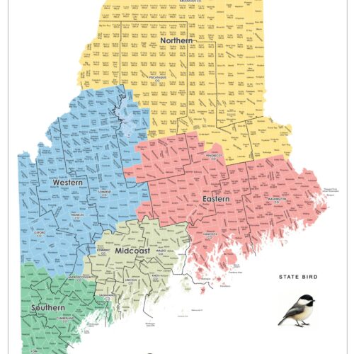
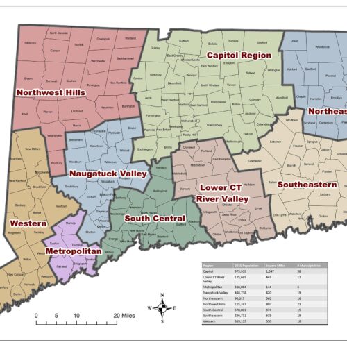
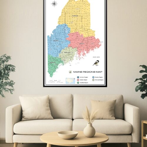 Maine Regions Map map poster with state map character, ideal for offices, classrooms, libraries, studies and travel-inspired wall decor.
 -
 Maine Towns and Plantations Color Map map poster with political map character, ideal for offices, classrooms, libraries, studies and travel-inspired wall.
 -
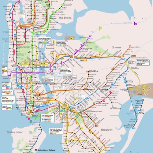 Map New York City subway metro underground tube plan with map poster with railroad and transit map character, ideal for offices, classrooms, libraries,.
 -
 Map of Connecticut with Counties and Towns map poster with political map character, ideal for offices, classrooms, libraries, studies and travel-inspired.
 -
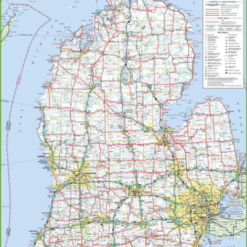 Map of lower peninsula of Michigan. United States of map poster with travel and road map character, ideal for offices, classrooms, libraries, studies and.
 -
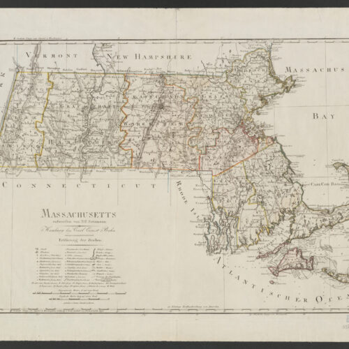 Map of Massachusetts ca. 1797 by D.F. Sotzmann produced for map poster with historical map character, ideal for offices, classrooms, libraries, studies and.
 -
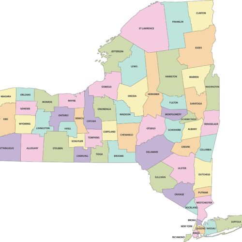 Map of New York Counties map poster with political map character, ideal for offices, classrooms, libraries, studies and travel-inspired wall decor.
 -
 Map of State of New Hampshire with Counties and Towns map poster with political map character, ideal for offices, classrooms, libraries, studies and.
 -
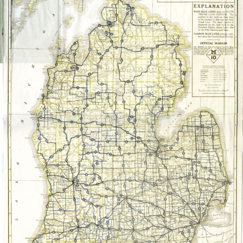 Map of the State Trunk Line System Lower Peninsula of map poster with historical map character, ideal for offices, classrooms, libraries, studies and.
 -
 Map of U.S. Population by State map poster with thematic map character, ideal for offices, classrooms, libraries, studies and travel-inspired wall decor.
 -
 Map of Upper Peninsula of Michigan map poster with state map character, ideal for offices, classrooms, libraries, studies and travel-inspired wall decor.
 -
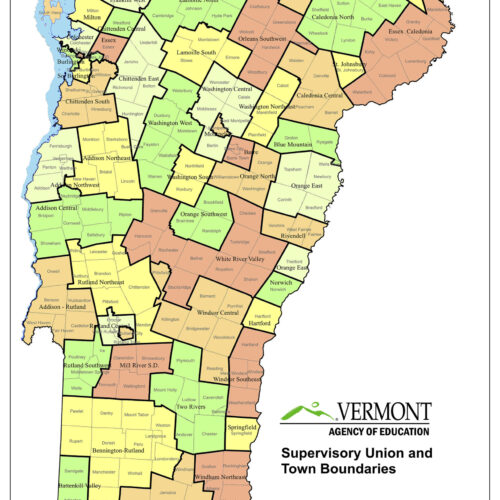 Map of Vermont School Union Districts Towns map poster with political map character, ideal for offices, classrooms, libraries, studies and travel-inspired.
 -
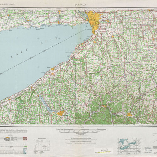 Map Route 382 – US Buffalo New York State -1948 Map map poster with historical map character, ideal for offices, classrooms, libraries, studies and.
 -
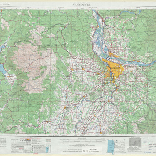 Map Washington State Route 503 US Vancouver-1967 map poster with travel and road map character, ideal for offices, classrooms, libraries, studies and.
 -
Sale!
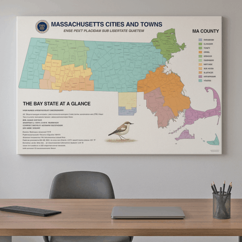
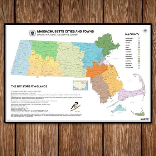 Massachusetts County Map with Cities map poster with political map character, ideal for offices, classrooms, libraries, studies and travel-inspired wall.
 -
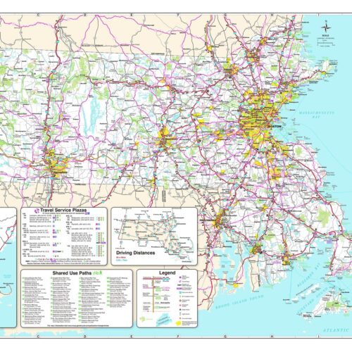 Massachusetts Detailed Transportation Map Expressway map poster with railroad and transit map character, ideal for offices, classrooms, libraries, studies.
 -
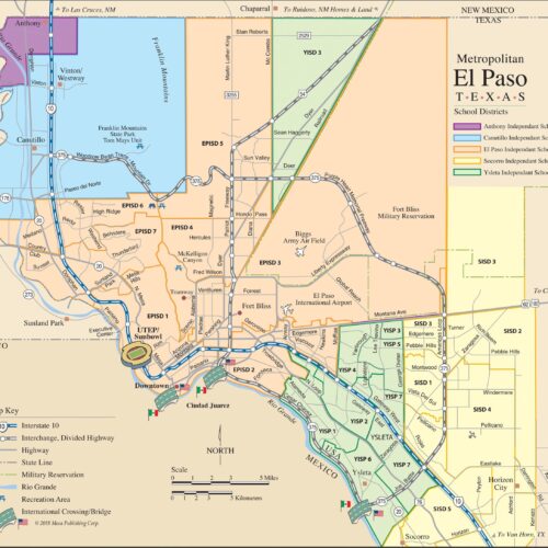 Metropolitan El Paso Texas School districts Map map poster with state map character, ideal for offices, classrooms, libraries, studies and travel-inspired.
Enjoy FREE U.S. Shipping on All Orders – No Minimum!
