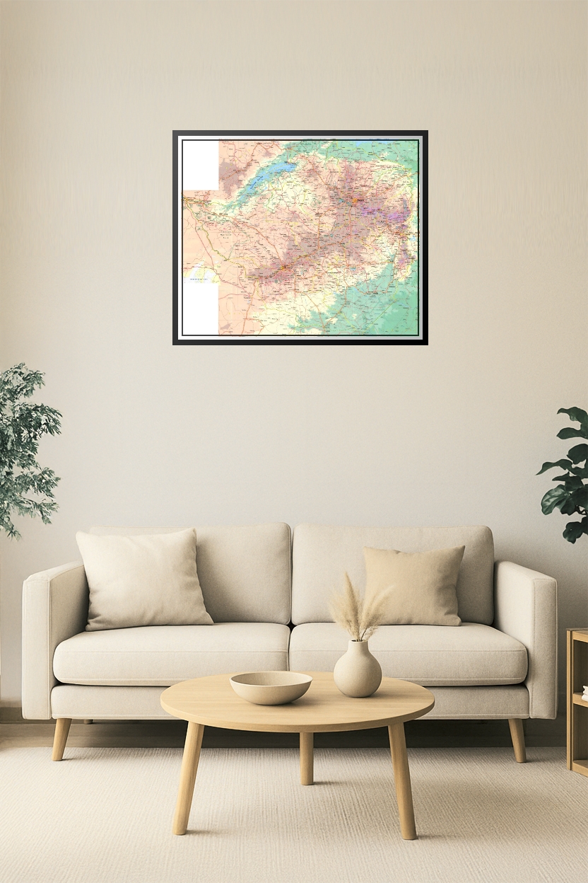
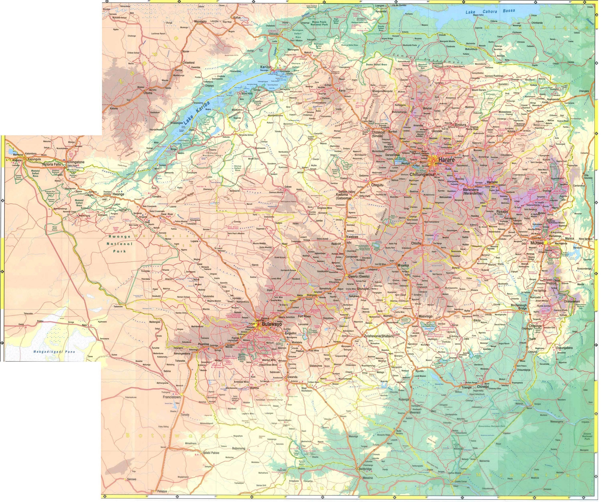
Zimbabwe Detailed Road & Terrain Map Poster – Cities, Parks & Borders
| Weight | 8 oz |
|---|---|
| Dimensions | 26 × 2 × 2 in |
| Size (inches) | |
| Finishing Options |
Zimbabwe Detailed Road & Terrain Map Poster – Cities, Parks & Borders
Navigate Zimbabwe with precision using this high-resolution topographic and road map poster. Featuring major cities like Harare, Bulawayo, Mutare, and Victoria Falls, along with highways, borders, national parks, and terrain shading, this comprehensive map is ideal for travelers, educators, researchers, or anyone interested in the geography of Southern Africa.
How to Choose the Right Finish for Your Map

Reviews
There are no reviews yet.