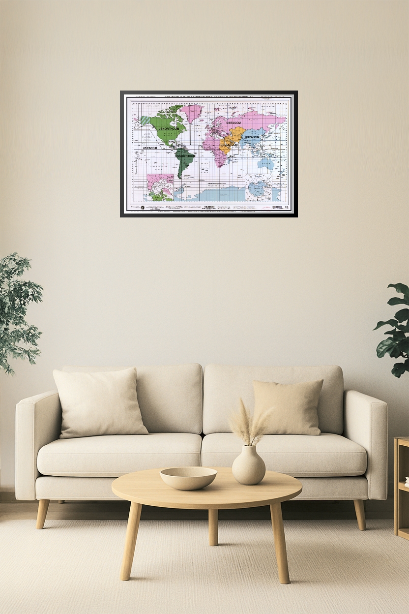
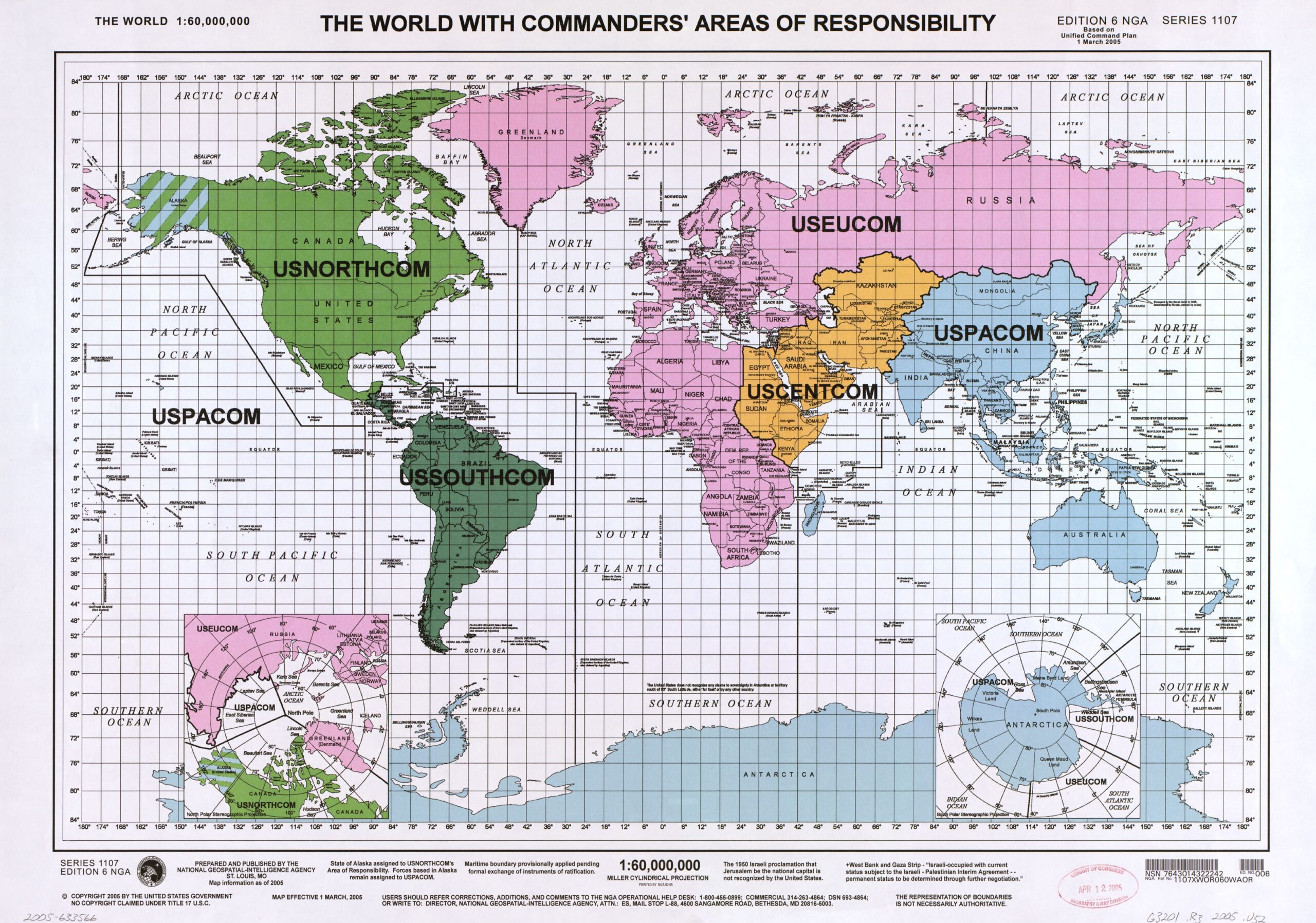
World Map – U.S. Combatant Command Areas of Responsibility (2005)

| Weight | 8 oz |
|---|---|
| Dimensions | 26 × 2 × 2 in |
| Size (inches) | |
| Finishing Options |
World Map – U.S. Combatant Command Areas of Responsibility (2005)
This detailed military reference map illustrates the United States Combatant Commands’ global areas of responsibility as of 2005. Highlighted zones include USNORTHCOM, USSOUTHCOM, USEUCOM, USCENTCOM, and USPACOM. Color-coded by geographic command with insets showing southern hemisphere polar regions, this map is ideal for educational, strategic, or military study purposes.
How to Choose the Right Finish for Your Map

Reviews
There are no reviews yet.