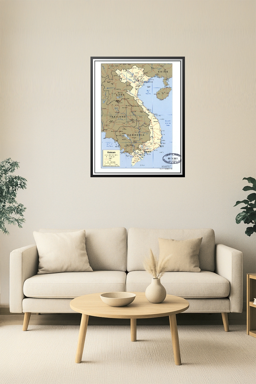
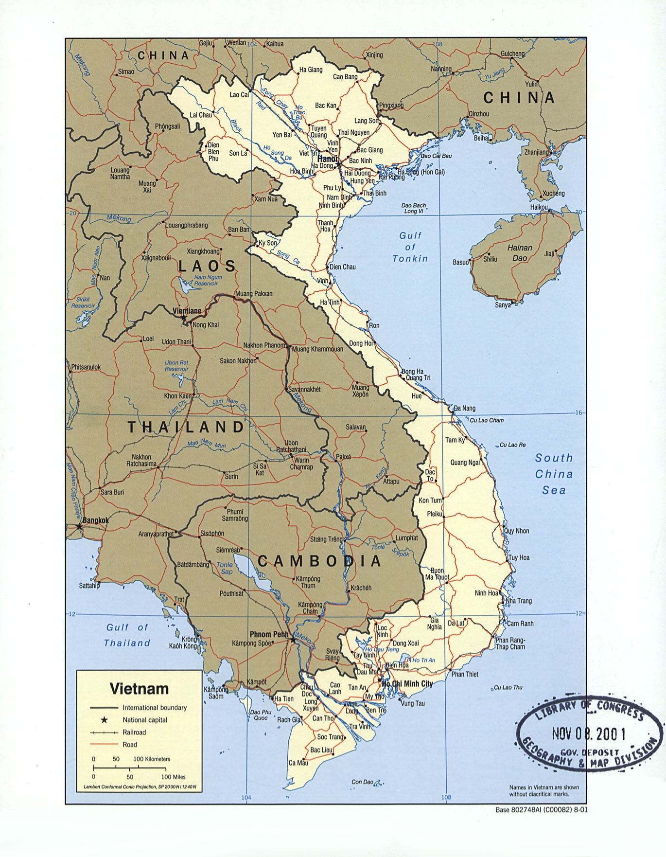

Vintage Vietnam & Southeast Asia Political Map Poster – Library of Congress Edition
Explore the geography and history of Southeast Asia with this detailed vintage-style political map poster of Vietnam and its neighboring countries. Originally published by the Library of Congress, this map features international boundaries, major cities, roads, railroads, and regional landmarks including the Gulf of Tonkin and South China Sea. A perfect decor piece for classrooms, offices, travel enthusiasts, or history buffs, this high-resolution print blends educational value with classic cartographic charm.


Reviews
There are no reviews yet.