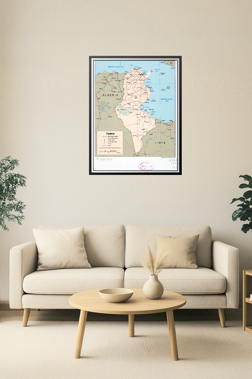
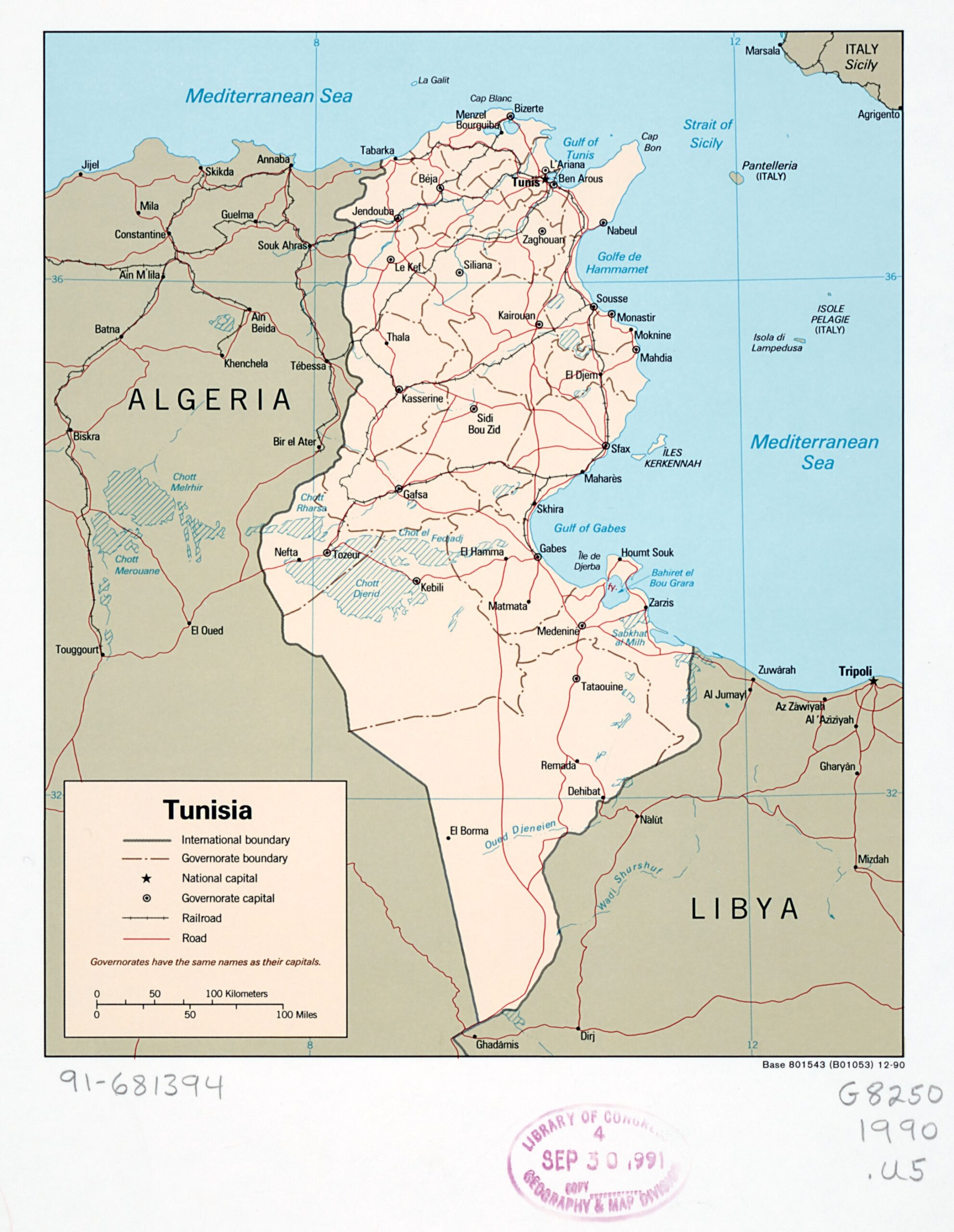
Tunisia Political Map Poster – Vintage 1990 Governorate and Road Map
Step back in time with this 1990 Tunisia Political Map Poster, showcasing international boundaries, governorates, cities, and major roads. Highlighting the capital city of Tunis and the nation’s connection to Algeria, Libya, and the Mediterranean Sea, this map offers a unique historical perspective. Ideal for educators, collectors, or anyone fascinated by North African geography.


Reviews
There are no reviews yet.