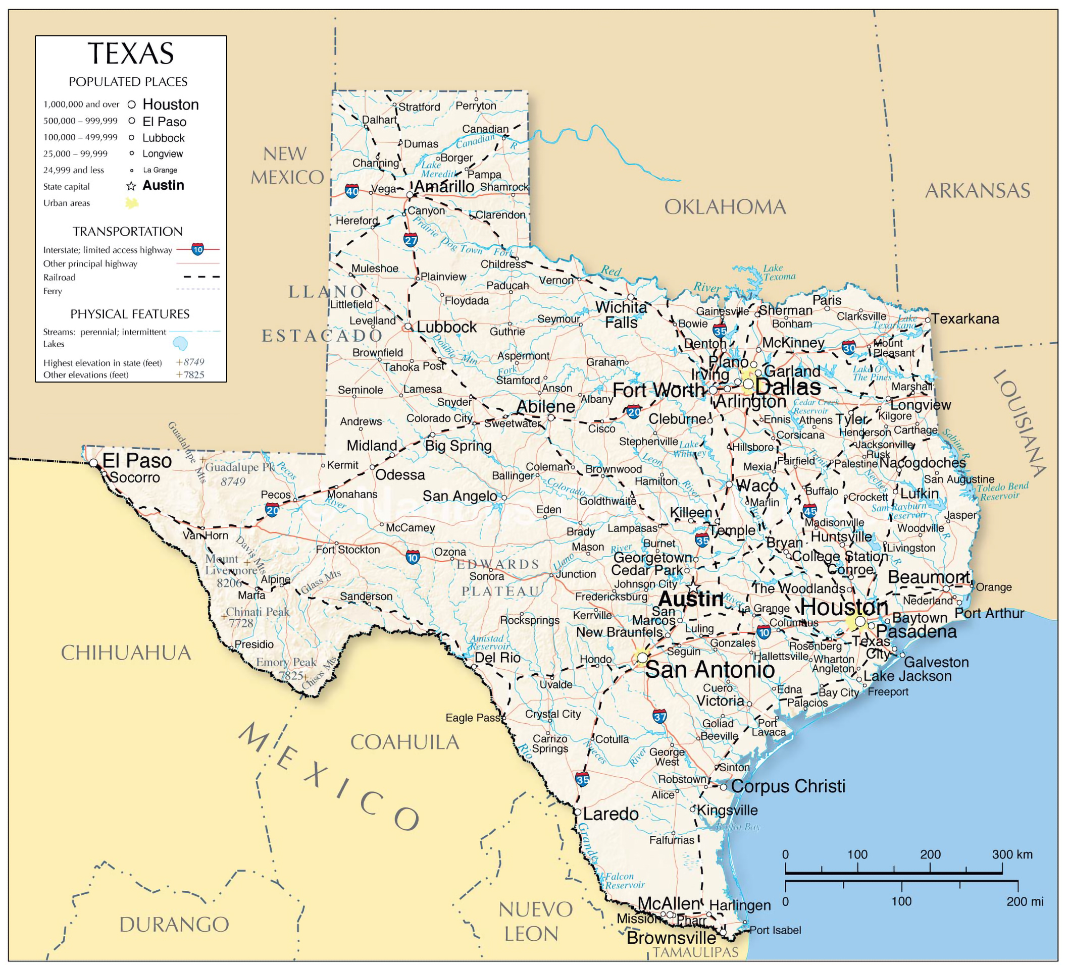
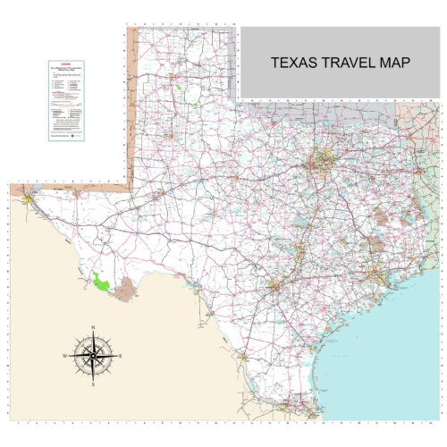
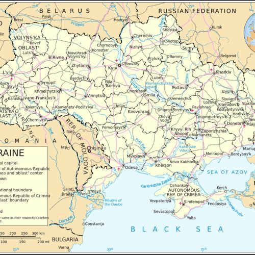
26x24in Map Texas detailed map of with boundaries, state capital Austin, major cities
| Weight | 6 oz |
|---|---|
| Dimensions | 24 × 2 × 2 in |
| Finishing Options | |
| Brand Name |
26x24in Map Texas detailed map of with boundaries, state capital Austin, major cities
Shop the Wall Art Impressions collection of wall maps, including country maps, state maps, political maps, physical maps, thematic maps, and more.
Whether you’re teaching geography, decorating your wall, or exploring Texas from afar, this map blends function with style.
Designed with meticulous attention to detail, our maps are the perfect addition to any home, office, classroom, or study space. The high-quality printing ensures that every country, continent, or county is accurately represented, making it easy to distinguish boundaries, capitals, major cities, and geographical features. The clear labeling makes them an ideal educational resource for classrooms.
How to Choose the Right Finish for Your Map
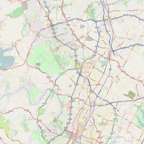
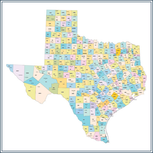
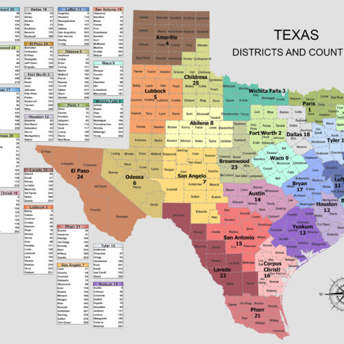
similar maps

Cole$5$ –
beautifully laminated, arrived on time
Donna Meggy –
The map was exactly what I was looking for, and the support was communicative when messaged.
Deborah Smith –
Loved how the quality of the map and great customer service throughout the process