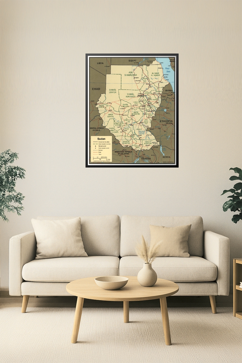
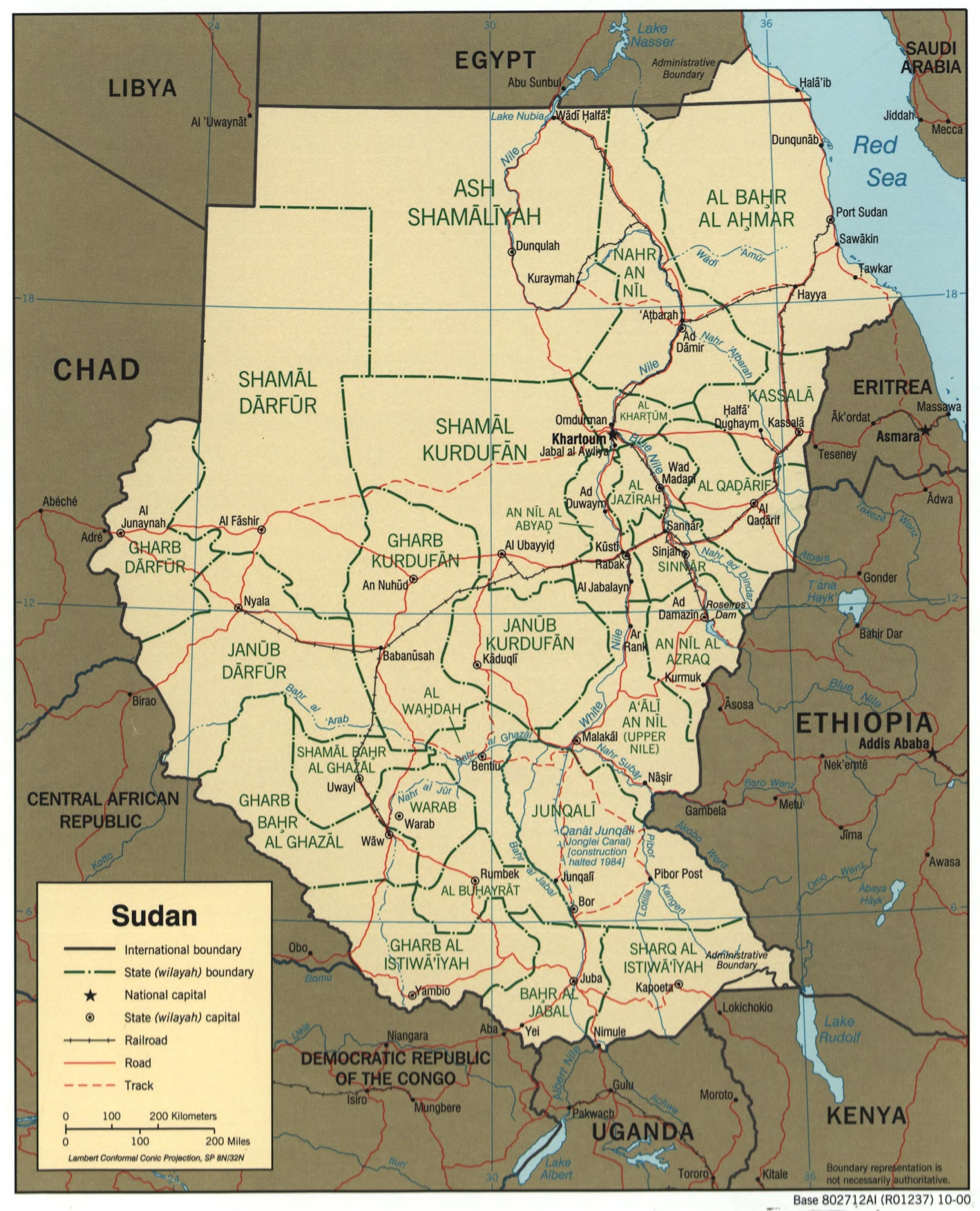
Sudan Map – Administrative Divisions and State Capitals Poster

| Weight | 8 oz |
|---|---|
| Dimensions | 26 × 2 × 2 in |
| Size (inches) | |
| Finishing Options |
Sudan Map – Administrative Divisions and State Capitals Poster
This detailed map of Sudan showcases all its administrative divisions (wilayahs), including state boundaries, capitals, railroads, and key transport routes. It provides a clear view of Sudan’s complex geography, including borders with Egypt, Libya, Chad, South Sudan, Ethiopia, and Eritrea. Ideal for educators, historians, travelers, and geopolitical analysts.
How to Choose the Right Finish for Your Map

Reviews
There are no reviews yet.