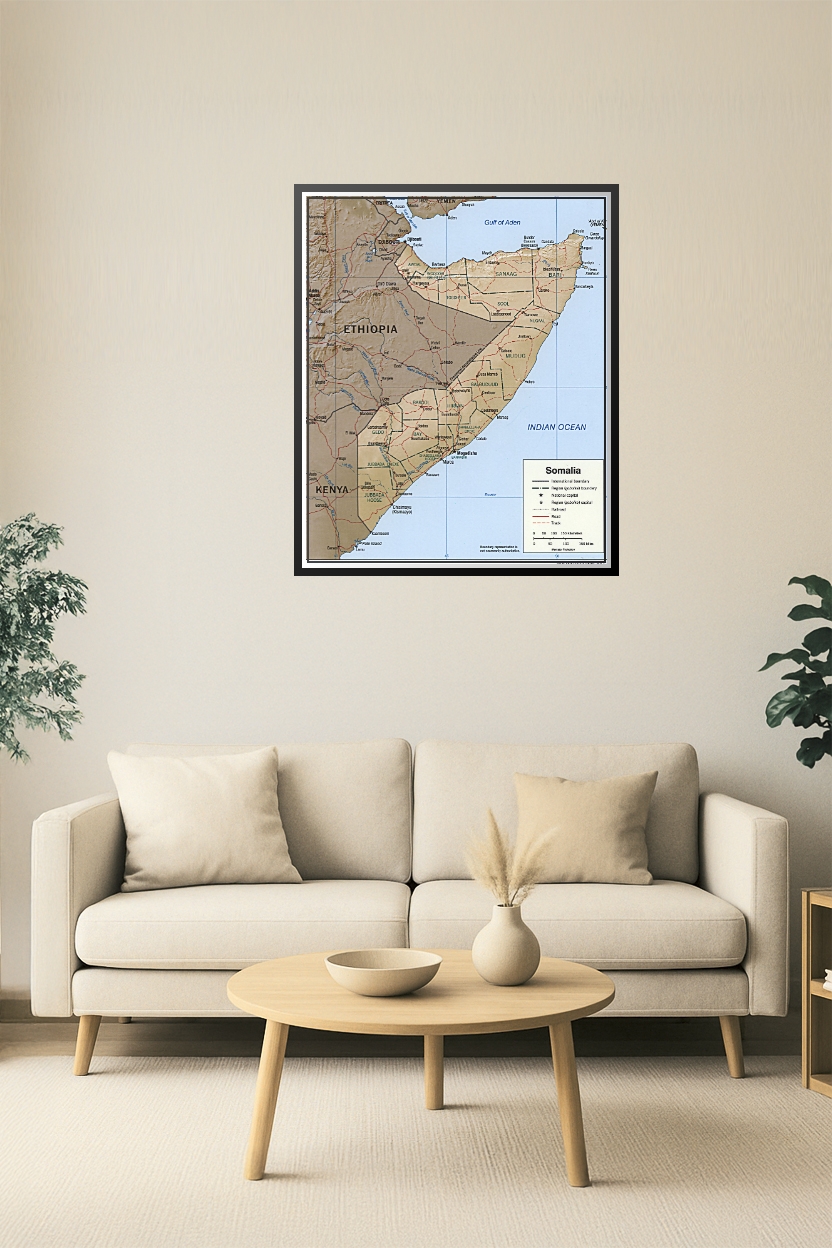
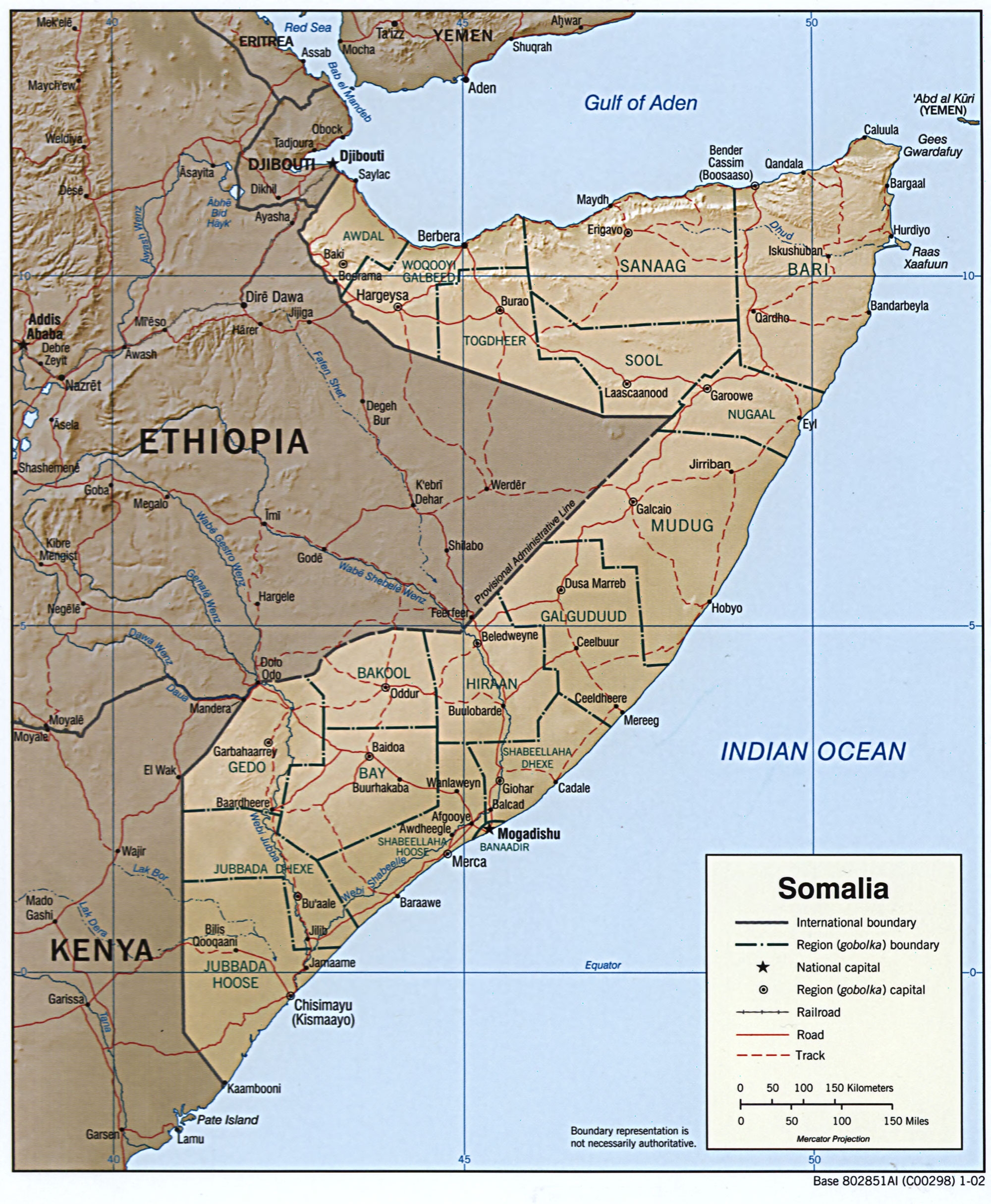
Somalia Political Map – Regional Boundaries, Roads & Capital Cities
This high-resolution political map of Somalia features clearly marked regional (gobolka) boundaries, national and regional capitals, roads, tracks, and railroads. Covers neighboring borders with Ethiopia, Kenya, and Djibouti and coastal features along the Gulf of Aden and the Indian Ocean. Ideal for educational, geopolitical, and historical reference use.


Reviews
There are no reviews yet.