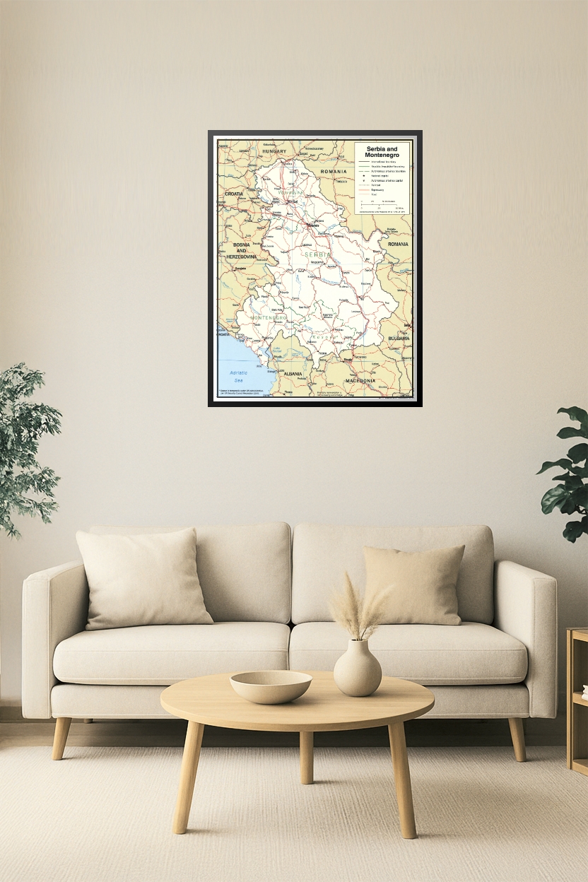
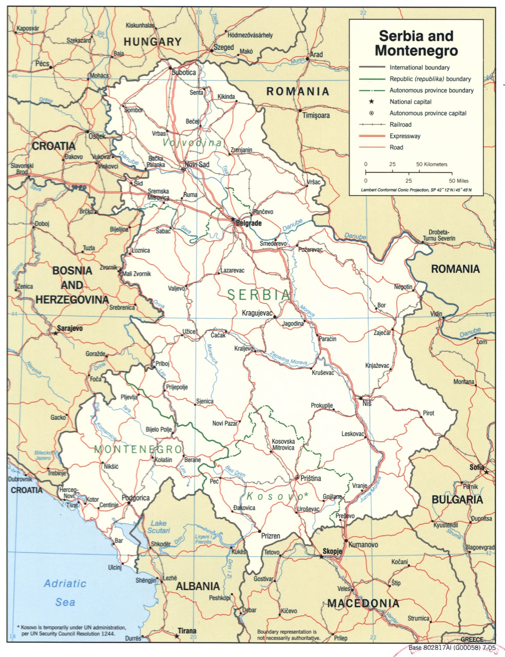
Serbia and Montenegro Political Map – Pre-2006 Republics with Kosovo & Vojvodina Boundaries
This detailed political map of Serbia and Montenegro displays the republic and autonomous province boundaries prior to the 2006 dissolution. Includes Kosovo (under UN administration at the time) and Vojvodina, showing international borders, railroads, expressways, and national capitals. An essential reference for historical, geopolitical, and academic purposes.

Reviews
There are no reviews yet.