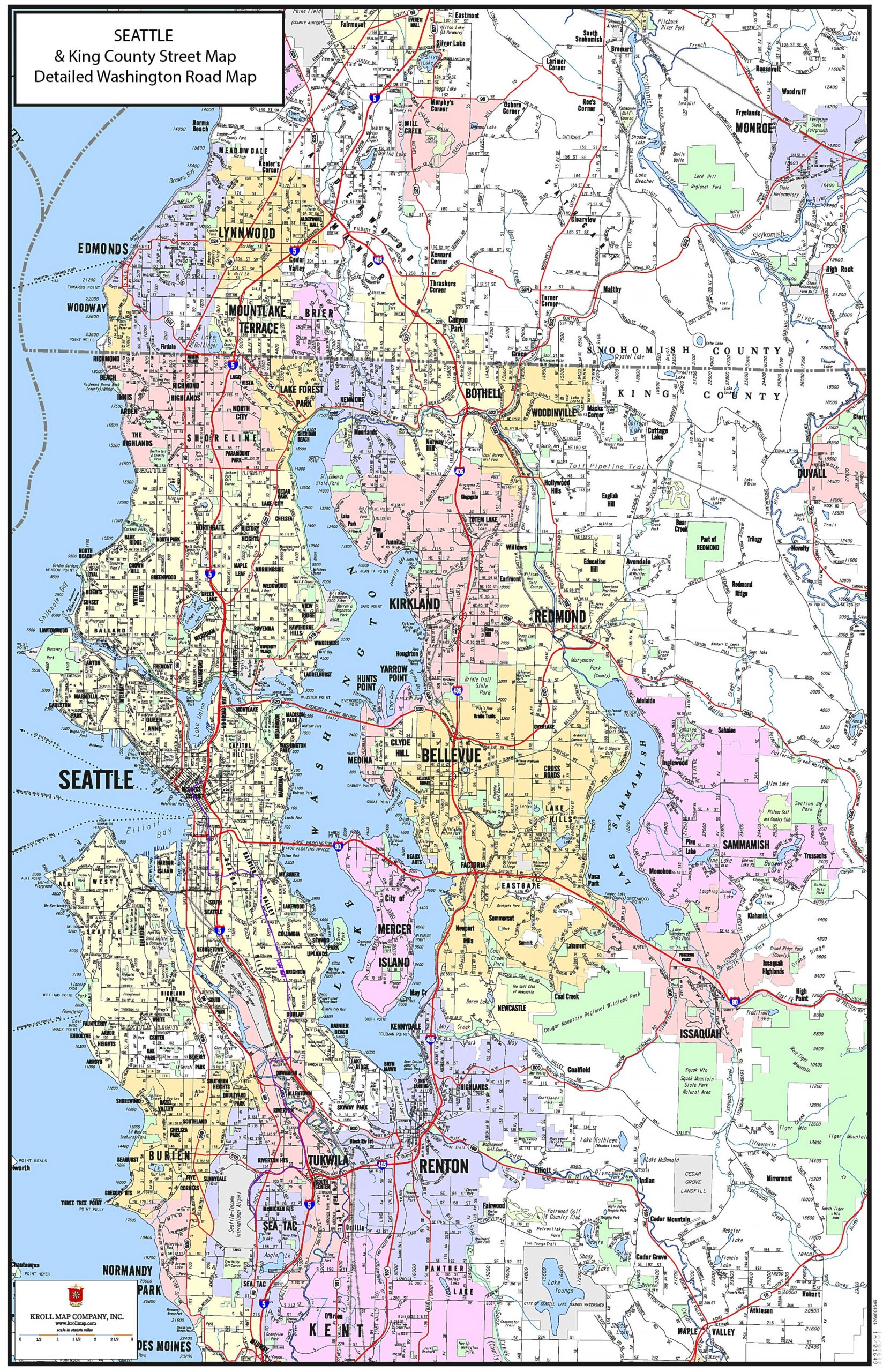
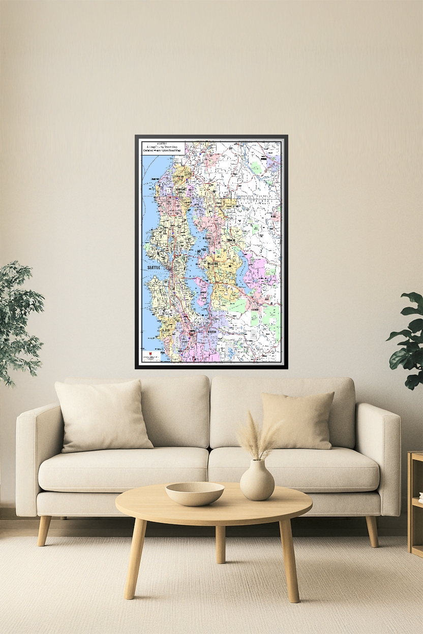
Seattle & King County Street Map Poster – Detailed Washington Road Map
| Weight | 8 oz |
|---|---|
| Dimensions | 26 × 2 × 2 in |
| Finishing Options | |
| Size (inches) |
Seattle & King County Street Map Poster – Detailed Washington Road Map
A highly detailed Seattle & King County Street Map featuring major highways, local roads, city boundaries, lakes, and neighborhoods throughout the Seattle metropolitan region. Includes Seattle, Bellevue, Redmond, Kirkland, Renton, Lynnwood, Bothell, and more. Printed in ultra-sharp resolution—perfect for home, office, classroom, or planning use.
How to Choose the Right Finish for Your Map


Reviews
There are no reviews yet.