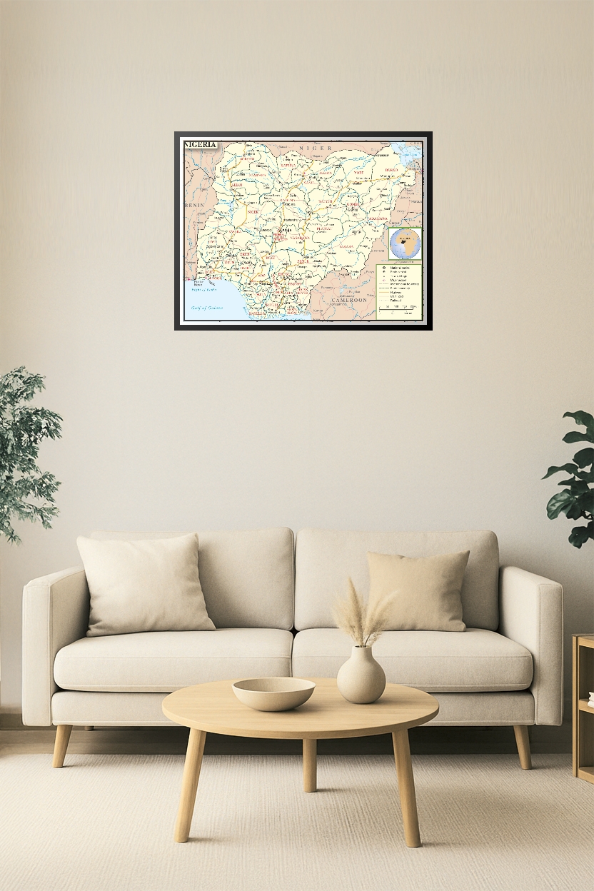


Nigeria Political Map Poster – State Capitals, Roads, and Borders Wall Art
Explore Nigeria’s 36 states and capital territory with this detailed Nigeria Political Map Poster. Featuring all major highways, railroads, rivers, and cities including Lagos, Abuja, and Kano, this educational wall art is perfect for classrooms, offices, or anyone interested in African geography. A clear and colorful reference tool for travelers, students, and educators alike.

Reviews
There are no reviews yet.