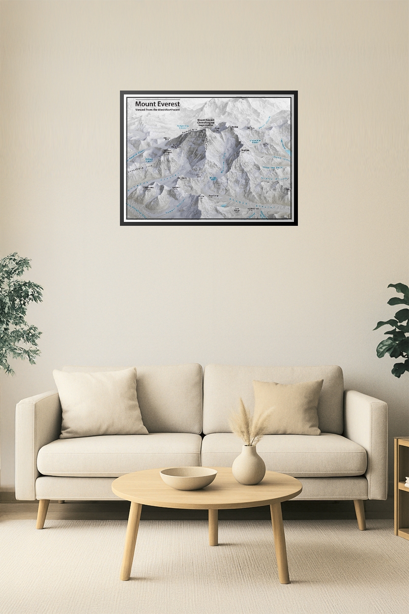
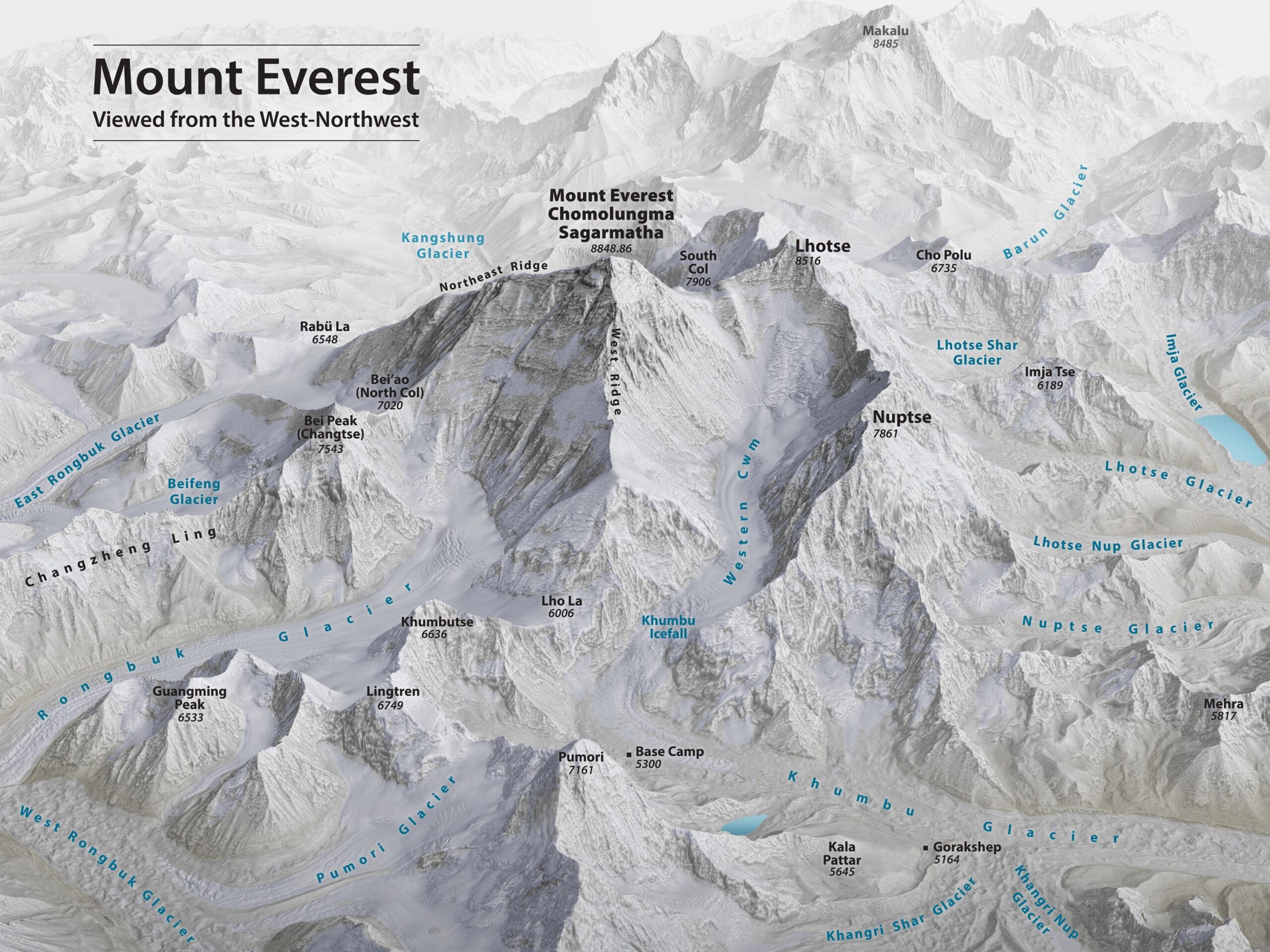
Mount Everest 3D Relief Map – West-Northwest Aerial View

| Weight | 8 oz |
|---|---|
| Dimensions | 26 × 2 × 2 in |
| Size (inches) | |
| Finishing Options |
Mount Everest 3D Relief Map – West-Northwest Aerial View
Stunning 3D relief map of Mount Everest as viewed from the west-northwest, featuring detailed labeling of surrounding peaks, glaciers, ridges, and key landmarks such as Base Camp, Khumbu Icefall, and the Northeast Ridge. Includes neighboring mountains like Lhotse, Nuptse, and Makalu, as well as glaciers such as Rongbuk, Khumbu, and Kangshung. A perfect visual reference for climbers, geographers, and mountain enthusiasts.
How to Choose the Right Finish for Your Map


Reviews
There are no reviews yet.