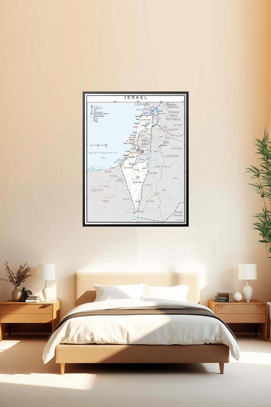
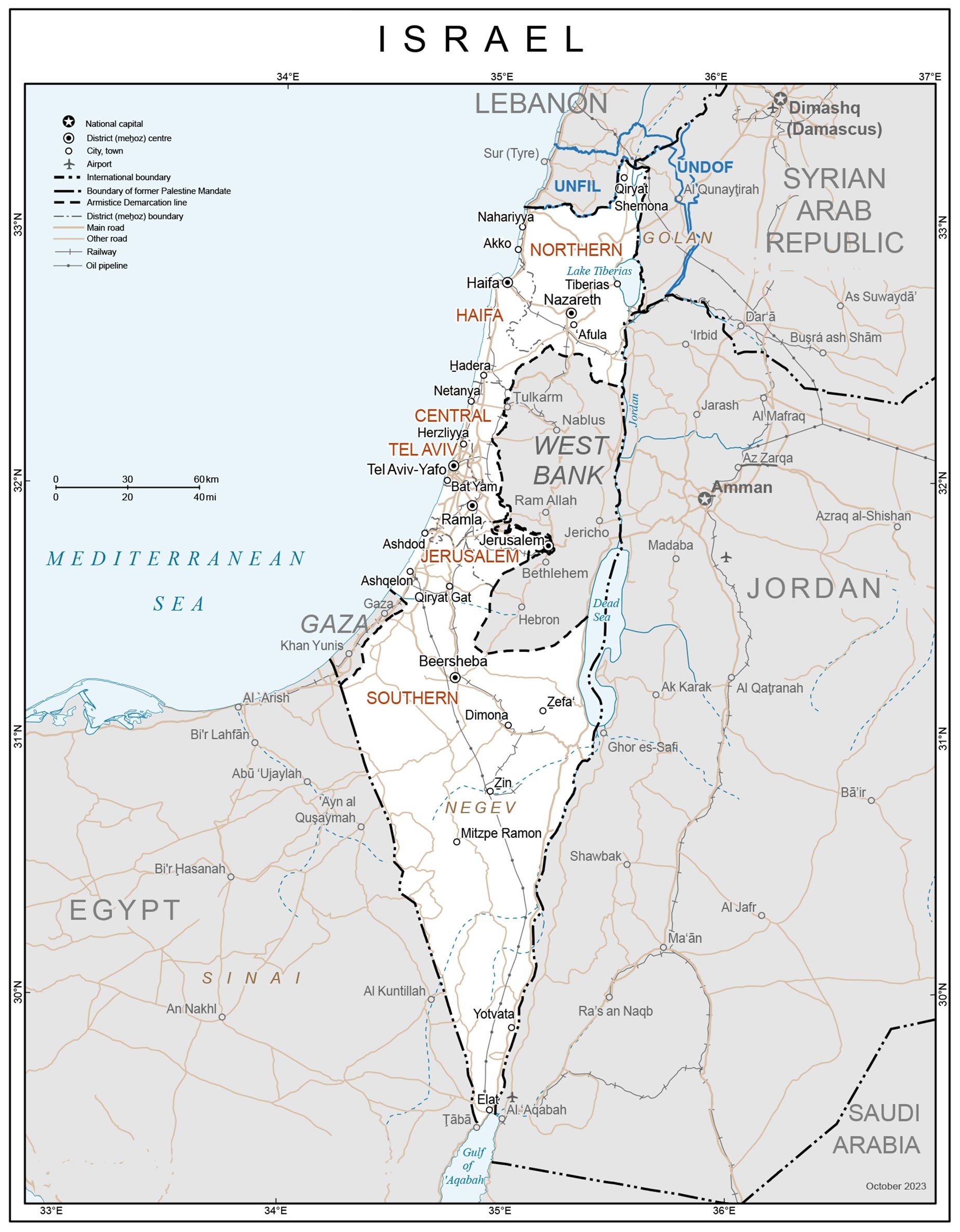
Modern Political Map of Israel – Detailed Middle East Geography Poster
This modern political map of Israel presents the country’s geography with clear boundaries, major cities, and districts including Tel Aviv, Jerusalem, Haifa, and Beersheba. It also highlights regional features such as the West Bank, Gaza Strip, Golan Heights, and surrounding nations—Egypt, Jordan, Lebanon, and Syria. Perfect for classrooms, travel enthusiasts, or anyone interested in Middle Eastern geopolitics and history.
Reviews
There are no reviews yet.