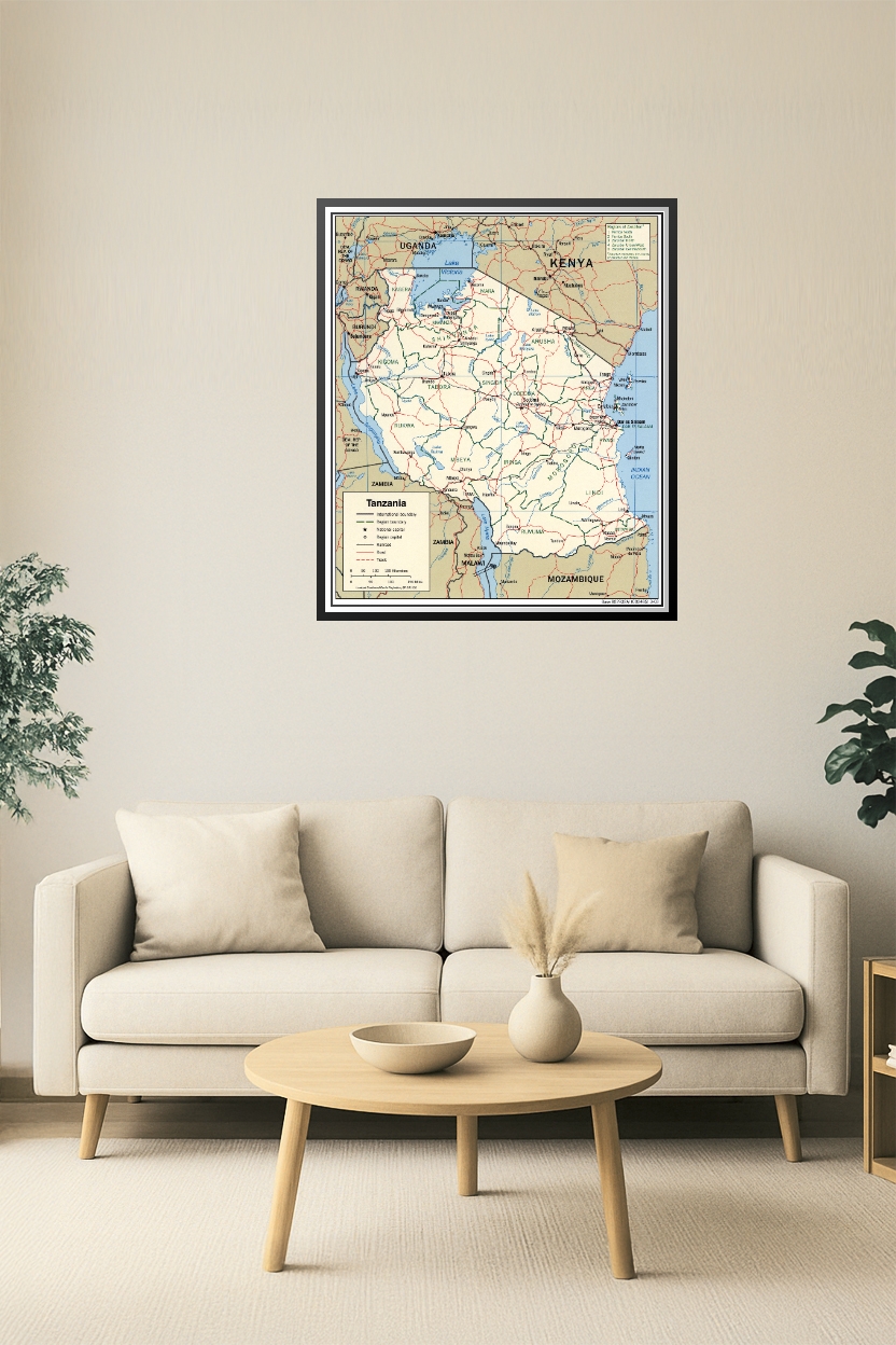
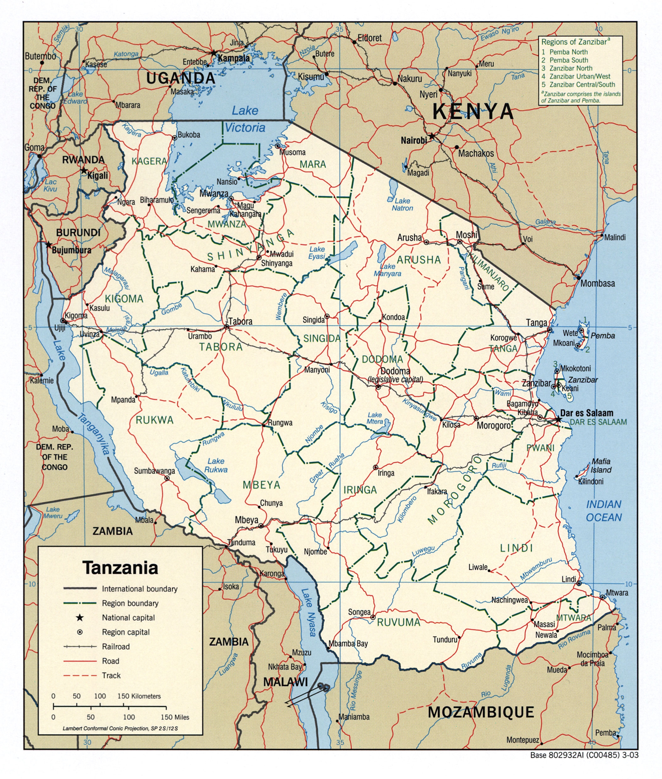

Map of Tanzania Poster – East Africa Political & Regional Geography
Explore the landscapes of East Africa with this vintage-style poster reproduction of Tanzania. Featuring regional borders, key cities, and topographic details, this high-quality print is perfect for geography lovers, educators, travelers, and map collectors.


Reviews
There are no reviews yet.