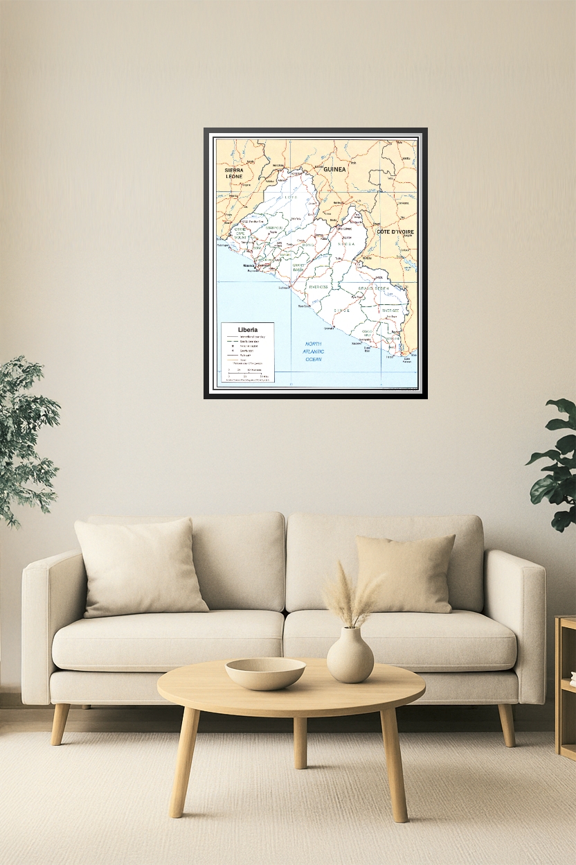
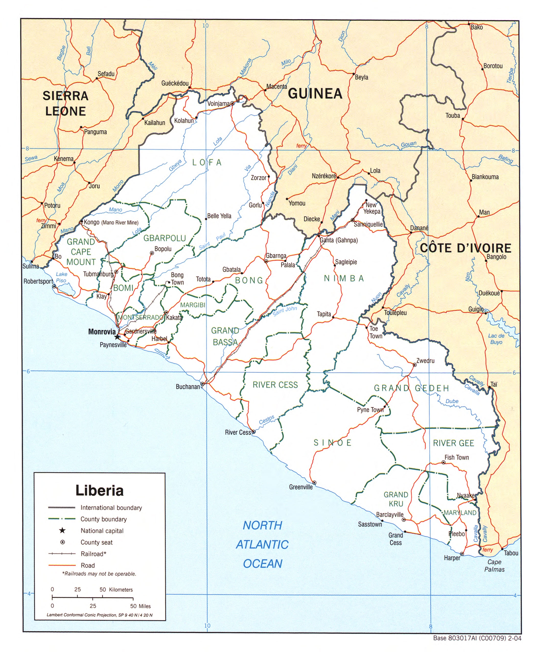
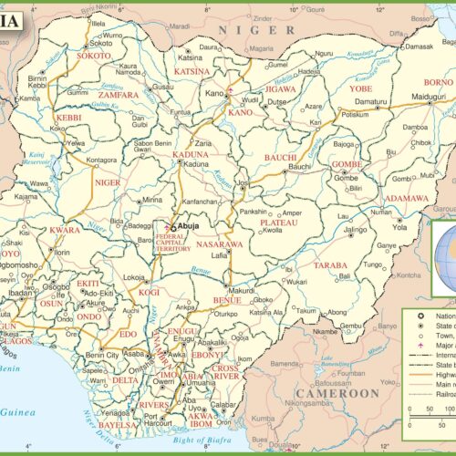
Liberia Political Map Poster – Counties, Roads & Borders
Explore Liberia’s geography with this clear and informative political map. Displaying international borders, county boundaries, roads, railroads, and the national capital Monrovia, this map also shows neighboring countries including Sierra Leone, Guinea, and Côte d’Ivoire. Ideal for classrooms, libraries, development agencies, or anyone studying West African geopolitics.
![Dallas - Fort Worth Metroplex Travel Map with Cities & Roads. Includes Dallas, Fort Worth, Plano, Arlington, Irving & More [24x36] picture](https://wallartimpressions.com/wp-content/uploads/2025/05/68309c2b1b1f7-dnf-31_variant2-500x500.jpg)
![Dallas - Fort Worth Metroplex Travel Map with Cities & Roads. Includes Dallas, Fort Worth, Plano, Arlington, Irving & More [24x36] picture](https://wallartimpressions.com/wp-content/uploads/2025/05/68309c2aa06b3-dnf-31-500x500.jpg)
Reviews
There are no reviews yet.