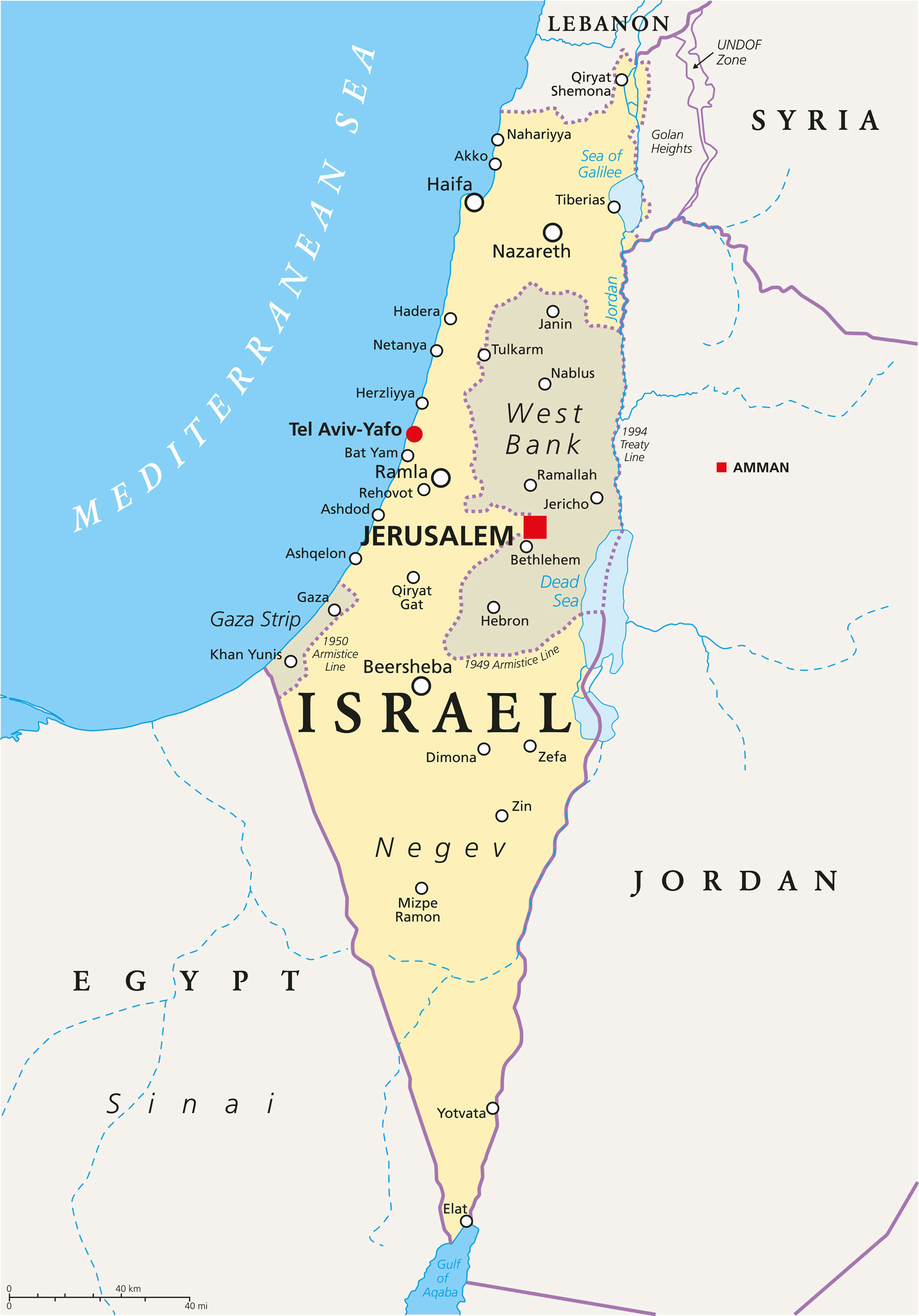
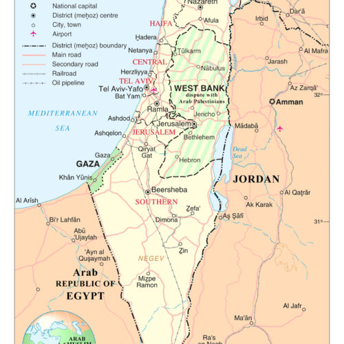
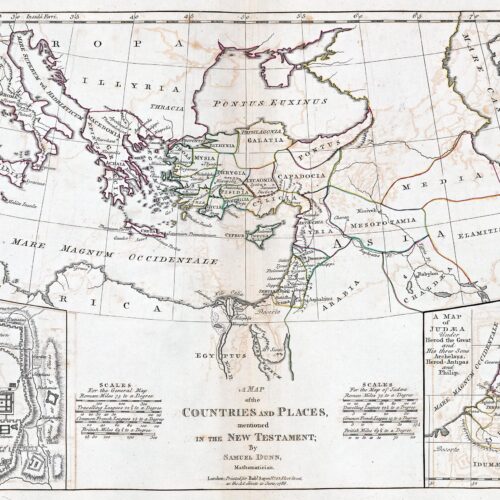
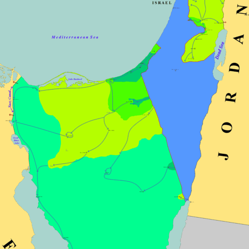
24″x34″ Israel political map Middle East
This detailed 24×34 Israel political map poster is an essential educational and decorative piece for classrooms, offices, or world-travel-themed decor. Featuring the latest political boundaries, cities, and geographic details, this high-quality wall art print provides a clear and informative overview of Israel and surrounding Middle Eastern regions.
Ideal for teachers, students, travelers, or anyone with an interest in Middle Eastern politics and geography.
• Includes major cities, borders, and geographic features
• Great for educational, academic, or display purposes
• Ships rolled in secure protective packaging
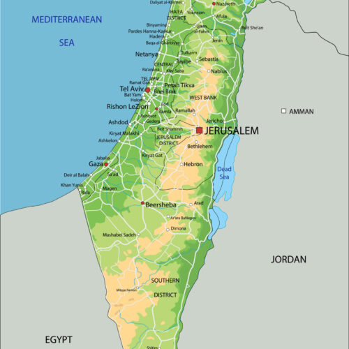
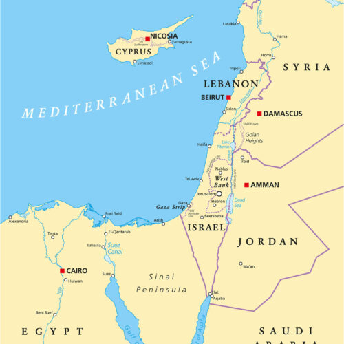
Shop the Wall Art Impressions collection of wall maps, including country maps, state maps, political maps, physical maps, thematic maps, and more.
Billie –
Exactly what I needed, superb quality and packing
Beth Senif –
Arrived sooner than expected and great quality!