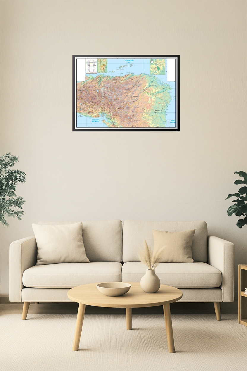
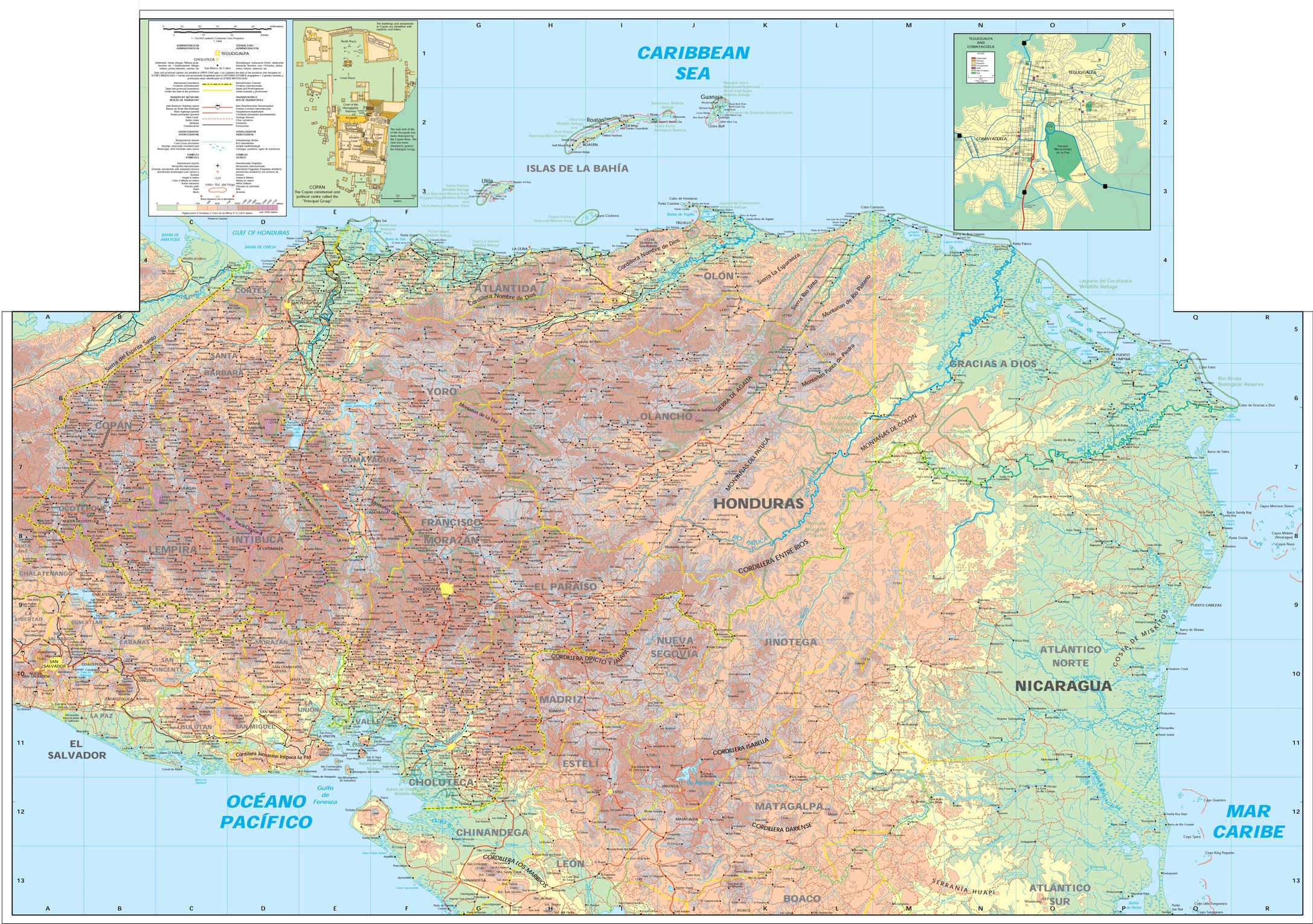
Honduras & Nicaragua Topographic Map Poster – Cities, Roads & Elevation
| Weight | 8 oz |
|---|---|
| Dimensions | 26 × 2 × 2 in |
| Size (inches) | |
| Finishing Options |
Honduras & Nicaragua Topographic Map Poster – Cities, Roads & Elevation
Discover the landscapes of Central America with this high-resolution topographic map featuring Honduras and Nicaragua. Showcasing detailed elevation shading, roads, rivers, departments, and border crossings, this map also includes inset maps of Tegucigalpa and regional islands. Perfect for educational use, travel planning, or wall display for geography enthusiasts.
How to Choose the Right Finish for Your Map
Reviews
There are no reviews yet.