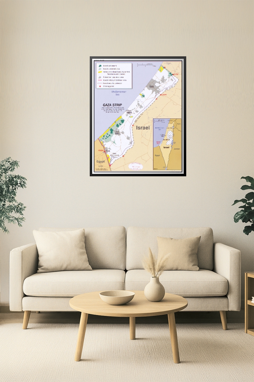
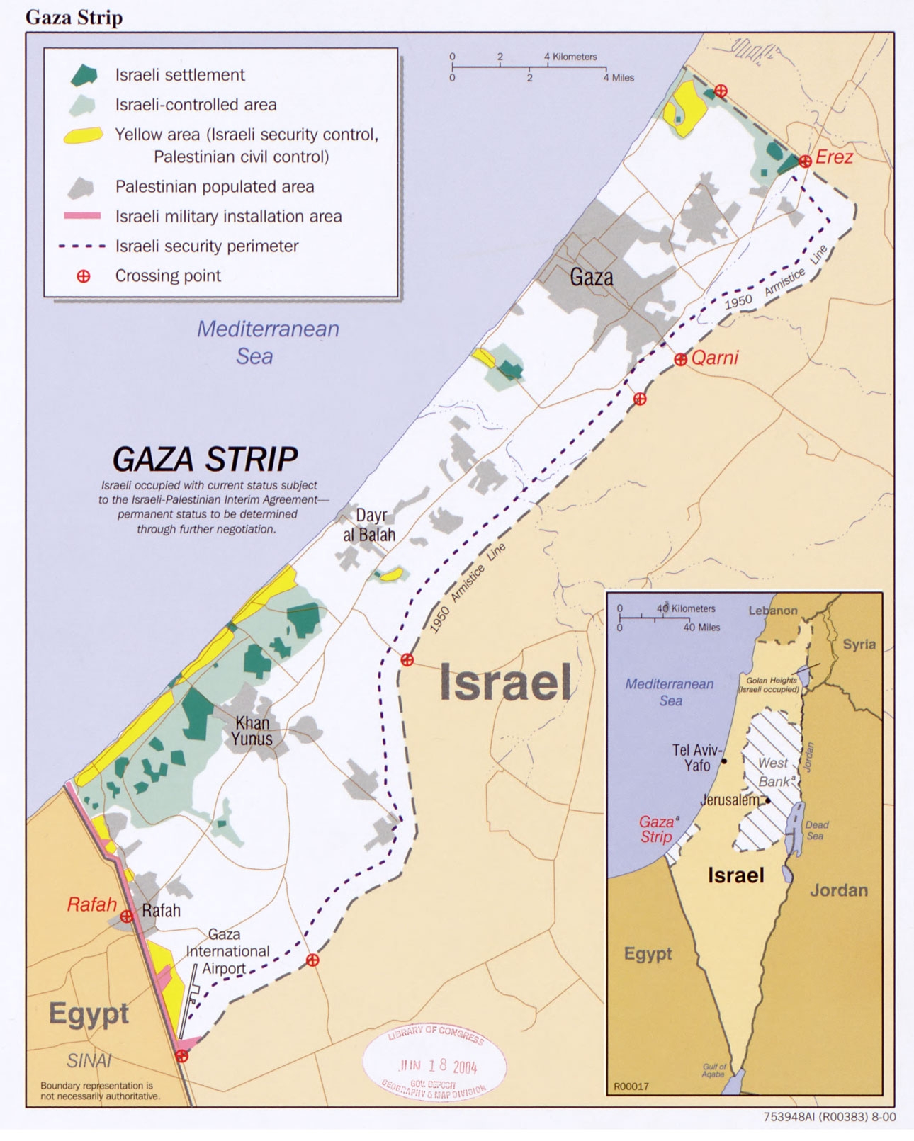
Gaza Strip Conflict Zone Map Poster – Israel & Palestinian Territories
| Weight | 8 oz |
|---|---|
| Dimensions | 26 × 2 × 2 in |
| Size (inches) | |
| Finishing Options |
Gaza Strip Conflict Zone Map Poster – Israel & Palestinian Territories
This high-resolution map poster of the Gaza Strip presents a comprehensive geopolitical layout, including Israeli-controlled areas, Palestinian-populated zones, military installations, and crossing points. It details security perimeters, settlements, and civil control regions, offering valuable insights into one of the world’s most complex conflict zones. Ideal for educational, research, or diplomatic settings.
How to Choose the Right Finish for Your Map

Reviews
There are no reviews yet.