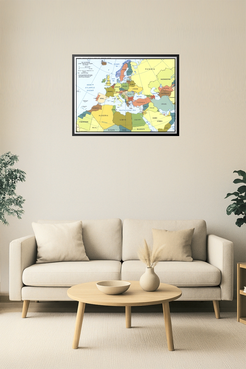
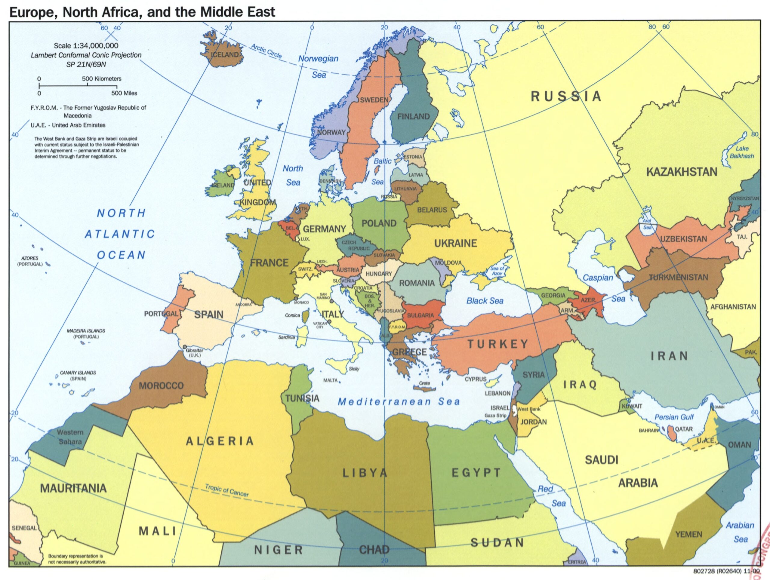
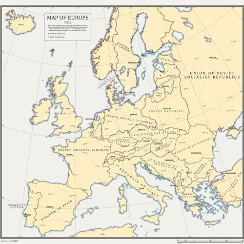
Europe, North Africa & Middle East Political Map – Detailed Regional Overview
This comprehensive political map showcases the nations of Europe, North Africa, and the Middle East with clearly defined country borders, capitals, and major bodies of water. Ideal for educational purposes, global studies, geopolitical analysis, and travel reference, this map includes regions like the Balkans, Levant, Maghreb, and Gulf States.
Reviews
There are no reviews yet.