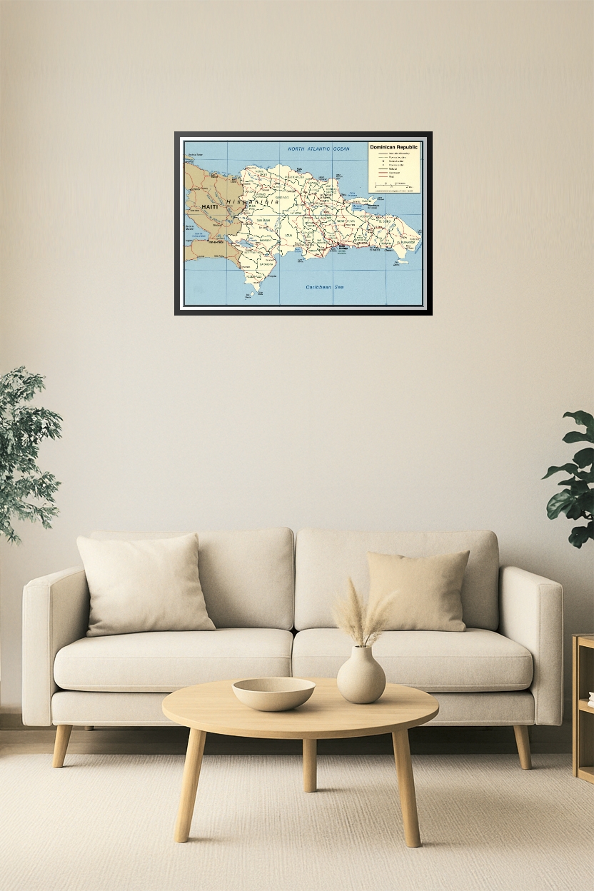
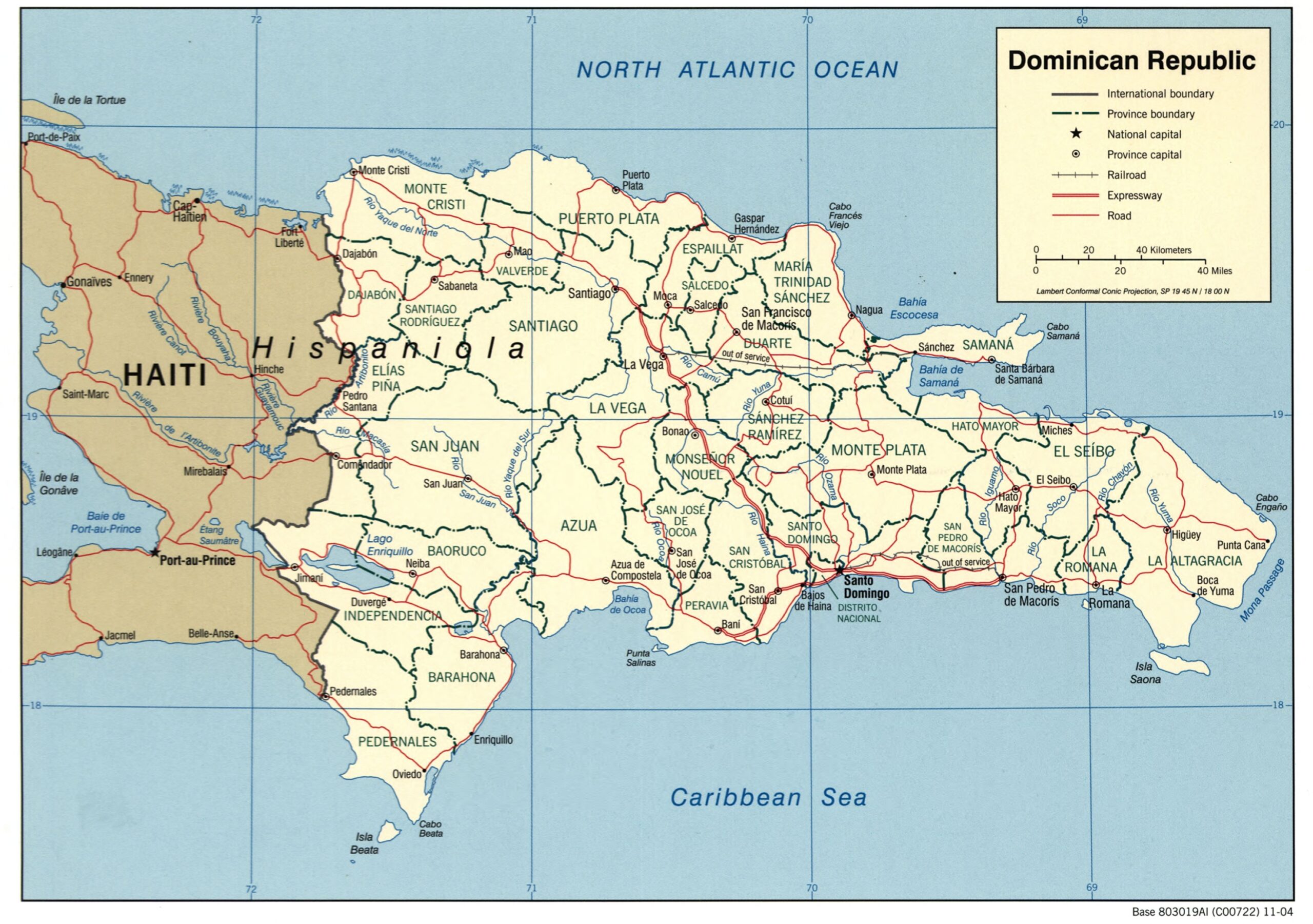
Dominican Republic Map Poster – Provinces, Roads & Borders of Hispaniola

| Weight | 8 oz |
|---|---|
| Dimensions | 26 × 2 × 2 in |
| Size (inches) | |
| Finishing Options |
Dominican Republic Map Poster – Provinces, Roads & Borders of Hispaniola
Explore the political and geographic layout of the Dominican Republic with this detailed wall map. Featuring provincial boundaries, capitals, expressways, and major roads, it also illustrates the border with Haiti and key cities like Santo Domingo, Santiago, and Punta Cana. Perfect for travelers, educators, and students studying Caribbean geopolitics.
How to Choose the Right Finish for Your Map


Reviews
There are no reviews yet.