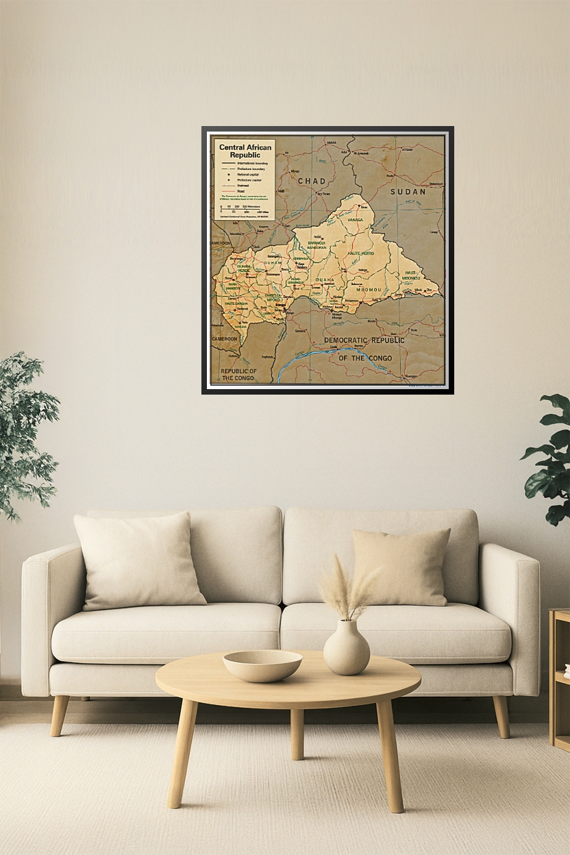
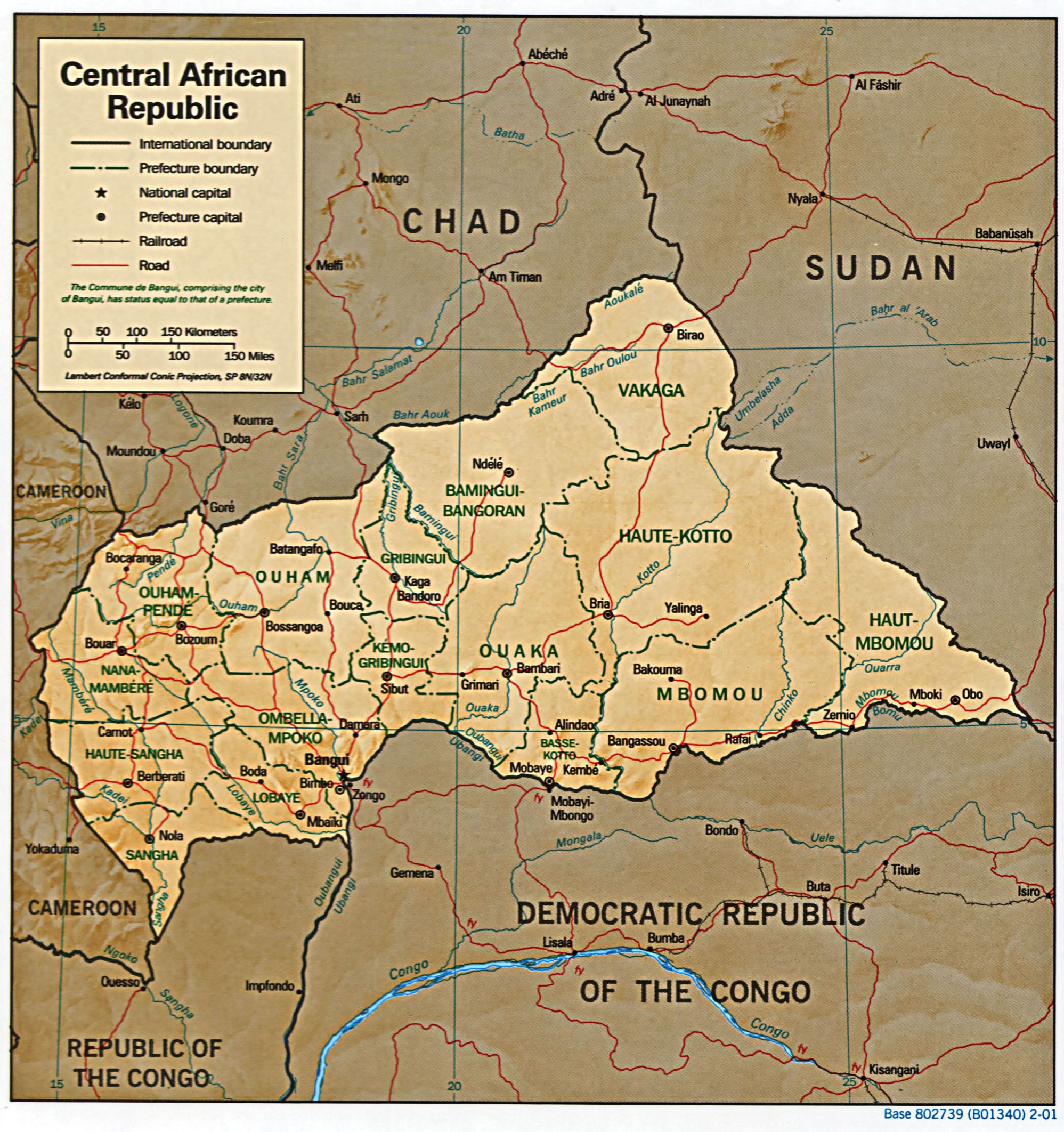
Central African Republic Map Poster – Political & Geographic Borders
Explore the Central African Republic with this detailed map poster showcasing prefecture boundaries, capital cities, roads, and neighboring countries. A perfect addition for educational use, travel planning, or geographic reference.


Reviews
There are no reviews yet.