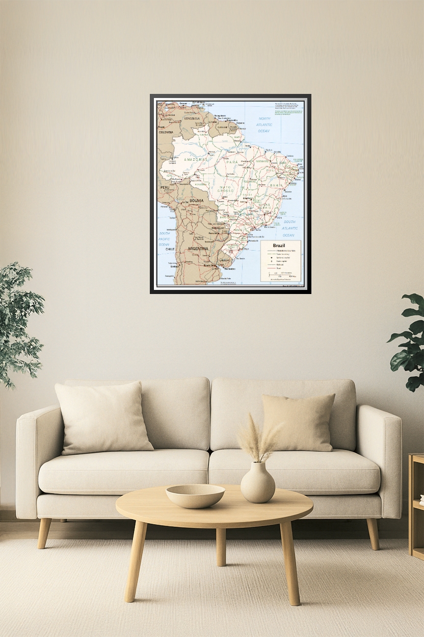
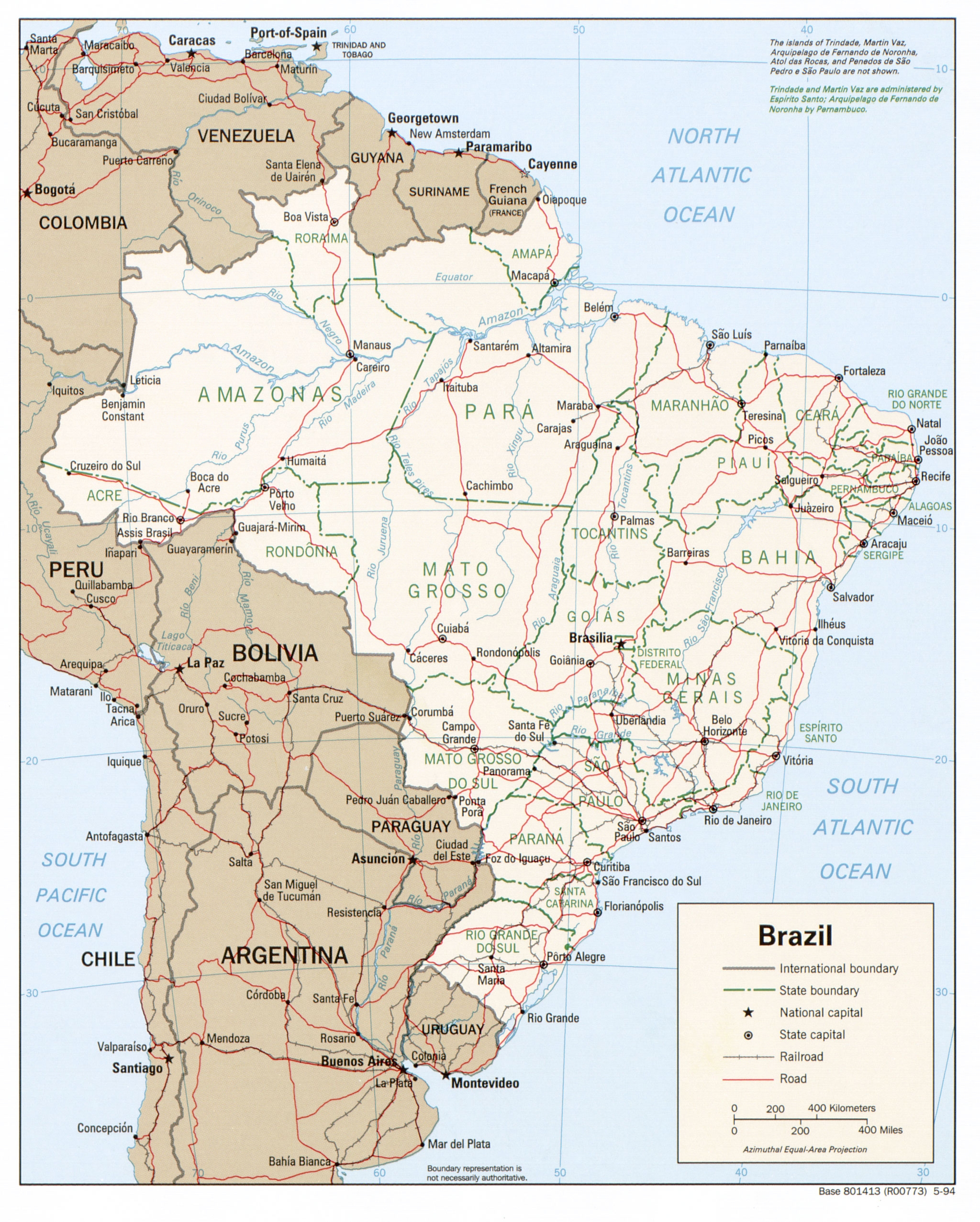

Brazil Political Map Poster – Detailed South America Geography Print
Explore the geography of South America with this highly detailed Brazil Political Map Poster. Featuring clearly labeled state boundaries, international borders, capitals, and major roads and railways, this educational print is perfect for classrooms, offices, or home study areas. Highlighting Brazil’s geographic and political landscape, this map also includes neighboring countries such as Argentina, Peru, Venezuela, and more for a broader continental context.


Reviews
There are no reviews yet.