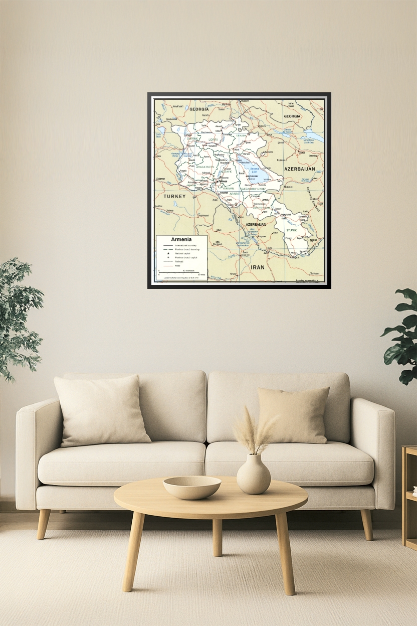
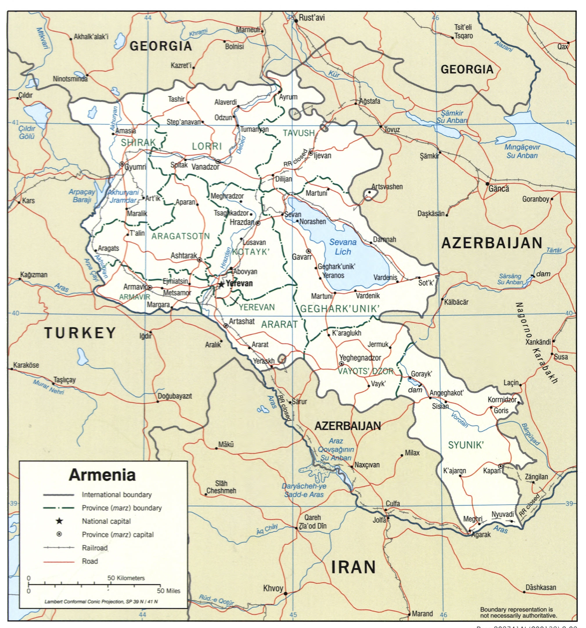
Armenia Map Poster – Provinces and International Borders
| Weight | 8 oz |
|---|---|
| Dimensions | 26 × 2 × 2 in |
| Size (inches) | |
| Finishing Options |
Armenia Map Poster – Provinces and International Borders
Explore Armenia in detail with this high-quality political map poster showcasing all provincial (marz) boundaries, major cities including Yerevan, and neighboring countries like Turkey, Georgia, Azerbaijan, and Iran. Ideal for classrooms, libraries, travelers, and regional researchers.
How to Choose the Right Finish for Your Map

Reviews
There are no reviews yet.