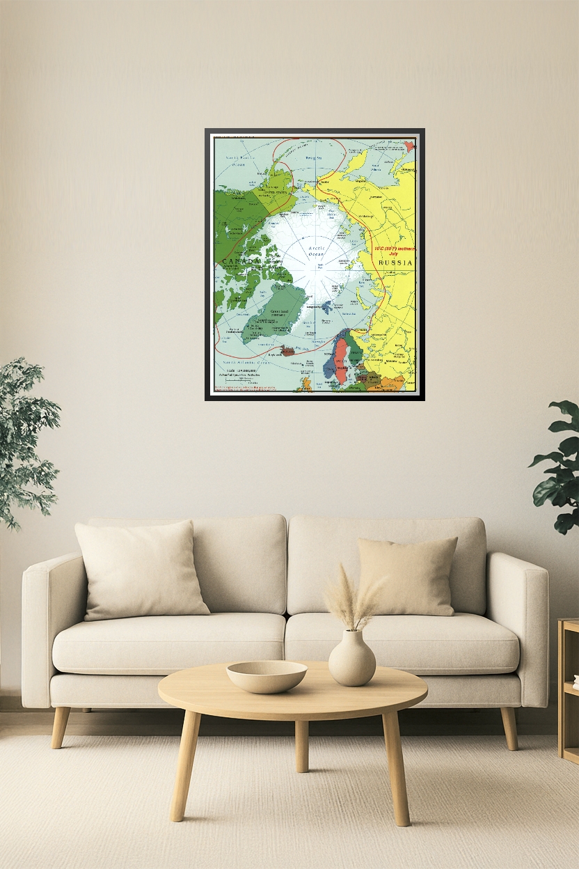
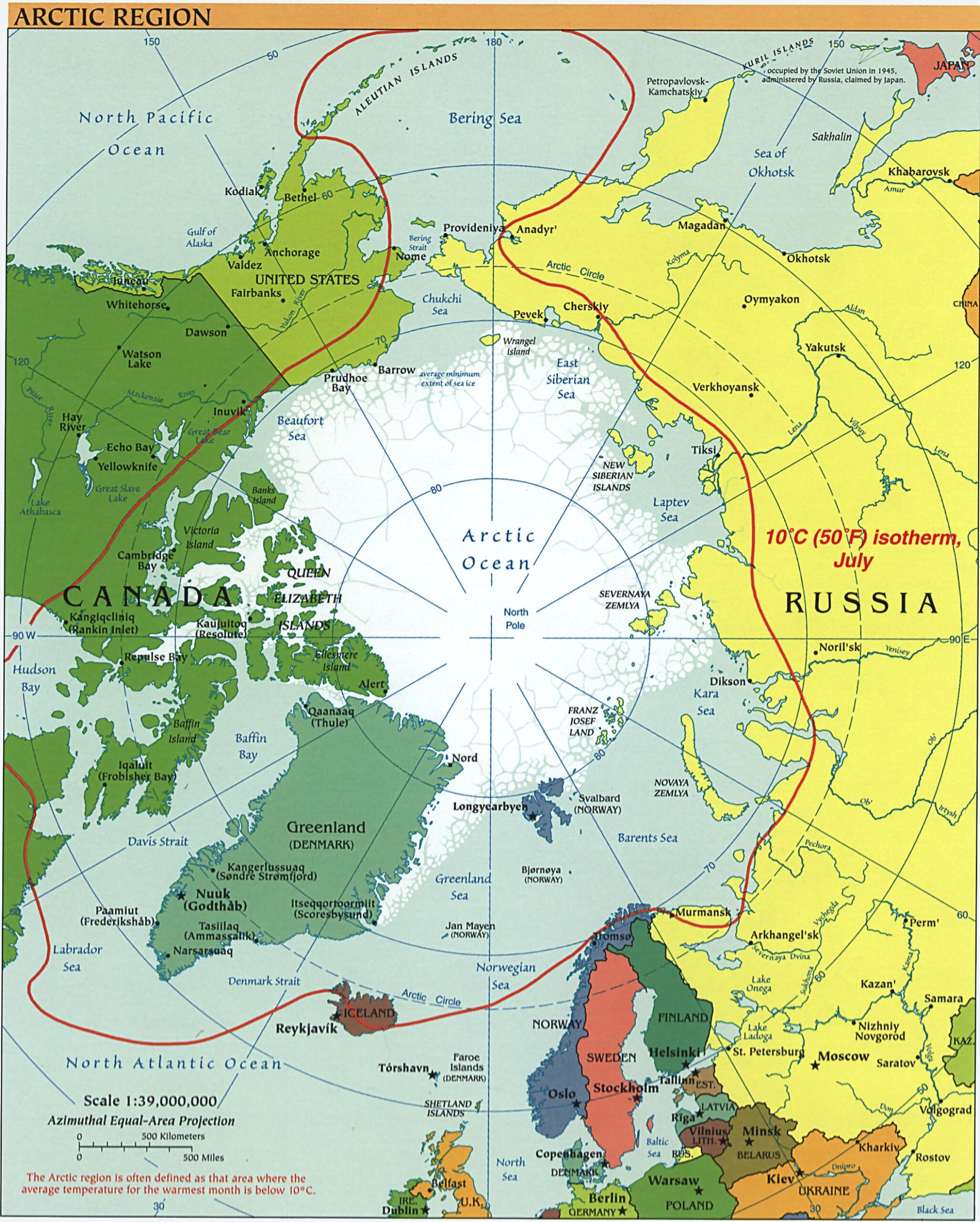
Arctic Region Map Poster – Polar Geography & Climate Reference
| Weight | 8 oz |
|---|---|
| Dimensions | 26 × 2 × 2 in |
| Size (inches) | |
| Finishing Options |
Arctic Region Map Poster – Polar Geography & Climate Reference
Delve into the far north with this richly detailed Arctic Region map poster. Featuring political boundaries, ocean names, key Arctic cities, and the 10°C (50°F) July isotherm line, this map highlights climate zones, geopolitical territories, and Arctic Ocean access points. A valuable educational resource for students, teachers, explorers, or anyone fascinated by polar science, climate change, or international geography.
How to Choose the Right Finish for Your Map

Reviews
There are no reviews yet.