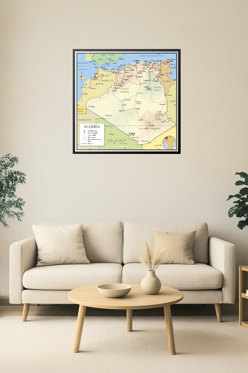
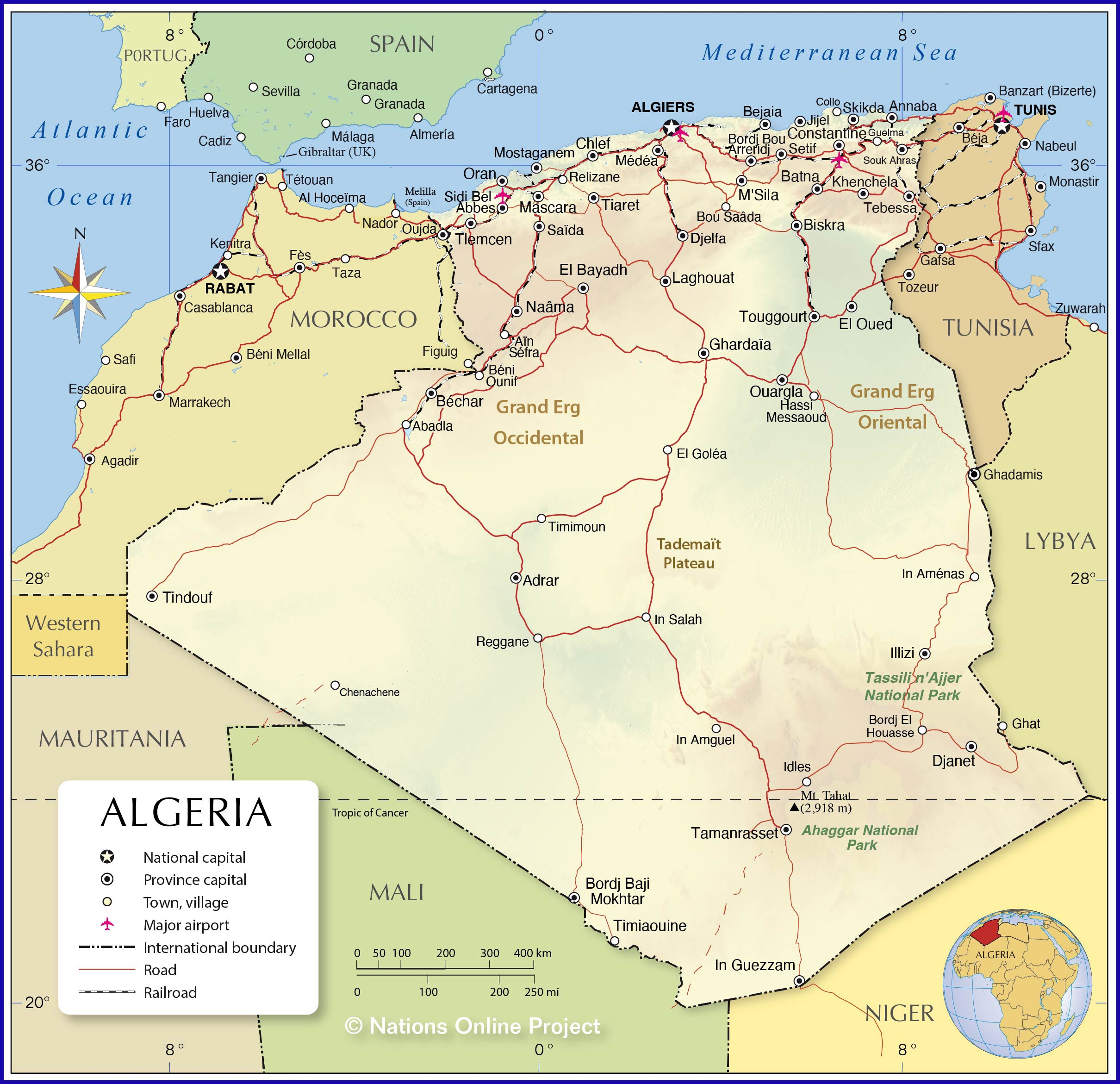
Algeria Political Map Poster – Detailed Country Wall Art | North Africa Geography Decor
Explore the vast landscapes and rich geography of Algeria with this detailed political map poster. Featuring province boundaries, major cities, roads, railroads, and natural landmarks like the Grand Erg Occidental, Grand Erg Oriental, and Tassili n’Ajjer National Park, this high-quality print is perfect for classrooms, offices, or home décor. Ideal for educators, travelers, or map enthusiasts who appreciate North African geography.
Reviews
There are no reviews yet.