
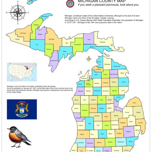
32x24in Poster Texas US Congressional District and County Map
Explore the great state of Texas with this detailed and colorful Texas Districts and Counties Map. Perfect for educational purposes, businesses, government offices, or home decor, this map offers a comprehensive view of all 254 counties divided by districts, showcasing county names and key locations.
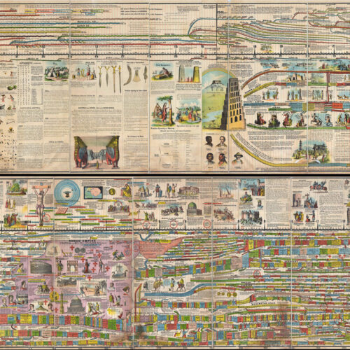
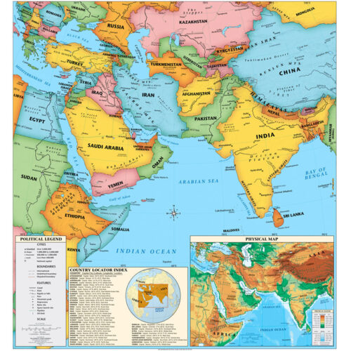
Shop the Wall Art Impressions collection of wall maps, including country maps, state maps, political maps, physical maps, thematic maps, and more. Designed with meticulous attention to detail, our maps are the perfect addition to any home, office, classroom, or study space. The high-quality printing ensures that every country, continent, or county is accurately represented, making it easy to distinguish boundaries, capitals, major cities, and geographical features. The clear labeling makes them an ideal educational resource for classrooms.
SilvaKT –
Perfect for my classroom.