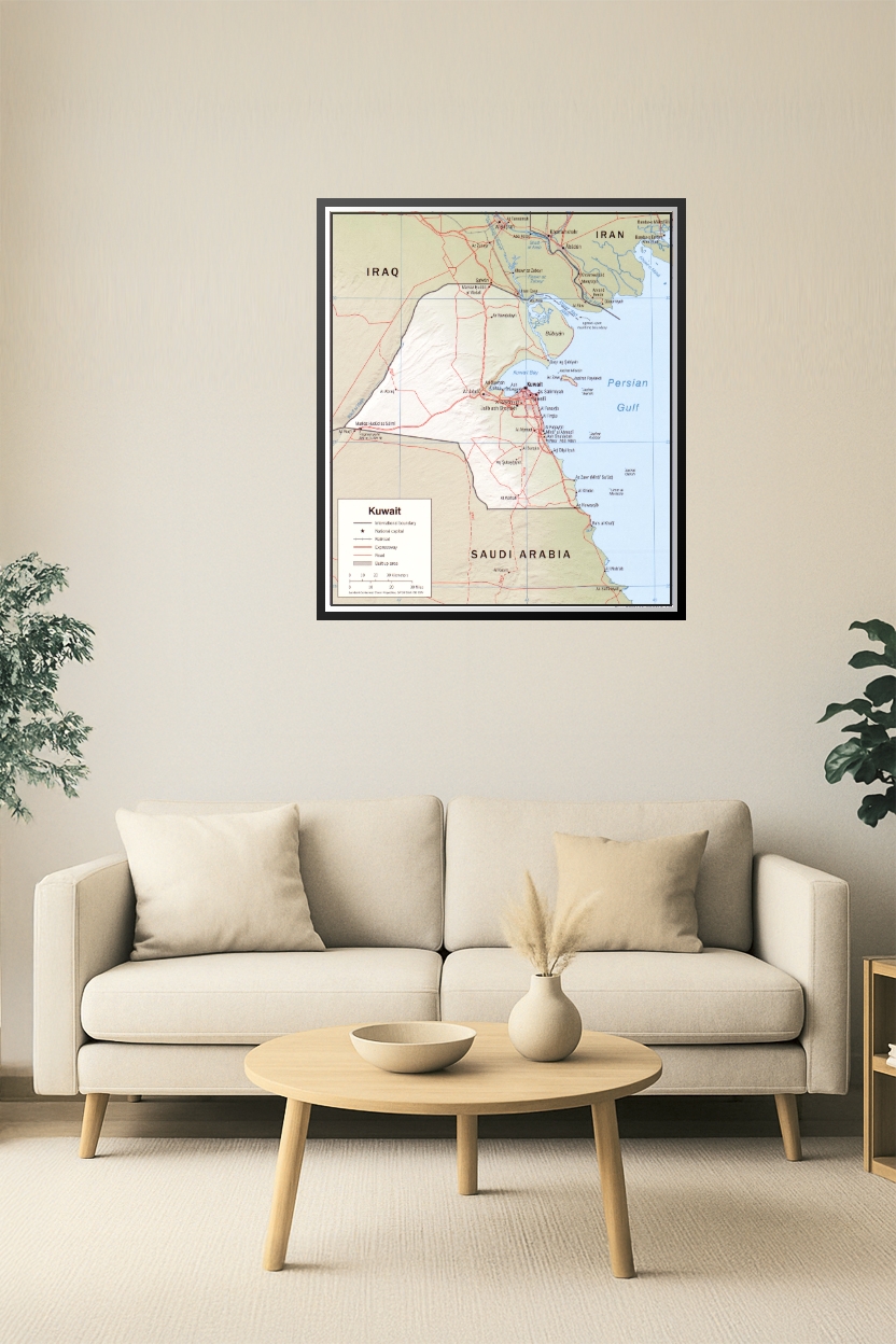
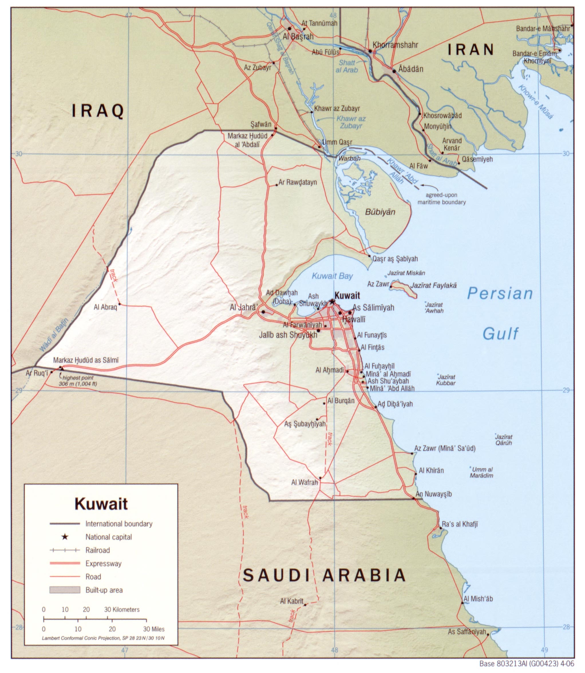
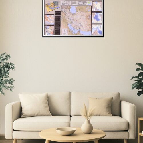
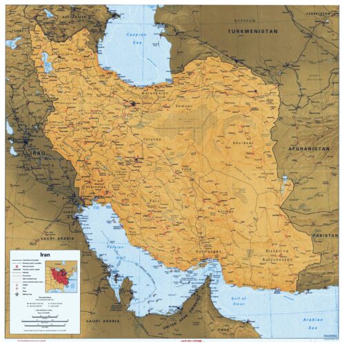
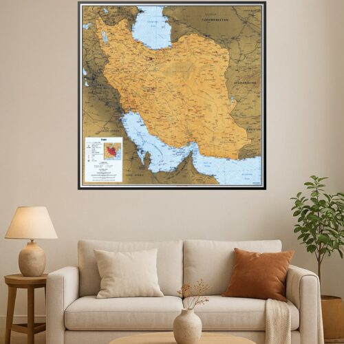
24x28in Poster Kuwait Political Map with Roads, Rail, and Border Detail – 2006 Edition
This 2006 political map of Kuwait showcases national boundaries, major highways, expressways, railroads, and key infrastructure. It details Kuwait City and nearby urban zones, as well as strategic neighboring border areas with Iraq, Iran, and Saudi Arabia. Includes water features like Kuwait Bay and the Persian Gulf for complete geopolitical reference.
Reviews
There are no reviews yet.