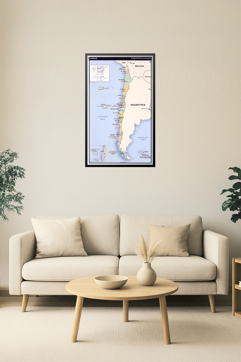
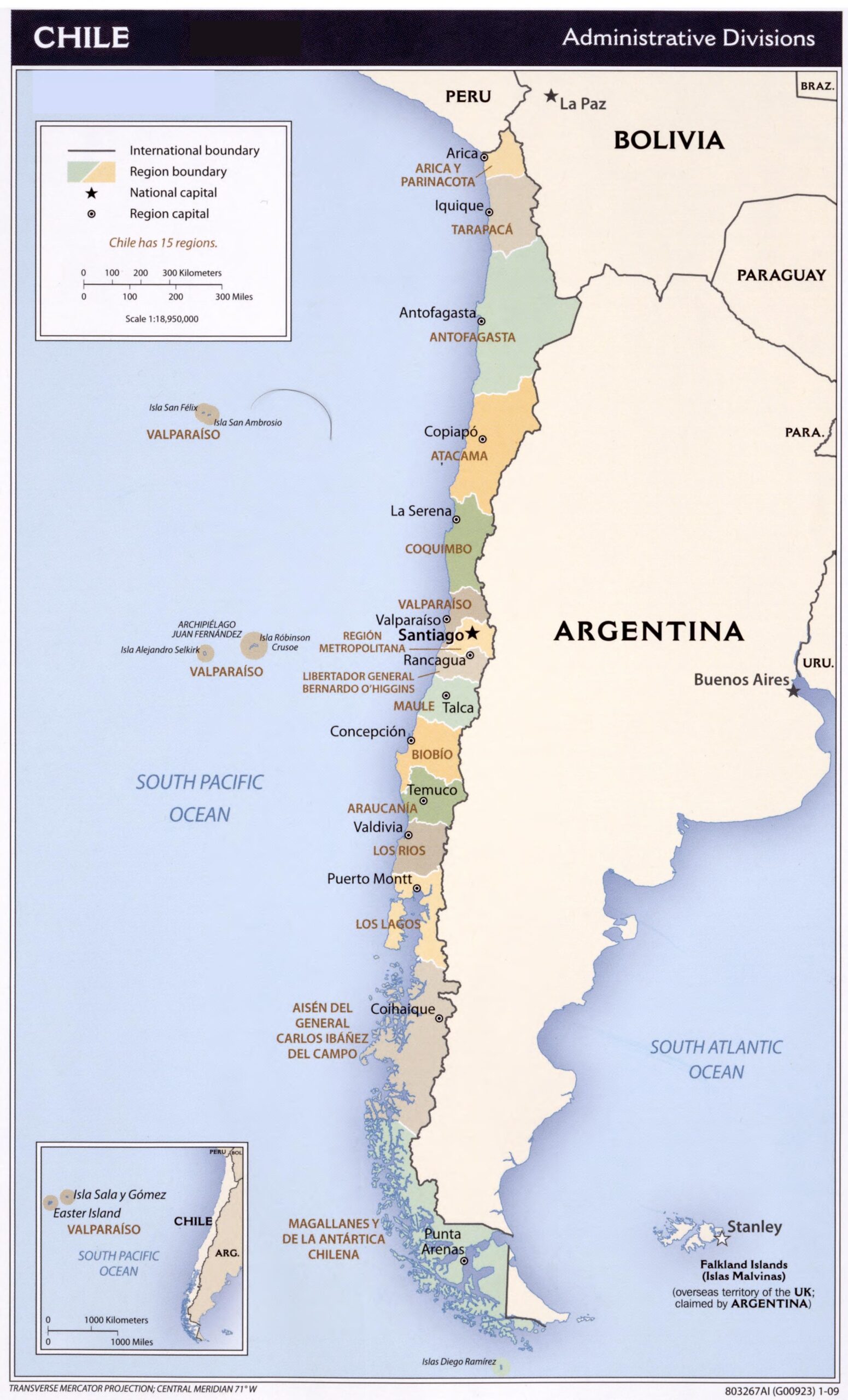
24x41in Poster Chile Administrative Poster Map – 15 Regions, Capitals & Boundaries
| Weight | 8 oz |
|---|---|
| Dimensions | 26 × 2 × 2 in |
| Size (inches) | |
| Finishing Options |
24x41in Poster Chile Administrative Poster Map – 15 Regions, Capitals & Boundaries
This detailed political map of Chile displays all 15 administrative regions along with their capitals and international borders. It includes coastal islands like Isla Sala y Gómez and Easter Island, as well as neighboring countries such as Argentina, Bolivia, and Peru. Ideal for classrooms, travel planning, and geographic reference.
How to Choose the Right Finish for Your Map


Reviews
There are no reviews yet.