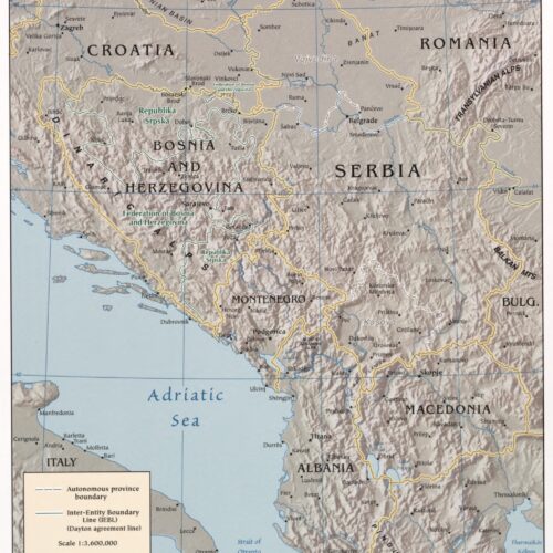
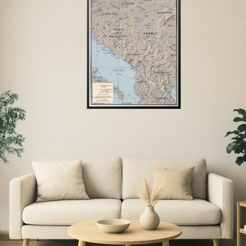
24x41in Poster Central Balkan Region Poster – Topography & Political Boundaries
Explore the complex geography and political boundaries of the Central Balkan Region with this detailed topographic map. Featuring countries like Croatia, Bosnia and Herzegovina, Serbia, Montenegro, Albania, and surrounding nations, it highlights autonomous provinces, inter-entity boundaries (like the Dayton agreement line), and key cities. Ideal for educational use, research, or regional studies.
Reviews
There are no reviews yet.