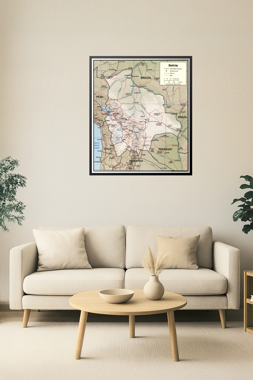
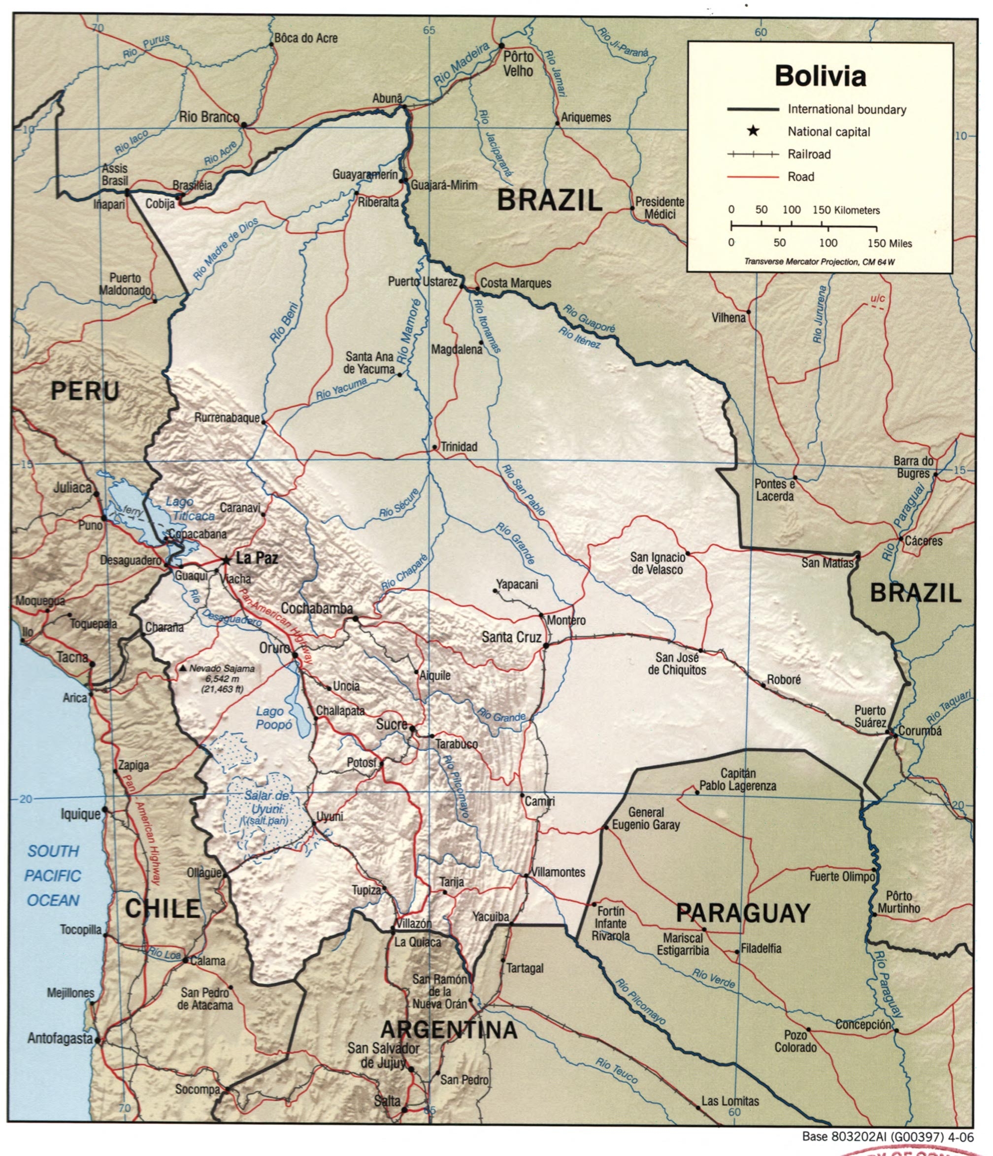

24x28in Poster Bolivia Political Map with Roads, Railroads & Borders – 2006 Edition
This detailed 2006 political map of Bolivia outlines international borders, national and regional road networks, railroads, major rivers, and cities including La Paz, Sucre, Santa Cruz, and Cochabamba. It highlights Bolivia’s connections with surrounding countries like Brazil, Peru, Chile, Argentina, and Paraguay, offering an essential reference for educators, analysts, and geography enthusiasts.
Reviews
There are no reviews yet.