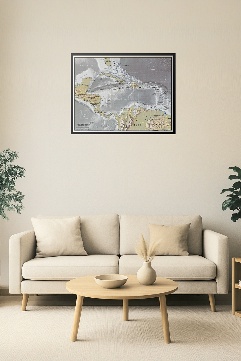
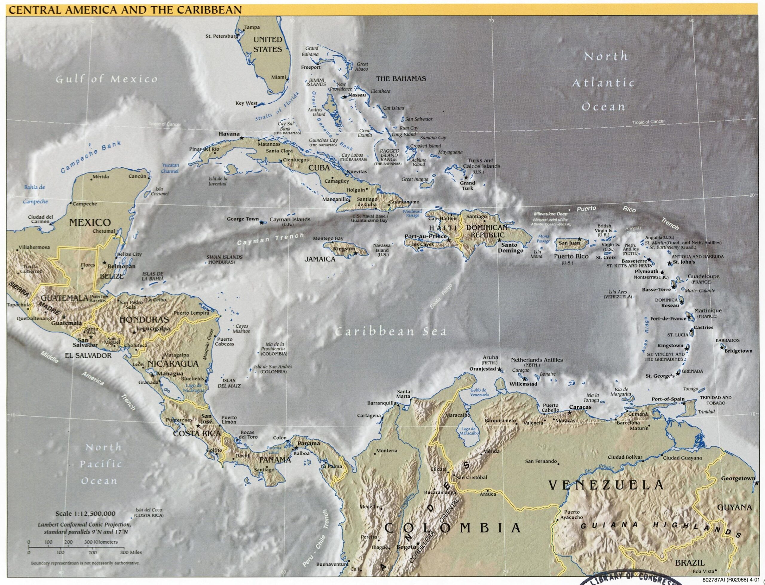

24x31in Poster Central America & Caribbean Relief Poster – Detailed Political and Terrain View
Explore the rich geography of Central America and the Caribbean with this high-quality relief map. Featuring countries from Mexico to Panama and island nations across the Caribbean Sea, this map provides detailed political boundaries, capital cities, and shaded terrain for a comprehensive regional overview. Perfect for classrooms, travel planning, or regional studies.


Reviews
There are no reviews yet.