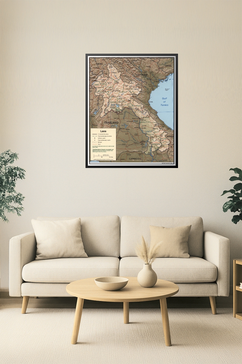
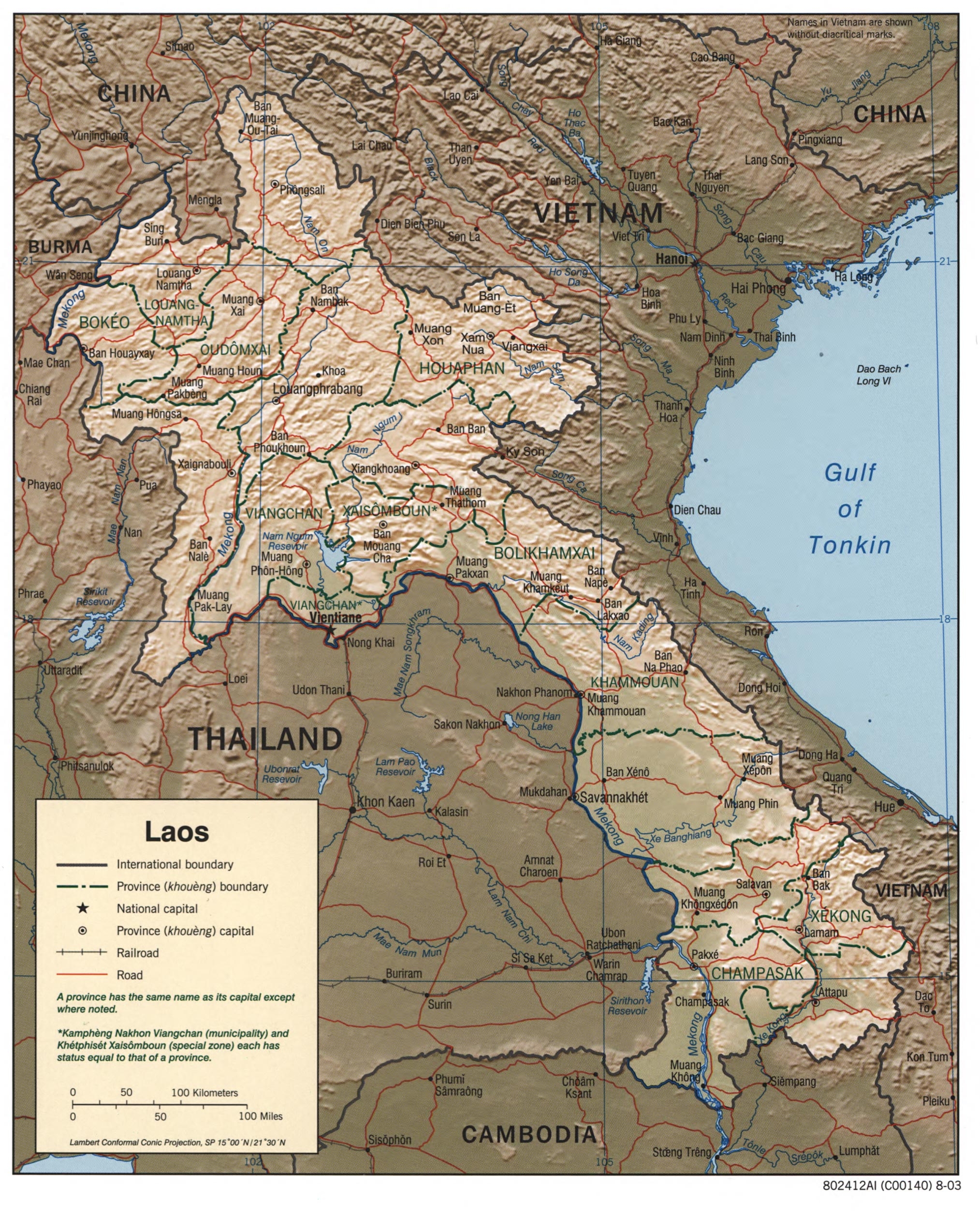

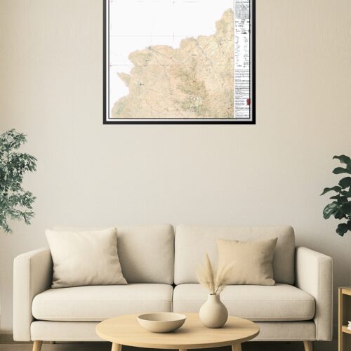
24x30in Poster Laos Administrative & Topographic Map – Political and Physical Boundaries (2003)
This detailed 2003 map of Laos displays provincial boundaries, province capitals, road and railroad networks, and surrounding borders with Vietnam, Thailand, China, Cambodia, and Burma. Elevation relief adds topographic dimension, making it ideal for geopolitical analysis, academic study, or regional display. Highlights key regions such as Luang Prabang, Vientiane, and Champasak.
Reviews
There are no reviews yet.