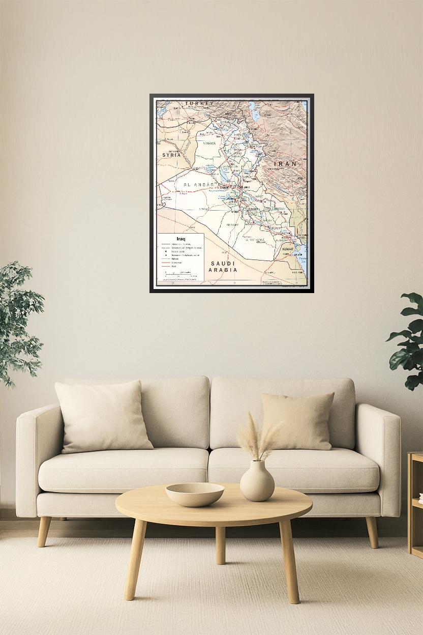
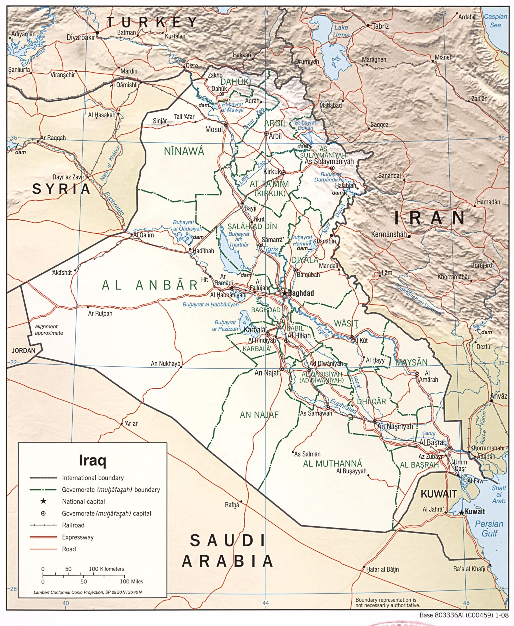

24x30in Poster Iraq Wall Map – Political & Geographical Governorate Boundaries
Highly detailed wall map of Iraq showcasing national and governorate boundaries, major cities, transportation routes, rivers, and neighboring countries. Includes Baghdad as the capital and clear demarcation of key regions like Al Anbar, Ninawa, Basrah, and Kurdistan areas. Ideal for academic, governmental, or strategic planning use.


Reviews
There are no reviews yet.