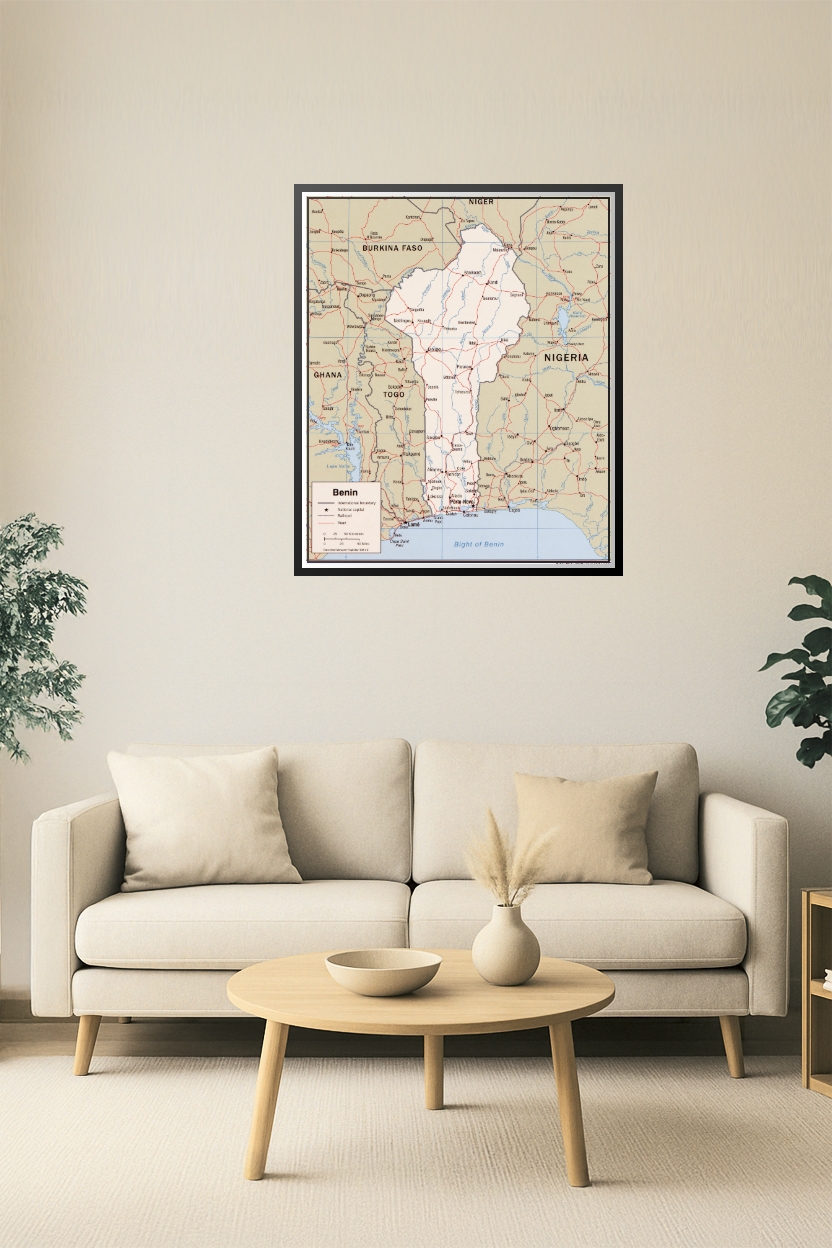


24x29in Poster Benin Political Poster Map – West Africa Borders, Roads & Capitals
Explore the detailed political geography of Benin and its neighboring countries with this high-quality map. It includes international boundaries, national and provincial capitals, major roads, and railways connecting Benin to Nigeria, Togo, Ghana, Burkina Faso, and Niger. Perfect for educational, cultural, and geopolitical reference.


Reviews
There are no reviews yet.