24x28in Poster Ethiopia Tigray Region Geographic Base Poster – Detailed Topographic Reference

| Weight | 8 oz |
|---|---|
| Dimensions | 26 × 2 × 2 in |
| Size (inches) | |
| Finishing Options |
24x28in Poster Ethiopia Tigray Region Geographic Base Poster – Detailed Topographic Reference
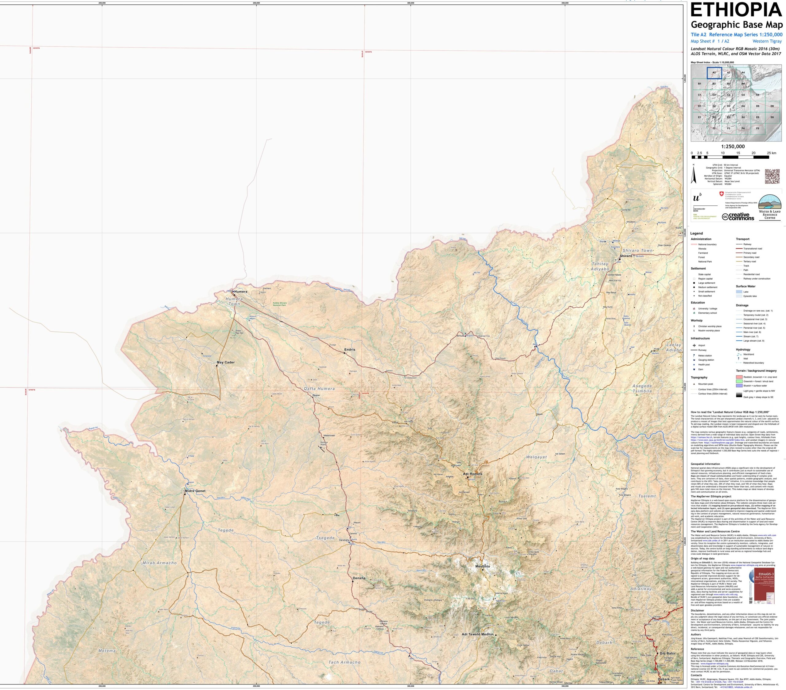
Explore the geography of Ethiopia’s Tigray Region with this professionally produced base map. Featuring elevation shading, roads, rivers, international boundaries, and key towns like Mek’ele, Axum, and Adwa. Ideal for academic research, humanitarian planning, and regional studies. Produced by the World Food Programme and UNOSAT with satellite accuracy.
How to Choose the Right Finish for Your Map


Reviews
There are no reviews yet.