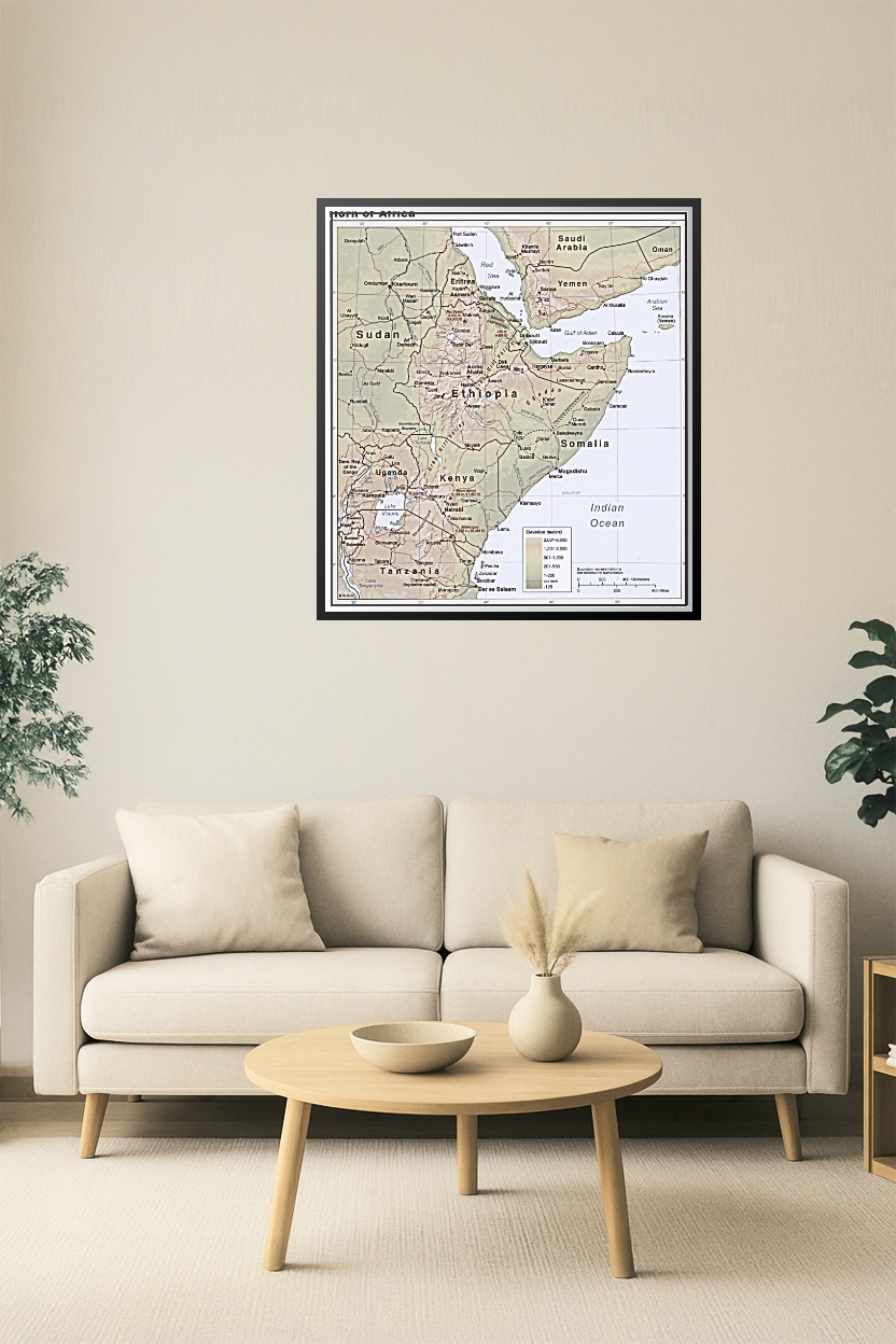


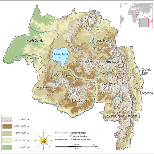
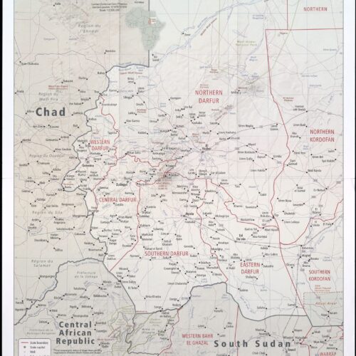
24x26in Poster Horn of Africa Political and Elevation Poster – Ethiopia, Somalia, Kenya, Sudan, Yemen
This high-resolution map illustrates the Horn of Africa with precise political boundaries and elevation shading. Covering countries including Ethiopia, Somalia, Eritrea, Djibouti, Kenya, Sudan, Uganda, and surrounding regions, it highlights major cities, transportation routes, and physical terrain. Ideal for educational, geopolitical, and humanitarian reference.
Reviews
There are no reviews yet.